Arctic blast brings cold air, multiple shots of snow into B.C. coast

A slug of Arctic air washing over British Columbia will bring several chances for snow through Tuesday.
Western Canada is getting cold in a dangerous way this week, thanks to an Arctic front associated with a lobe of the polar vortex. The B.C. coast will certainly feel that cold air, along with multiple chances of snow through Tuesday. There will be enough of snow for major centres such as Metro Vancouver to see travel impacts this week.
DON'T MISS: Could a frigid lead-up to Christmas leave Canada coated in snow?
An Arctic front begins to push into the South Coast from the Interior Sunday. As the front continues to push west, the heavy snow will spread into the west Fraser Valley by early Sunday morning and into all Metro Vancouver regions by the mid-to-late morning.
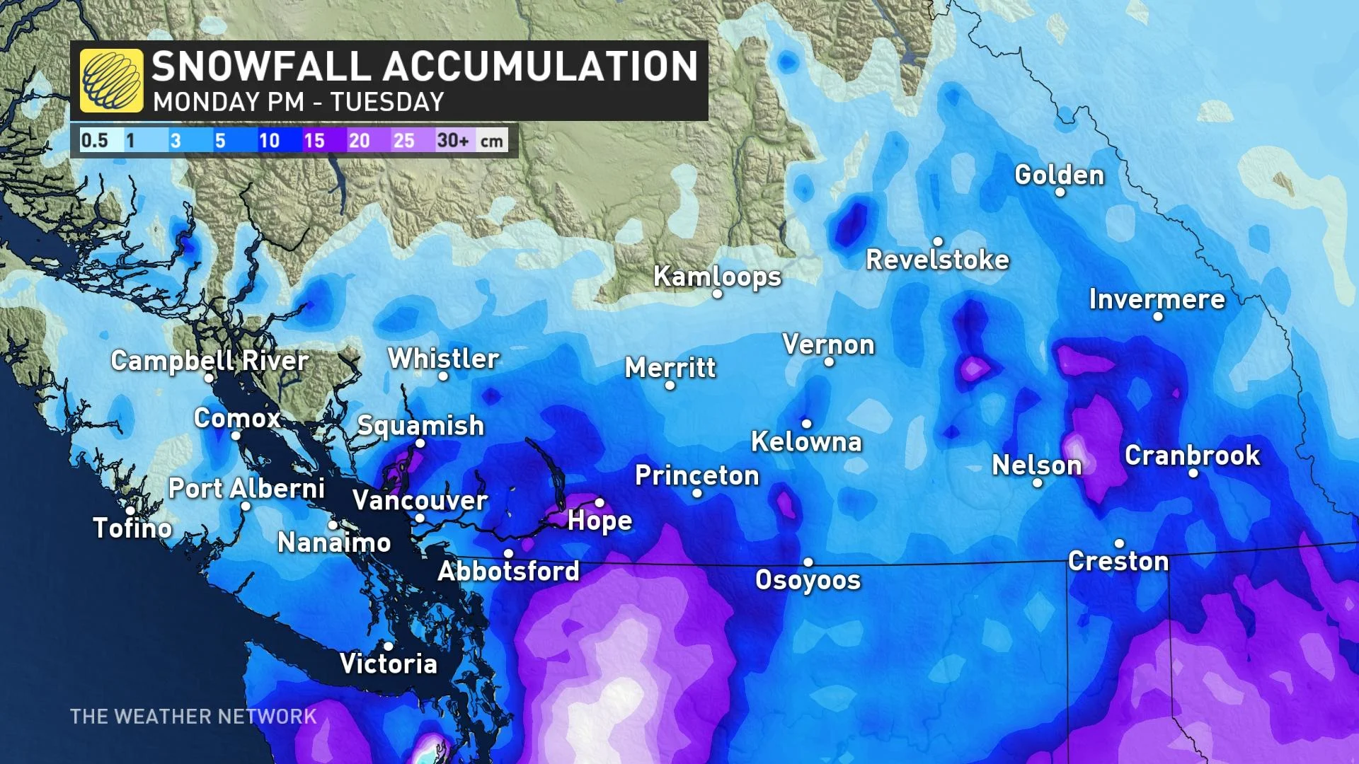
Metro Vancouver can expect totals of 5-10 cm through the day on Sunday, with totals pushing 10-20 cm for areas east into the Fraser Valley.

Strong, easterly outflow winds will accompany the Arctic front, producing areas of reduced visibility. Due to the rapid cooling Sunday from the Arctic front, wet, exposed surfaces on roads and sidewalks could freeze rapidly and become hazardous. Exercise extra caution if out driving, or walking.
Monday will prove a brief—albeit chilly—breather for the South Coast, with calm conditions allowing temperatures to remain firmly below freezing through the day.
Subfreezing daytime highs will even spread onto Vancouver Island, where Victoria might only get up to -3°C on Monday afternoon.
STAY SAFE: Understanding the warning signs of frostbite
B.C. residents won't get much of a break from the snow as our second round it arrives Monday overnight with a developing low-pressure system in the Pacific off the coast of Vancouver Island.
The location of the developing storm will combine with the cold air locked in place to allow widespread snow to spread over southern B.C. through the day on Tuesday, providing a solid opportunity for accumulating snowfall throughout the region.
At this point, it looks like, generally, another close to 5 cm of snow for Metro Vancouver and pockets of 5-10 cm elsewhere. Travel will be tricky again due to slippery road conditions.
Check back frequently over the next couple of days as forecasters refine the details of this snowfall and pin down accumulations. Regardless of specific numbers, the snowfall will likely disrupt travel on Tuesday, with impacts possibly spilling over into Wednesday.

The intensity of the cold air will peak on Wednesday, when daytime high temperatures will only hit about -5°C in Vancouver and struggle to climb much above the negative double-digits in the Lower Mainland.
The extent and duration of this cold weather could make hypothermia and frostbite an issue, especially for unhoused people throughout the region and for people living without reliable access to heat or warm clothes.
A ridge building over the Pacific coast should allow temperatures to return to seasonal levels by Christmas Eve.
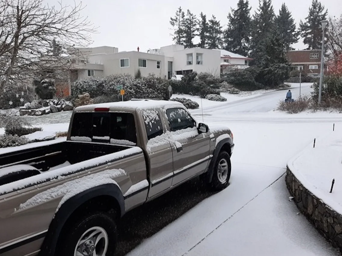
Thumbnail courtesy of John Zupanc.
Check back for the latest on these multiple wintry threats across B.C.