Snow, potentially damaging winds will impact Ontario on Monday
Cooler temperatures put an end to the spring-like feel in southern Ontario on Monday, along with strong wind gusts and snow
In like a lion -- After a weekend that brought more of a spring-like feel to much of southern Ontario, the start of March on Monday will bring us right back into winter, and quick. A gusty northwest wind will bring potentially damaging gusts between 60-80+ km/h, as temperatures fall back below freezing throughout the day, with frigid overnight windchills pushing -20. Lake-effect snow is also expected to pick up in intensity off of Lake Huron and Georgian Bay, creating dangerous and blizzard-like conditions throughout the typical snowbelt regions. The good news is the temperatures will rebound significant through mid-week, though with the typical late winter flip-flopping expected into the weekend. More on the timing and impact, below.
WEATHER HIGHLIGHTS
Potentially damaging winds on Monday, coupled with lake-effect snow
Temperatures take a dip before rebounding by mid-next week
MONDAY: TEMPERATURES DROP, LAKE-EFFECT SNOW, WINDS RAMP UP
March will begin with wintry weather as temperatures dip and snow returns. While many regions saw above seasonal temperatures on Sunday, such as 12°C in Windsor and 4°C in both Ottawa and Toronto, temperatures will feel well below zero degrees across southern Ontario due to the shifting winds.
The cold air aloft, paired with the strong northwesterly winds over the open lake waters will allow for some late season lake-effect snow to develop in the morning on Monday and continue throughout the day.

The snowfall will be a short-lived event, so accumulations will be minimal for most areas. However, 5-10 cm is possible for parts of eastern Ontario and cottage country. Between 2 to 5 cm is anticipated for areas near Lake Huron and Georgian Bay, but localized higher amounts are possible within stronger bands.
Winds will restrengthen in southern Ontario on Monday afternoon. Winds gusting from 60 to 80 km/h will be possible and could be damaging, particularly for areas near Lake Huron and Georgian Bay. Some parts of this region have the potential to see wind gusts over 80 km/h before they diminish overnight.
“Power outages are possible. Damage to buildings, such as to roof shingles and windows, may occur. High winds may toss loose objects or cause tree branches to break,” warns Environment Canada. Blowing snow will be likely, so travellers in these regions should expect difficult travel as visibilities will be reduced.
The snow and winds will ease Monday overnight, with temperatures expected to slowly rebound by mid-week.
TUESDAY AND BEYOND: UP-AND-DOWN TEMPERATURES, UNSETTLED CONDITIONS
Colder than seasonal temperatures are expected for Tuesday, especially for eastern Ontario.
By mid-week, temperatures turn milder once again with fair skies, but late-week holds some potential for the return of unsettled conditions, as well as another drop in daytime highs for the first weekend of March.
Be sure to check back for the latest weather updates across Ontario.
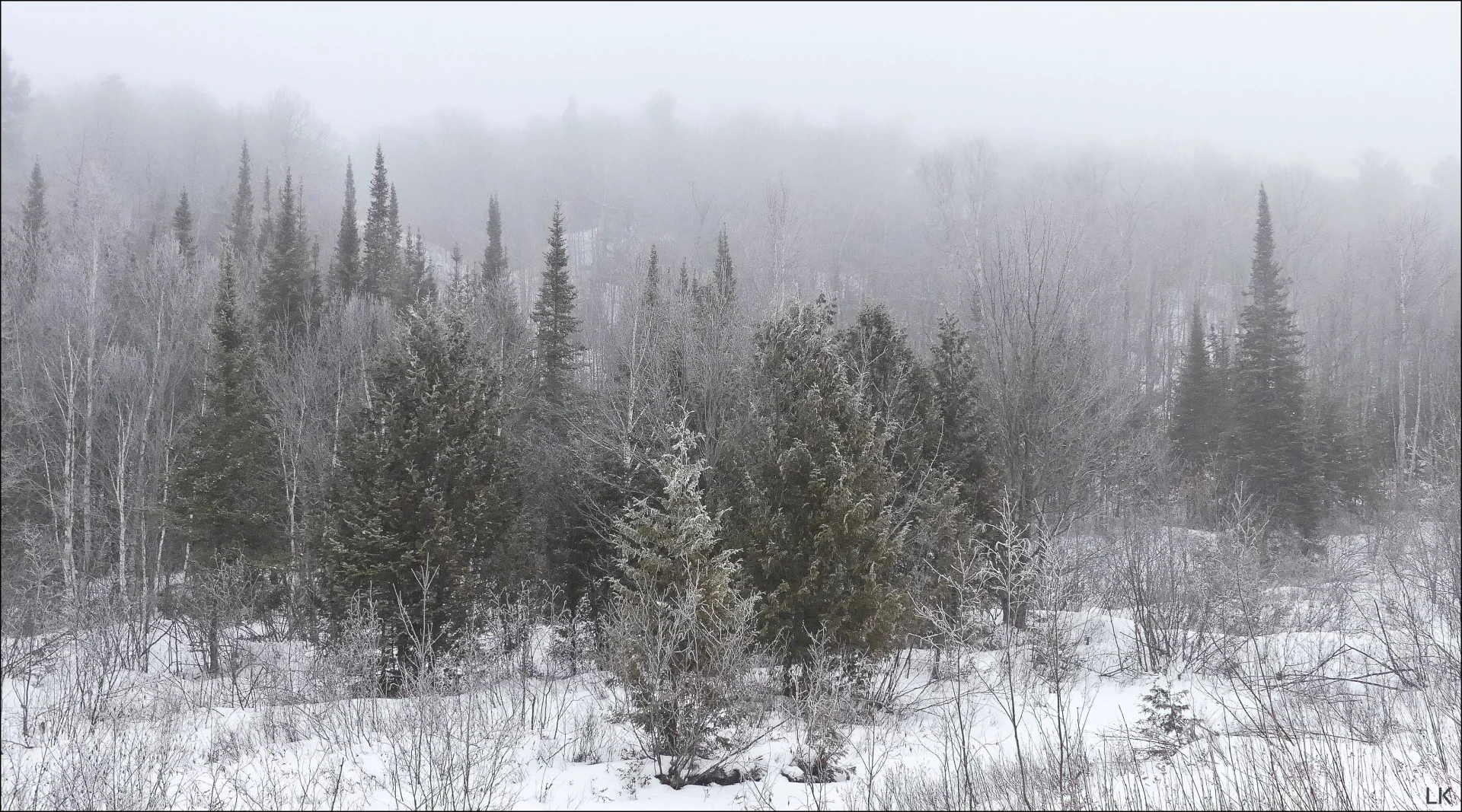
Thumbnail credit: Leslie Karniszewski, Elliot Lake, Ontario
