Snow picks up across southern Alberta, multiple commute times impacted
Snow picks up across southern Alberta Wednesday, threatening multiple commute times with heavy accumulations. Be prepared to adjust to the changing conditions.
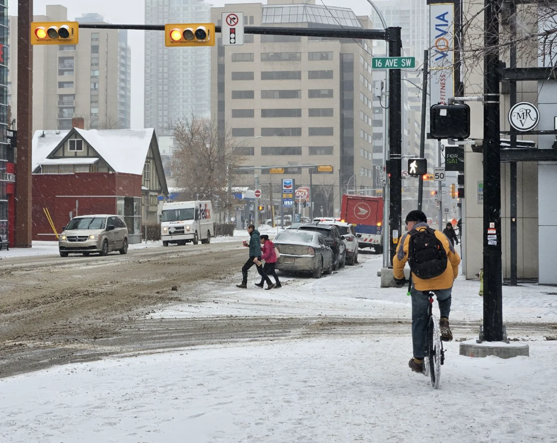
Following days of dangerous and record-breaking cold, Albertans are now up against some difficult travel through Wednesday as heavy snow targets western and southern sections of the province. Before dawn, Calgary had already picked up 5 cm.
By the time all is said and done, more than 30 cm of snow could accumulate in some of the hardest-hit areas, including Lethbridge, with Calgary somewhere in the middle –– 10-15 cm.
Be prepared to adjust your driving with changing road conditions. If visibility is reduced while driving, turn on your lights and maintain a safe following distance. Surfaces such as roads, streets, sidewalks and parking lots may become difficult to navigate due to accumulating snow.
PHOTOS: Heavy snow hits western Canada
Wednesday into Thursday
A front from northern B.C. tracked into Alberta and brought snow to Edmonton earlier on Tuesday, continuing to spread south through the day on Wednesday. By 5 a.m. local time, Calgary had reported 5 cm, enough to slick up the roads ahead of the morning commute.
Through the afternoon, more moderate snow is possible and could bring the evening drive to a crawl.
Areas to the south, including Claresholm , Lethbridge, and Pincher Creek will see some of the heaviest accumulations, with as much as 35 cm possible by the time all is said and done. Snowfall may pick up in intensity as the low slides south through Montana during Wednesday evening.

DRIVERS BEWARE: Check current highway conditions before heading out
The snowfall will be the light and fluffy variety, thanks to the very bitter cold temperatures. Therefore, expect it to rapidly accumulate and drift along the roadways with ease. Travel south of Calgary will require extra care and caution.
Luckily, wind gusts are rather light, so visibility will be reduced but won’t be zero. Conditions improve Thursday as the system exits the province.

The record-shattering and bitterly cold temperatures will slowly begin to rebound, warming by nearly 40 degrees over the week, pushing Western Canada out of this brutal deep freeze.
However, a couple of Arctic highs will track across northern areas with frigid temperatures early next week, and then again later in the week.
WATCH | El Niño to make a return to Canada, wiping out the deep freeze:
Stay with The Weather Network for more forecast information and updates for your weather across Alberta


