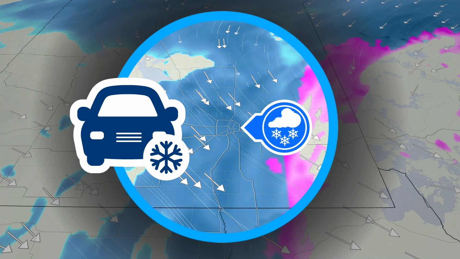
Snow, ice may hamper Friday morning commute in Manitoba
Prepare for slick roads across portions of southern Manitoba into Friday morning
Snow and ice moving into Manitoba will make for a rough Friday morning commute in and around Winnipeg.
Drivers should expect falling snow and slick driving conditions as they start the day on Friday.
DON’T MISS: El Niño might split Canada’s summer in two
Snow and ice expected in Manitoba into Friday
After a major dose of wintry weather slid across the Prairies this week, a fresh round of snow and ice will reach southern Manitoba overnight Thursday and into the first half of Friday.

Temperatures will fall overnight and remain below freezing into the weekend.
We’ll see precipitation move into the region with a developing system, arriving as snowfall in the Winnipeg region and an icy mix across southeastern Manitoba.
The combination of snowfall and slick roads will make for a difficult Friday morning commute throughout the region. Plan some extra time into your drive to account for any potential delays.

Snowfall totals will range from 3-5 cm with higher amounts of 10-15 cm possible across central Manitoba. Areas that experience freezing rain, including the Trans-Canada and south, will see very slick surfaces as a glaze of ice builds up.
Looking ahead, a pattern change expected across Canada next week will affect Manitoba. Wednesday could bring Winnipeg’s first 20-degree day since Oct. 3. This warmup will also affect the northern half of the province, where snowmelt and high water levels will pose a concern.
Stay with The Weather Network for all the latest on conditions across Manitoba.