Snow and ice make for difficult Thursday commute in Ottawa, eastern Ontario
Freezing rain warnings remain in effect across parts of eastern Ontario, with an impact on the morning commute likely amid slick road conditions
Ontario's first freezing rain event of the season has made for some tricky and dangerous travel conditions, with a prolonged period of icy precipitation prompting widespread warnings across the south on Wednesday.
RELATED: PHOTOS: Ice coats the roads in parts of Ontario as wintry mix hits
The system moved into eastern Ontario through the overnight hours, giving commuters across the region a harsh dose of the early winter reality early Thursday morning.
Freezing rain warnings were issued for the city of Ottawa and a good section of the east, urging residents to use caution when walking or driving in affected areas.

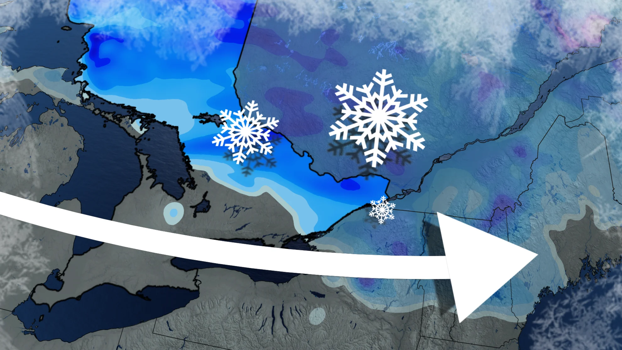
The morning commute in Ottawa will be quite a snowy one.
Thursday
Mostly snow was falling before sunrise across central and eastern Ontario early Thursday, but this will be followed by a mixture of ice pellets and freezing rain for some areas throughout the morning.
The heaviest snow will occur over the Algonquin Highlands, with upwards to 15 cm expected by the time all is said and done. For areas along the Ottawa Valley, including the National Capital Region and Gatineau, 5-10 cm is possible.

In some areas that see an extended period of ice pellets, snowfall amounts will be 5 cm or less.
LEARN MORE: Why freezing rain is the 'worst' precipitation type
The greatest threat of ice pellets will occur in the Kawarthas through the Hasting Highlands, and east into areas close to Ottawa. Areas south of that is where the greatest threat of freezing rain will be, where upwards to 5 mm of ice may freeze on surfaces.

A quieter weather pattern will take hold for the weekend and into next week, with no major storms expected. There will however be bands of lake-effect rain and snow showers east of Georgian Bay and Lake Huron during Friday and Friday night.
Temperatures this weekend will be several degrees colder than seasonal. A chilly start to next week is expected, but then a warming trend will spread west to east across the region. A few days of very mild weather are expected mid to late next week and into the weekend. Temperatures will be well above seasonal, and more typical of October, with daytime highs reaching the low to mid teens.
These above seasonal temperatures are expected to dominate during the second half of November, but quick shots of colder weather are still possible at times.
WATCH: Why November can be a monster for snow near Canada’s big lakes
Stay with The Weather Network and check back frequently for the latest on the system and how it may affect your community and your travels through Thursday.