Storm risk subsides Sunday in Ontario, but humidity keeps rising

Beyond the weekend's storms lies a stretch of dangerous heat next week, as humidex values push or reach 40.
Showers and thunderstorms rolled through much of southern Ontario Saturday, and there's a less-potent encore ahead for Sunday. More remarkable for most people will be the continued heat and humidity, which will leave most of the south of the province feeling like the mid-to-upper 30s. Beyond the weekend, next week could feature the hottest days of the summer so far, with multiple communities feeling close to 40 for several days. A closer look, below.
SUNDAY: STORM RISK SUBSIDES, TEMPERATURES CONTINUE THEIR SURGE
Sunday will see the threat for thunderstorms surface again, but at present time, any that do develop in the afternoon are expected to remain below severe criteria. The exception will be around the shores of Georgian Bay, where there's a slight chance of severe storms.
The main threats will be heavy downpours, gusty winds, and some small hail.

The heat and muggy conditions will continue. Parts of the extreme southwest will top 30°C, but the rest of the region won't be far behind with daytime highs approaching the 30-degree mark.
Humidity will continue to be a factor, however, so most places will be feeling well into the 30s, nearly 40 in the southwest and far eastern Ontario.

LOOK AHEAD: MORE SHOWERS, COULD BE HOTTEST WEEK OF THE SUMMER
All this building humidity will gradually boost the region's PWAT, meaning any showers that do spring up will be heavier and longer-lived.
Monday and Tuesday look particularly likely to be a rainy one for many people, particularly from the afternoon into the evening.

Meanwhile, the heat and humidity will continue to build to uncomfortable and even dangerous levels through the week.
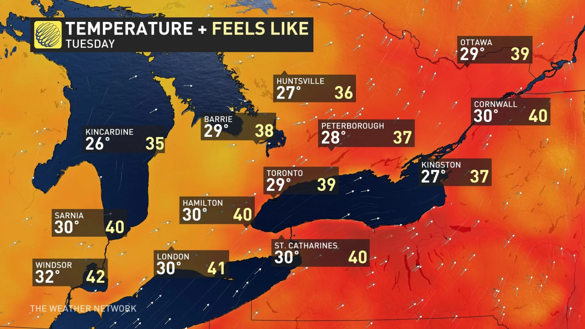
In fact, next week should be the hottest week of the summer across southern Ontario and Quebec. Temperatures will remain locked into the upper 20s and lower 30s, with a humidex in the high-30s and low-40s for much of the week. It will be very humid.
The culprit will be a ridge of high-pressure parked by the southeastern U.S. In atmospheric terms, it will have the effect of ushering warmer southwesterly winds up into southern Ontario for several days.
When planning for next week, people should expect to have to limit outdoor activities and make active preparations to keep cool.
WATCH BELOW: IS IT DANGEROUS TO DRINK ICE COLD WATER ON A HOT DAY? WE ASKED AN EXPERT
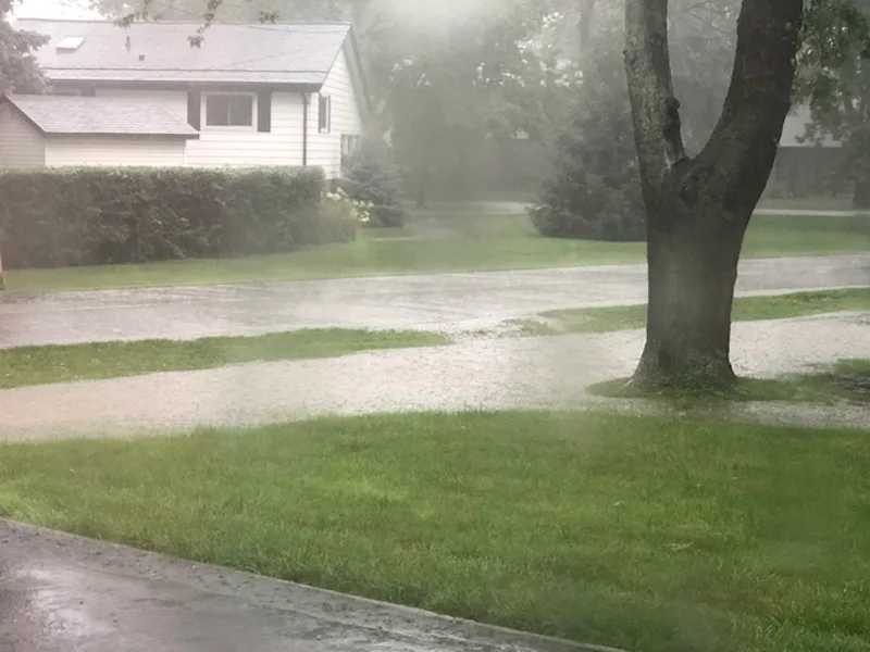
Thumbnail courtesy of Robert V., taken in Tecumseh, Ont.
Check back as we continue to monitor the long-range forecast