B.C. in position for scorching heat and smoky skies this week

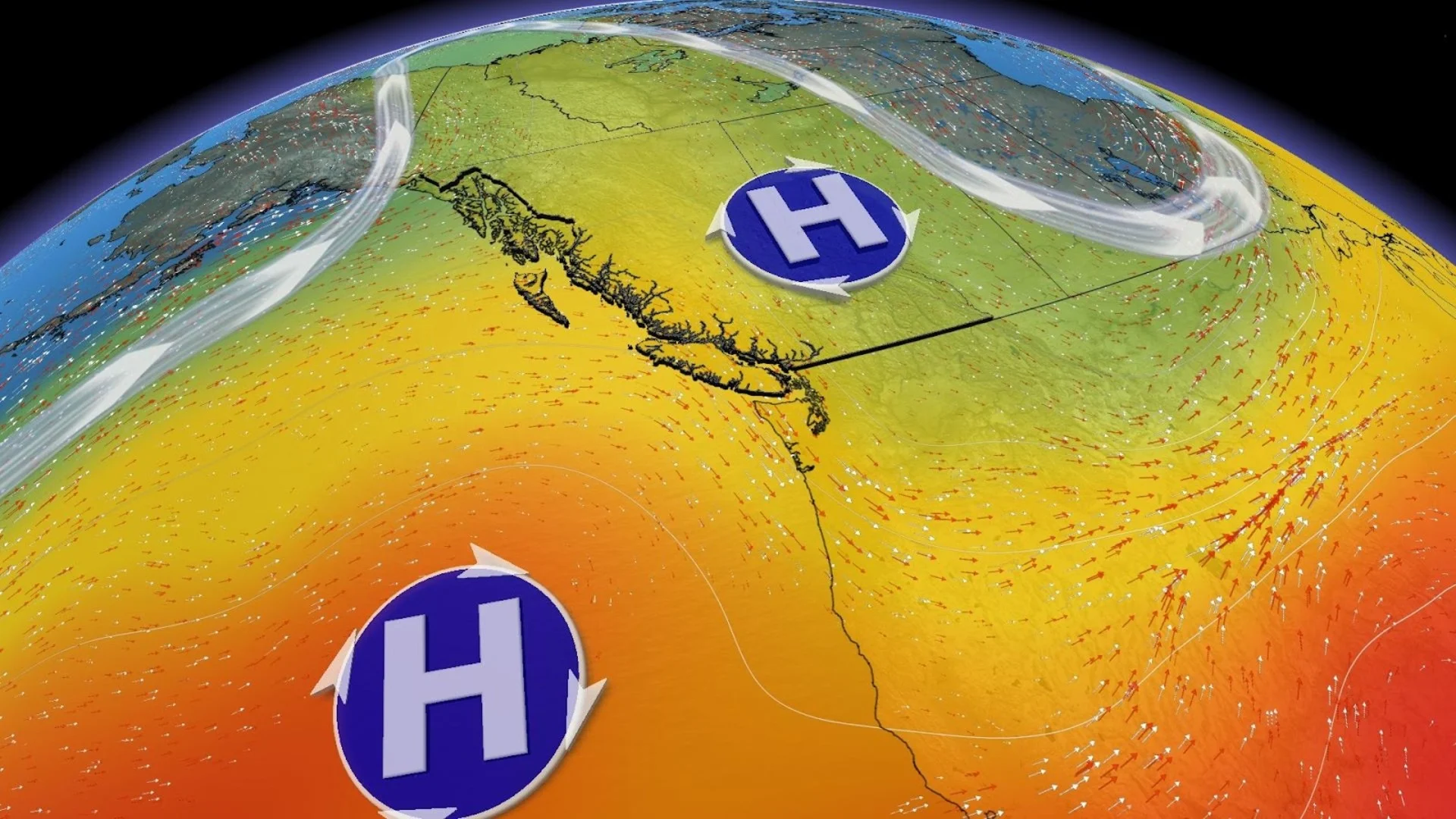
A building ridge of high pressure pushes temperatures up to 10°C above normal for some inland locations
It's going to be a sizzling start to the work week for British Columbia, as temperatures and smoke concentrations are expected to rise into Tuesday.
A building ridge of high pressure is moving in from the Pacific Ocean, pushing temperatures up to 10°C above average for some inland locations along the South Coast.

Temperatures across inland sections of the Lower Mainland will soar into the low 30s, rivalling some of the warmest days of 2023. Overnight lows will remain stubbornly in the mid-to-upper teens. Those particularly vulnerable to the heat should take precautions.

SEE ALSO: What happens after the Donnie Creek wildfire, now larger than P.E.I., stops burning?
With under 20 mm of rainfall recorded in Vancouver, it’s no wonder fire danger remains near extreme levels for this time of year. It’s possible that the South Coast doesn’t pick up any appreciable precipitation over the next couple of weeks.

It’s the third most destructive wildfire season in terms of area burned across the province of B.C., and some of that smoke from the wildfires in the Prince will become quite noticeable across the southern half through Tuesday.
As of July 3rd, there are 47 wildfires classified as out of control by the BC Wildfire Service.

Long Range Outlook
Temperatures will remain well above seasonal for western sections of British Columbia right through Thursday before temperatures drop into next weekend. The extreme temperature anomalies will shift across northeastern B.C., making for volatile fire weather conditions.
Stay with The Weather Network for the latest on the severe storm threat across the region.