Parts of the Prairies bracing for April snowstorm, 15-30 cm of snow

Winter storm watches now line parts of the Prairies for a mid-week system that threatens heavy snow and strong winds, so people can expect travel interruptions
If you live in southern Saskatchewan or Manitoba, get the snow-clearing equipment ready.
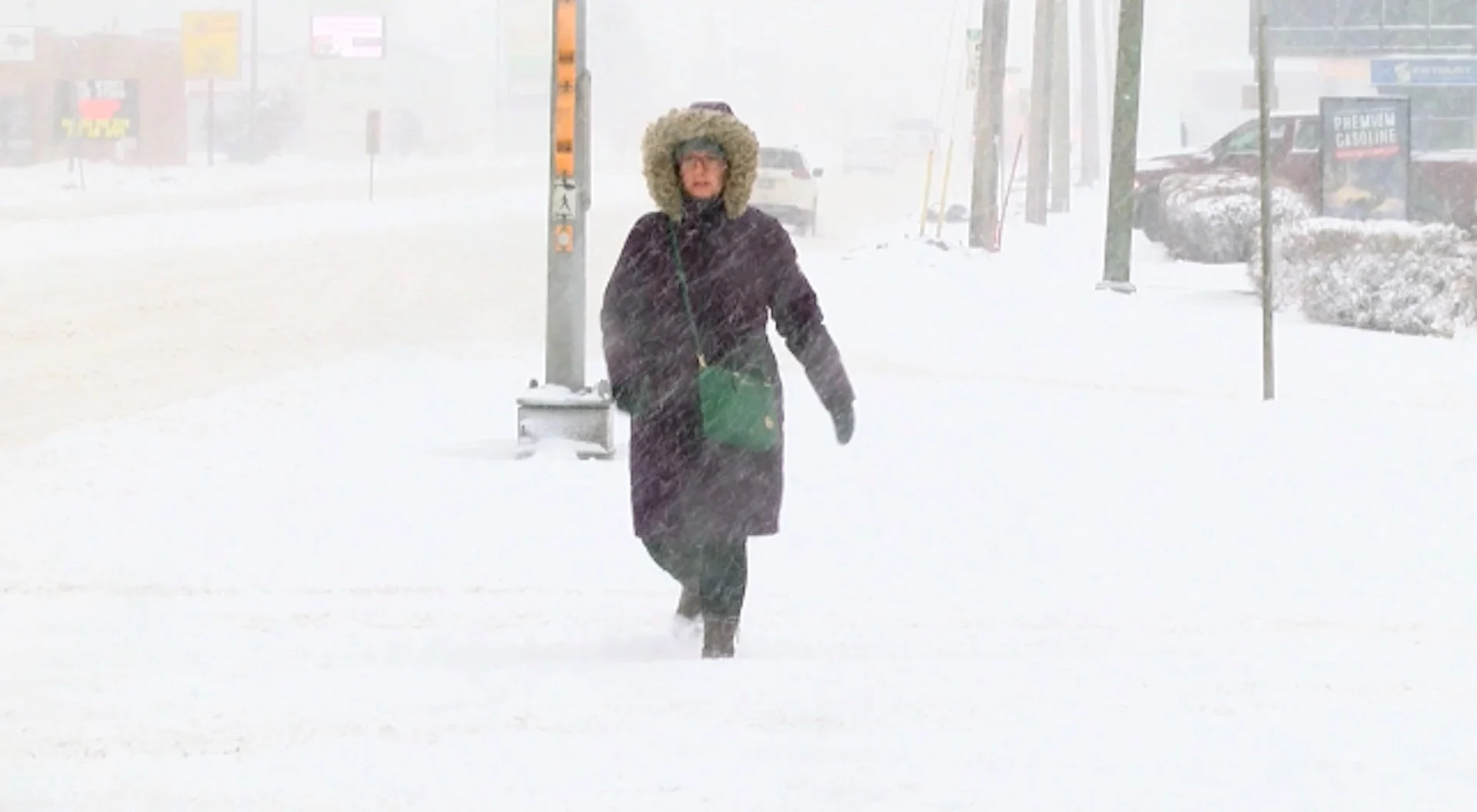
Another spring storm is taking aim at parts of the Prairies this week, with the potential for 15-30 cm of snow for some, in addition to blustery winds. These conditions will make travel treacherous, if not impossible, for many regions.
Also, the winds and snowfall associated with this system will contribute to the building flooding concerns.
MUST SEE: Uncertainty swirls around 2023 hurricane season as El Niño looms
Winter storm watches have been issued for parts of southern Saskatchewan and central Manitoba, warning of the complex setup of this system and the potential wintry impacts it will bring.

"Snow totals will be highly variable and tricky to forecast due to the nature of the system and temperature profiles," says Kelly Sonnenburg, a meteorologist at The Weather Network.
A large, upper-level low spinning off over the Pacific will eject energy inland, developing a low-pressure system into Tuesday. The low will track north and push widespread across southern Saskatchewan, Manitoba, and parts of Alberta Wednesday and into Thursday.
Forecast models are showing increasing confidence in snowfall projections of 15-30 cm in the hardest-hit areas across southern Saskatchewan and Manitoba.

Rain mixed with snow will move into the area Tuesday evening with precipitation fully transitioning to snow in the overnight. The heaviest snowfall will begin to fall early Wednesday morning. Total accumulations of all types of precipitation may exceed 30 mm for some areas.
Flood levels are expected to peak next week across parts of southern Manitoba, where several flood warnings are in effect along the Red River and Assiniboine River.
RELATED: Get ahead of disaster: Six tips to manage flooding
Blustery winds, with gusts between 50-60 km/h, will also accompany this storm on Wednesday, leading to some reduced visibilities and dangerous travel conditions at times.
The strongest winds are expected to occur over the Manitoba parklands and extreme southeast Saskatchewan beginning Wednesday morning before gradually diminishing overnight.

Despite the looming threat of a wintry system this week, it doesn’t look like we'll see persistent extreme temperatures in either direction through the rest of April into early May. However, the western half of the country will likely tip toward the colder side of seasonal for the second half of April.
Thumbnail courtesy of Chris D/submitted.
Stay tuned to The Weather Network for the latest forecast updates on the Prairies.