Shifting ridge brings more storms and heat to the Prairies
A gradual change in the pattern is underway across the Prairies as our active storm track shifts east to end the week
A busy week on the Prairies continues into Friday as the region deals with a big mix of classic summer weather. Wildfires continue raging in Alberta even as cooler temperatures and rain arrive in the province.
We’re tracking the ridge of high pressure responsible for the heat as it continues sliding east across the region. Hot temperatures will persist in southern portions of Saskatchewan and Manitoba into early next week.
An active storm track around the edge of this heat ridge will foster additional rounds of rain and thunderstorms throughout the Prairies to begin the weekend.
Stay with The Weather Network’s wildfire hub for the latest on fires across Alberta and around Canada
Massive wildfires north and south of Jasper, forcing the evacuation of thousands from the national park on Monday night. As of Thursday, the town has suffered significant building and infrastructural losses due to the fire.

A stubborn low-pressure system in northern Alberta will swirl over the region for another day, bringing widespread persistent rain and embedded thunderstorms to communities like Fort McMurray.
The Edmonton area is on track to see 30-50 mm of rain through Friday, while some areas closer to Fort McMurray could see 75-100 mm of rain by the time precipitation finally subsides.

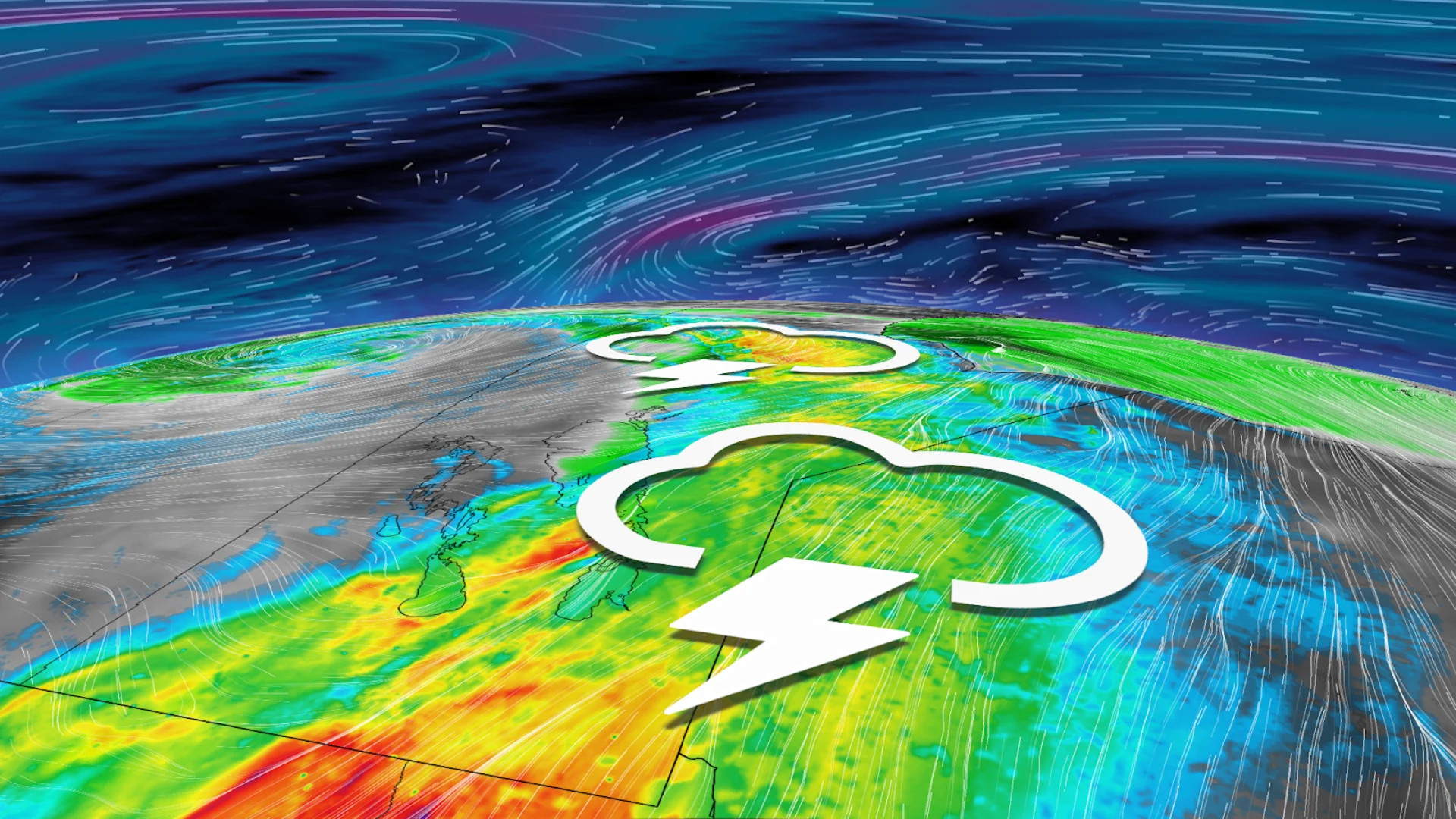
We’ll see a risk for thunderstorms around the edge of that heat ridge over the Prairies, with northern portions of Alberta and Sasksatchewan seeing more rain and storms to close out the week.
Thunderstorms are also likely throughout much of northern and eastern Manitoba, as well as northwestern Ontario, including Winnipeg, Kenora, Dryden, and Thunder Bay.

Forecasters are watching the potential for some thunderstorms to possibly turn severe across northern Manitoba and northwestern Ontario, including Churchill, Gillam, and Red Lake. The strongest cells could contain heavy rainfall, large hail, and strong wind gusts.
SEE ALSO: Best practices to keep yourself safe from wildfire smoke
WATCH: 'Significant loss' of buildings reported as wildfire reaches Jasper townsite
Much “cooler” weather will slowly spread east across the region by late week. High temperatures on Friday will range from the mid-teens for parts of northern Alberta to the low- to mid-30s for southeastern Manitoba.
The break in heat won't last long, however, as warmer-than-normal temperatures will dominate next week, especially across southern areas, with extreme heat at times. Folks in Saskatchewan and Manitoba could once again be looking at highs in the 30s through the beginning of next week.
Stay with The Weather Network for all the latest on conditions across Alberta and the rest of the Prairies.