Tornado risk builds into Sunday for Manitoba, northwest Ontario
A risk for tornadoes will accompany the strongest storms that develop on Sunday
Rounds of strong to severe thunderstorms will continue this weekend as an active pattern spreads over the eastern Prairies and northwestern Ontario.
A risk for severe storms will cover portions of Saskatchewan through the overnight hours Saturday into early Sunday. A more robust threat for severe weather will develop over Manitoba and northwestern Ontario during the day Sunday, bringing along a risk for a few tornadoes.
Keep an eye on the radar for storms in your area, and stay alert for watches and warnings that may be issued this weekend.
DON’T MISS: How severe weather alerts are issued, and potentially save lives
Overnight severe storms possible in Saskatchewan
A low-pressure system trekking across the southern Prairies is responsible for the active weather we’ve seen for the past couple of days.

We’re watching a developing front associated with this low as it drags across the international border in southern Saskatchewan heading into Saturday night.
This front could trigger thunderstorms throughout southern Saskatchewan overnight Saturday into early Sunday morning. This potential includes the Regina area. The strongest storms that bubble up Saturday night and Sunday morning could produce strong wind gusts, small hail, and heavy rainfall.
Tornado risk develops on Sunday
All eyes are looking toward a favourable setup for significant severe weather on the eastern Prairies and northwestern Ontario to end the weekend.
A deep reserve of instability seeping north of the border will provide the fuel needed for severe thunderstorms to develop over much of Manitoba and northwestern Ontario. Computer models are suggesting an unusually high amount of instability by Canadian standards.

MUST SEE: Stuck in your car during a tornado? Here’s what you should do
However, the atmosphere will remain capped over southeastern Manitoba for much of the afternoon, which will delay storm development. While there is confidence in thunderstorms developing by Sunday evening, it’s still a bit uncertain whether this happens in Manitoba or holds off until the most favourable dynamics are over northwestern Ontario.
An overnight squall line is likely along Highways 11 and 17, though it should weaken by Monday morning before reaching Thunder Bay.

These storms could organize into supercells with the potential for one or two tornadoes, large hail, and damaging wind gusts potentially up to 120 km/h. The greatest potential for supercell storms to develop will be between Winnipeg and Fort Frances.
Forecasters will be keeping a close eye on these storms throughout the weekend. Pay very close attention to the forecast through the weekend and prepare for the likelihood of dangerous storms developing in the region on Sunday.
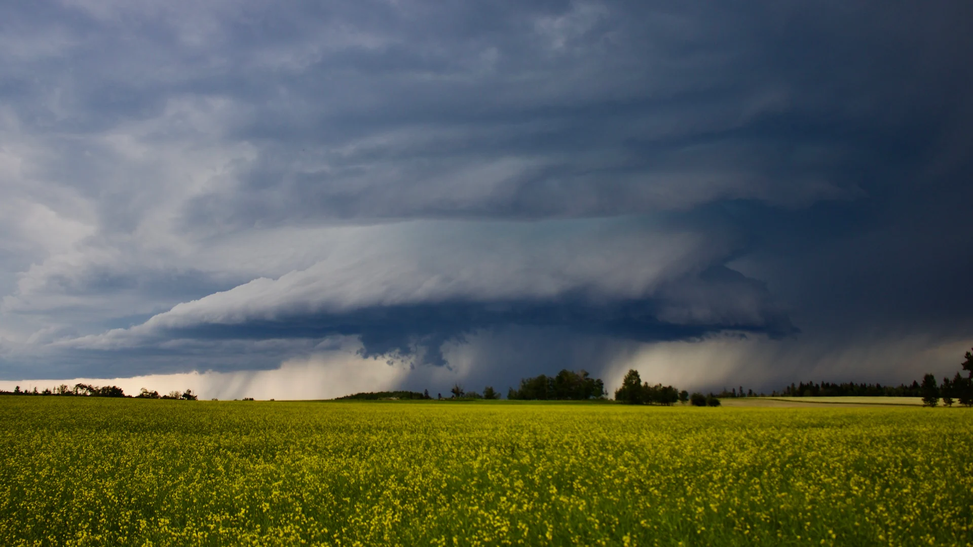
Header image submitted by Jeff Adams.
Stay with The Weather Network for the latest on your forecast across the Prairies.