
Severe weather threat continues for northwestern Ontario Monday

A severe thunderstorm risk is expected Monday for parts of northwestern Ontario, with threats including strong winds, heavy rain, and hail ranging from quarter to ping-pong ball size
Warm, humid air combined with upper-level dynamics is creating conditions favourable for additional severe weather across parts of Manitoba and northwestern Ontario Monday.
DON'T MISS: Tornado season is underway in Canada. Here’s what you need to know
There remains some uncertainty regarding the exact location and timing of the most intense storms. Those in the affected regions should stay alert and monitor updates for further developments.

Monday risks: Damaging wind threat and large hail
Severe thunderstorms persisted into Sunday night across Manitoba, with rainfall cooling some of the surrounding environment. A surface cold front is expected to trigger additional severe storms Monday afternoon.
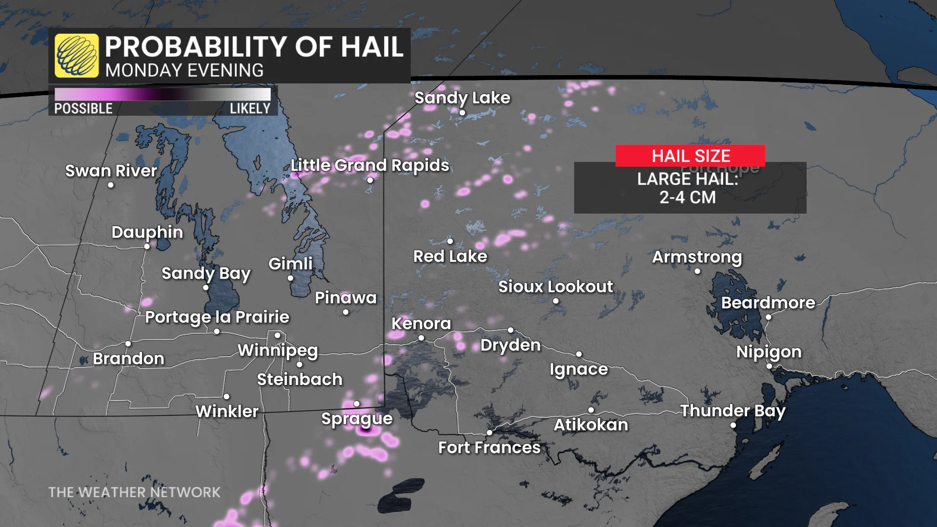
As daytime heating increases instability, discrete storm cells may develop along the international border and further into northwestern Ontario. Large hail, between 2–4 cm in size (up to ping-pong ball size), and wind gusts up to 100 km/h are possible.
"Significant damage or destruction to infrastructure, homes and the natural environment is possible," warned Environment and Climate Change Canada (ECCC) in the tornado watch.
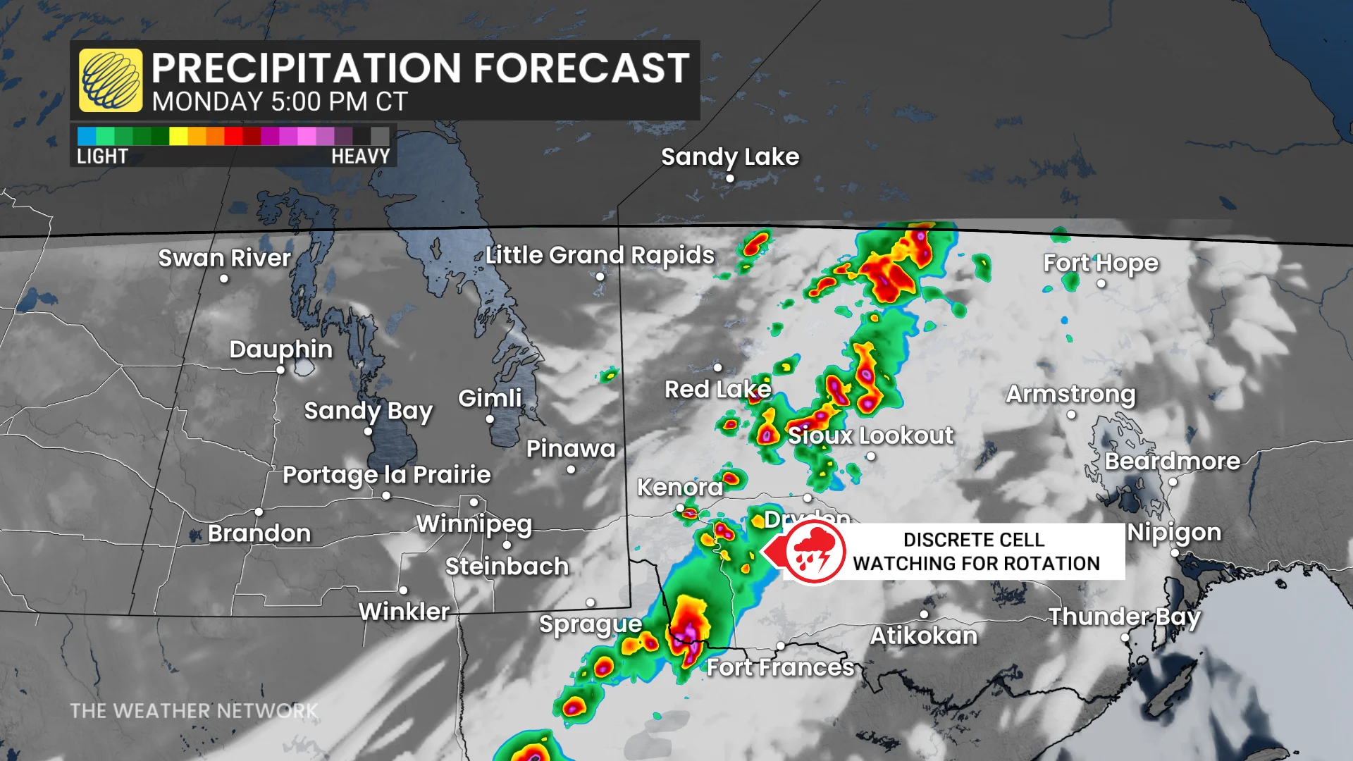
The potential for rotating storms is highest near the border areas, including the international border and the Manitoba-Ontario boundary.
A mid-level jet, combined with strong mid-level flow, is expected to sustain storms at higher altitudes, further enhancing the risk of rotation.
DON'T MISS: A normal July brings Canada drought, downpours, and dizzying heat
The exact location and timing of Monday's strongest storms remain uncertain. Residents in affected areas are advised to stay vigilant and follow updates and weather alerts for the latest information.
Stay with The Weather Network for all the latest on conditions across the region.