Severe storms to intensify across northern Ontario and Quebec Friday

Heavy rain, strong winds and hail become high risks as stroms strengthen through the day
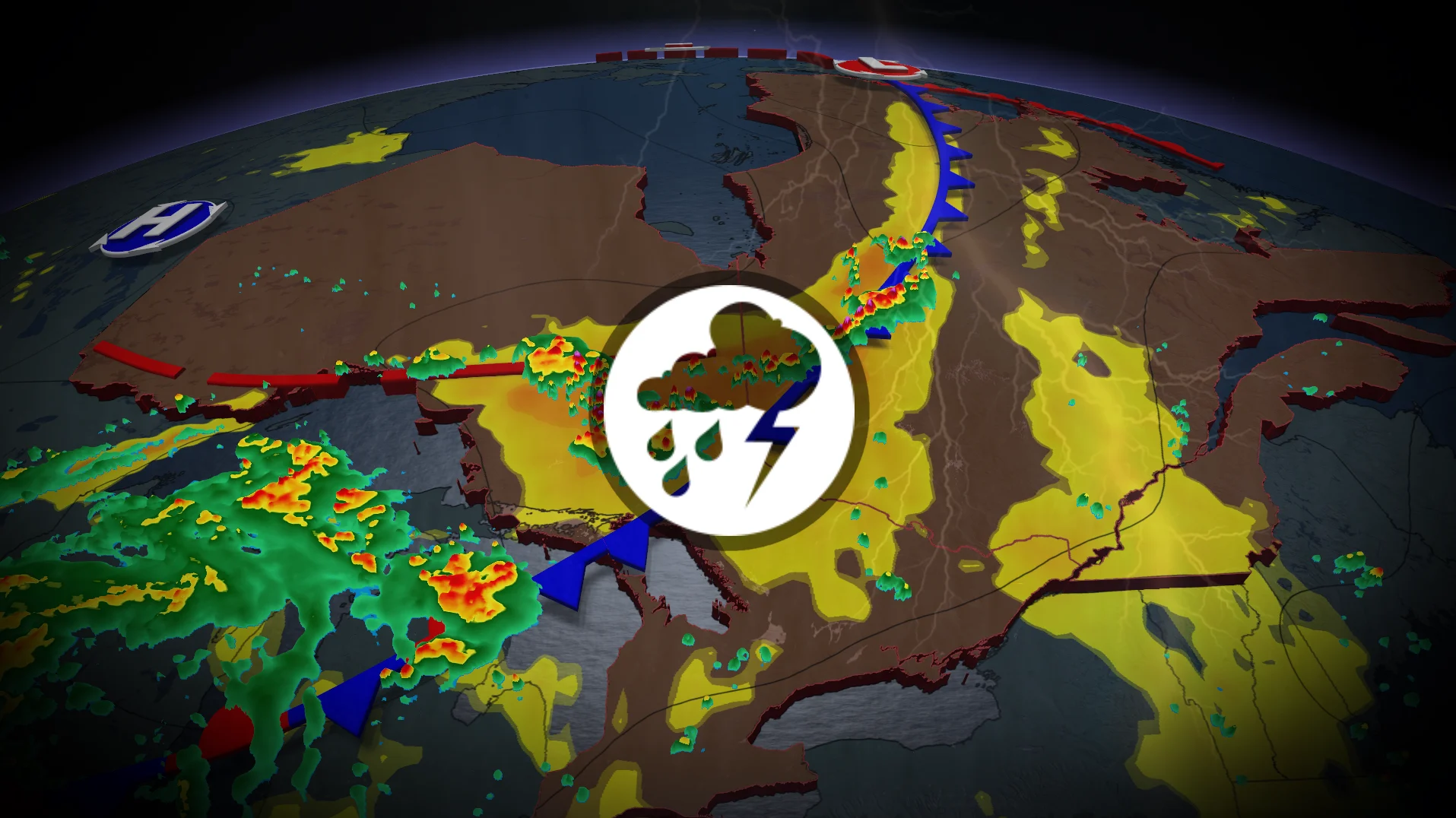
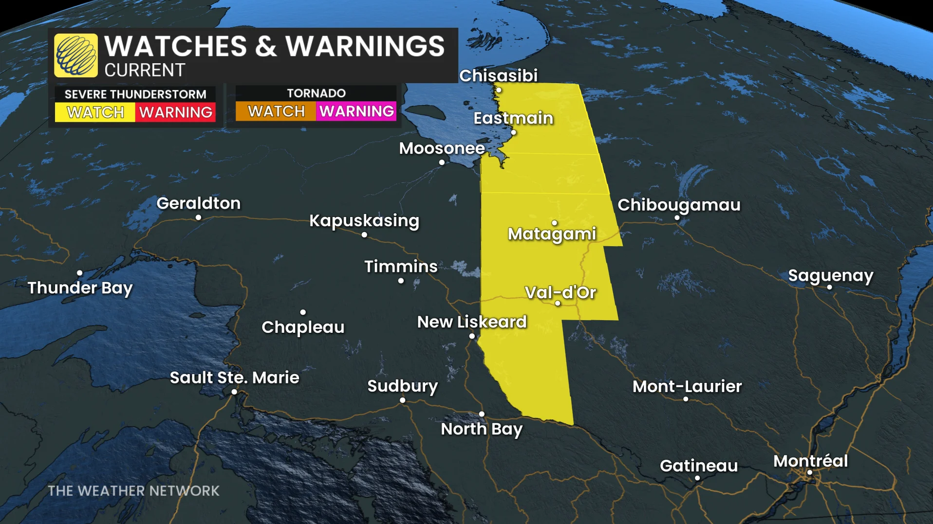
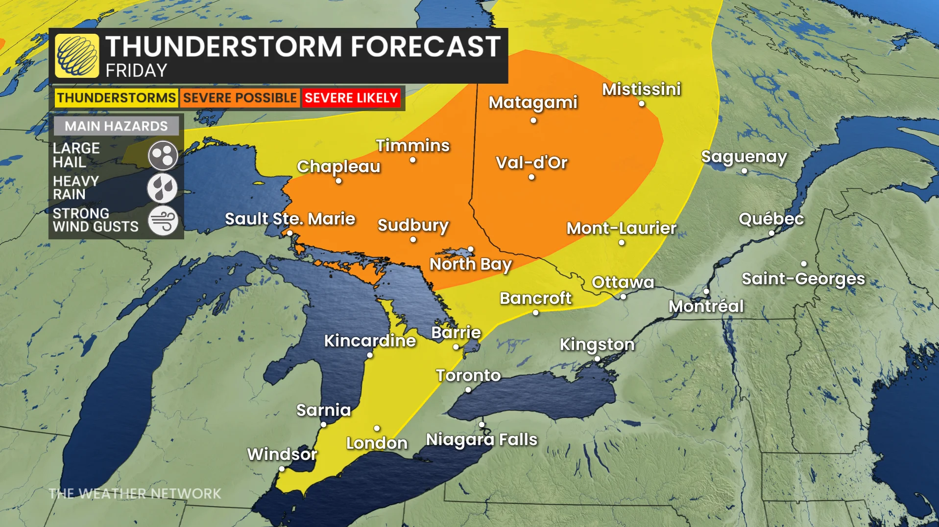
A cold front moving out of the northwest will bring severe thunderstorms to parts of northern Ontario and Quebec on Friday, with conditions getting more dangerous as the day progresses.
Some thunderstorms were already rumbling east of James Bay Friday morning, but forecasters predict them to intensify and advance southeast during the afternoon, becoming clusters and lines by the evening.
This could result in a more widespread threat of severe weather before the day is out.
While southern Ontario may get a few showers or thunder, no significant storms are forecast on Friday.
CHECK OUT: Camping? Here's how to safely and properly put out campfire
Storms fuelled by heat and moisture
The atmosphere will be full of energy to work with. Moisture levels capable of delivering more than 40 mm of rainfall, along with instability above 2,000 J/kg of CAPE, will feed storms capable of dumping heavy rain in a short period of time.
The most intense storms can also create strong wind gusts and hail ranging in size from small stones to quarters.
DON'T MISS: How to cool off and make your own AC with ice cubes
Smoke could return to the ground
Air quality is an additional concern. Strong thunderstorm winds may churn up the atmosphere, bringing wildfire smoke from higher elevations closer to the surface, potentially leading to poor air quality in some regions.
The severe weather threat will not end on Friday, either. As the cold front moves eastward, the risk is predicted to shift to southern Ontario and central Quebec on Saturday.
Stay with The Weather Network for the latest across Ontario and Quebec