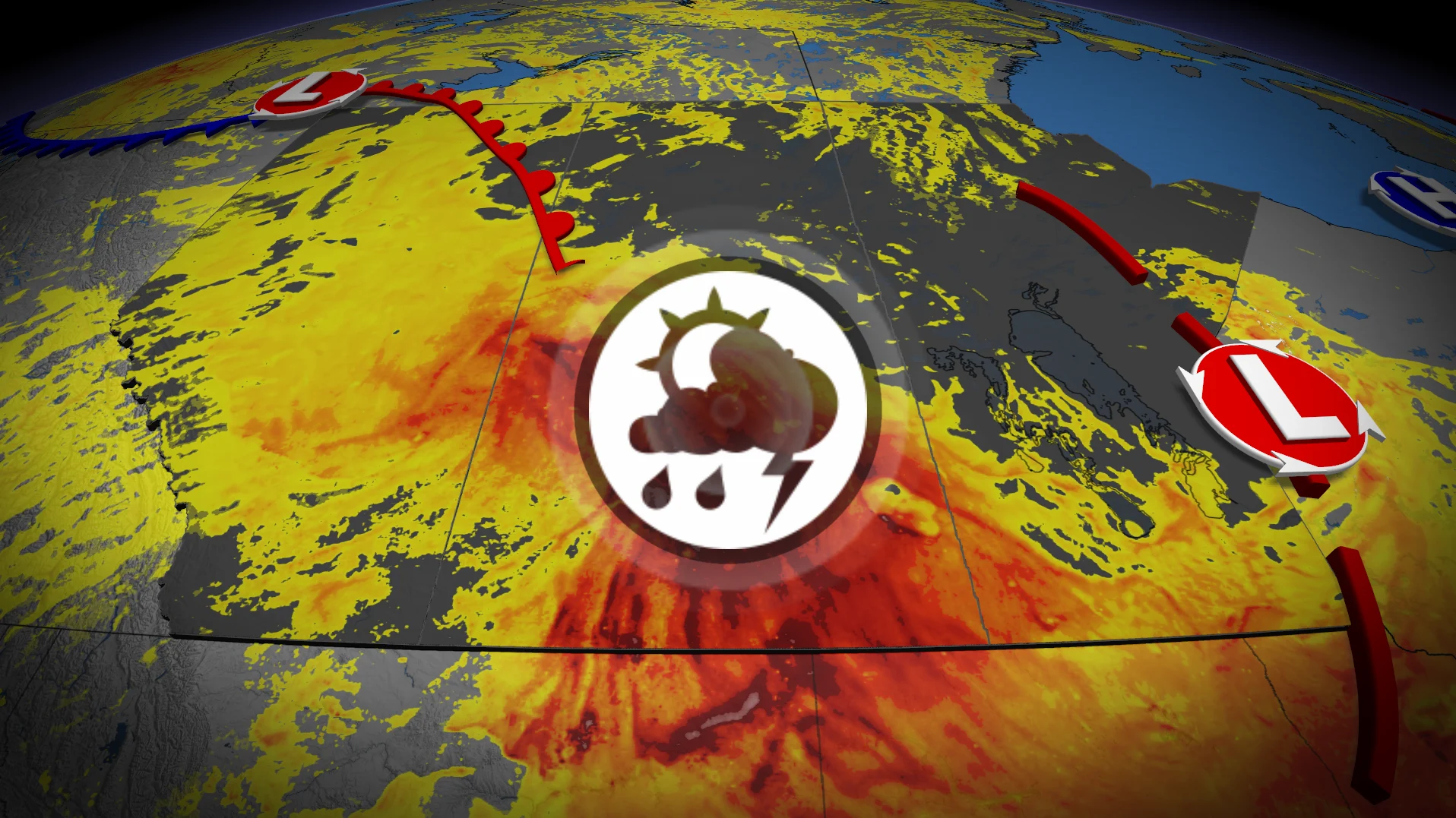
Severe storms on Friday a prelude to soaring weekend heat

An active couple of days will give way to rising temperatures across much of the Prairies heading into the weekend
An active pattern across the centre of the country produced several tornadoes this week. The same pattern will produce another round of severe weather on Friday.
Friday’s potential will decrease slightly compared to the past couple of days, but some dangerous storms are possible. Residents should closely monitor watches and warnings throughout the day.
DON’T MISS: Rapid El Niño may force the slowest hurricane season in years
Friday supercells are possible
The environment remains supportive for severe weather as we head into the end of the week across the Prairies.
Manitoba will largely miss out on Friday’s risk as the possibility for severe thunderstorms shifts back toward Alberta and Saskatchewan.
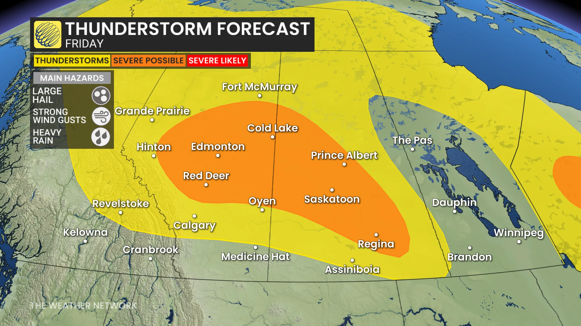
Models show storms developing throughout the evening hours, around the 6-9 p.m. timeframe. The main threats will be large hail and strong to destructive wind gusts.
Friday’s storm potential will affect some larger population centres, including Edmonton, Red Deer, Saskatoon, and Regina.
It’s worth noting that wildfire smoke drifting in from British Columbia may hamper storm development in Alberta.
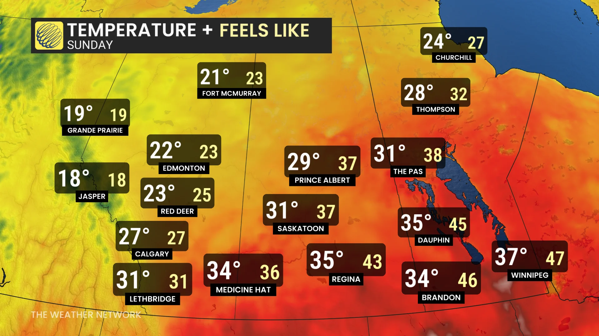
By this weekend, a heat dome building over the United States will begin to influence conditions over the southern Prairies. Temperatures will climb into the mid-30s with humidex values into the 40s on Saturday and Sunday.
This stateside ridge will shunt the active storm track up toward northern regions of Alberta, Saskatchewan, and into the Northwest Territories.
Stay with The Weather Network for all the latest on conditions across the Prairies.