Hot, humid weather fuels risk of severe thunderstorms in Ontario

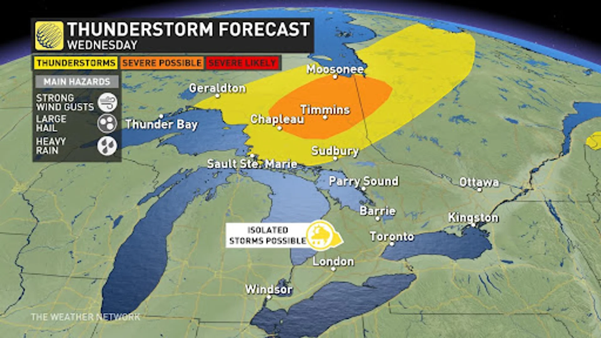
Isolated thunderstorms possible in southern Ontario Wednesday, but northeastern Ontario has widespread risk of severe storms
It's been quite the stretch of hot, muggy conditions in Ontario to start the week. The warm weather is set to continue and so will the risk of thunderstorms in various parts of the province Wednesday.
JULY OUTLOOK: A turbulent July promises smoke, storms, heat, and drought across Canada
Wednesday and beyond
Areas: Ontario
Timing: Wednesday afternoon and evening, Thursday
Weather: Isolated thunderstorms are possible in southern Ontario on Wednesday, but northeastern Ontario has a more widespread risk of storms with some even becoming severe in nature with strong wind gusts and large hail.
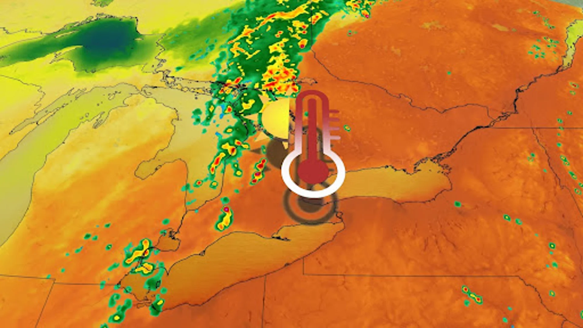
Temperature: Heat warnings span southern Ontario and Quebec, where unseasonably warm temperatures kick off July. Muggy weather builds Wednesday, where humidex values of 40s are possible for Ottawa, Montreal and much of southern Ontario too. Full sun and high moisture in the air under a weak ridge will assemble an uncomfortable midweek.

SEE ALSO: Why nocturnal thunderstorms can be particularly dangerous
Storm Potential: These same heat warning regions have a risk Wednesday for isolated thunderstorms fuelled by daytime heating, though stronger storms with heavy rain and gusty winds will begin to track across central Ontario.
The ridge will protect south and eastern regions of the province from these severe storms until the cold front moves in on Thursday, triggering active weather. Confidence is growing that Thursday could feature strong storms along Lake Huron and Georgian Bay shores, extending into the Greater Toronto Area, with very heavy rainfall in the cards. Be sure to check back with us ahead of Thursday as we nail down your forecast.

WATCH: Sunburnt? Here are five things you should never put on it
Stay tuned to The Weather Network for more forecast updates for Ontario and Quebec.