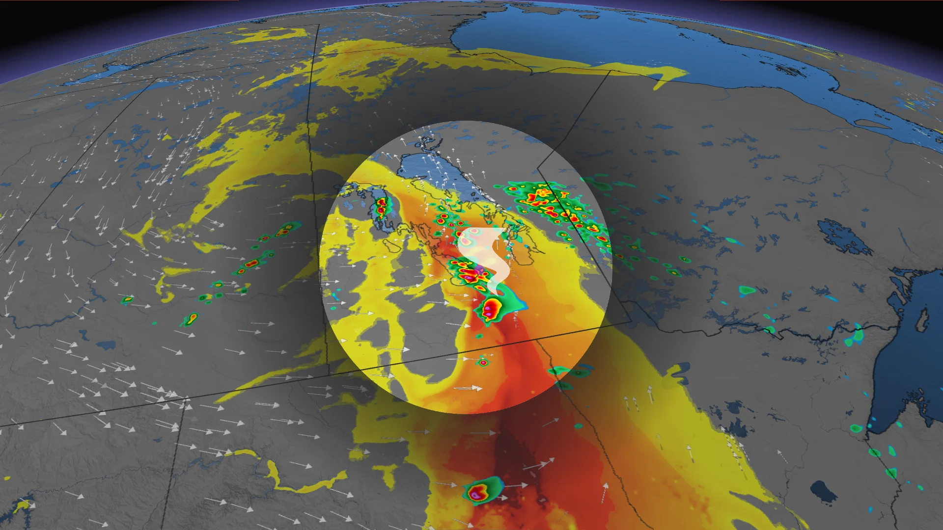
Tornado risk on the eastern Prairies Monday. Here's where

Southern Manitoba will be the main focus on Monday as conditions align for tornadic storm development.
This past weekend's storm risk may have been centred on Alberta and Saskatchewan, but the focus will shift east into Manitoba on Monday as forecasters track a low-pressure system that could trigger severe thunderstorms.
Southern Manitoba will be near the "triple point," where cold air, warm air, and an occluded front all intersect. This typically supports an environment for increased wind shear and low-level lift—the main ingredients for tornadic, severe weather.
SEE ALSO: Scud clouds are scary tornado lookalikes – how to tell them apart
Keep an eye out for local weather alerts and approaching storms on Monday evening and into the nighttime hours.
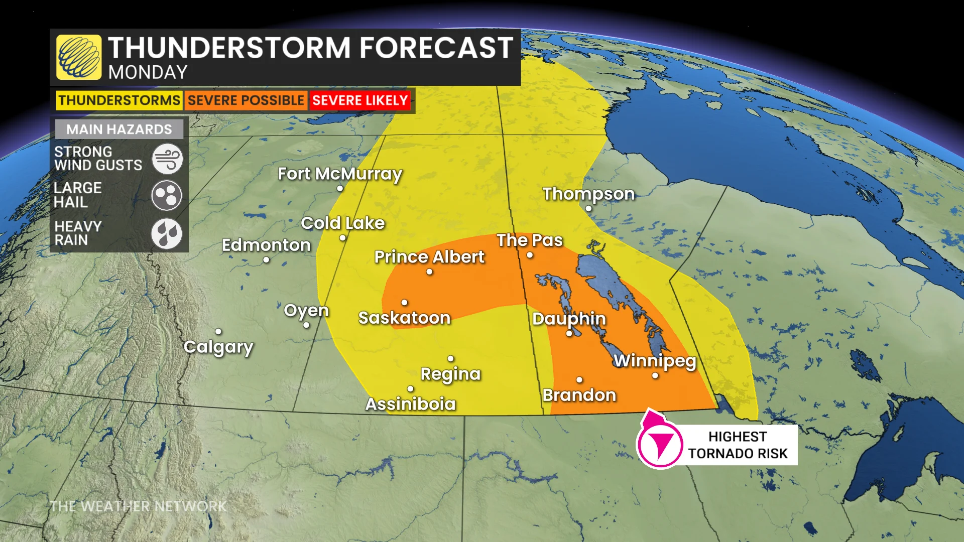
Severe storm threat builds in southern Manitoba late Monday
Behind the low's fronts, folks across southern Alberta and Saskatchewan will feel the winds pick up, with gusts of 40-60 km/h that may toss loose items.
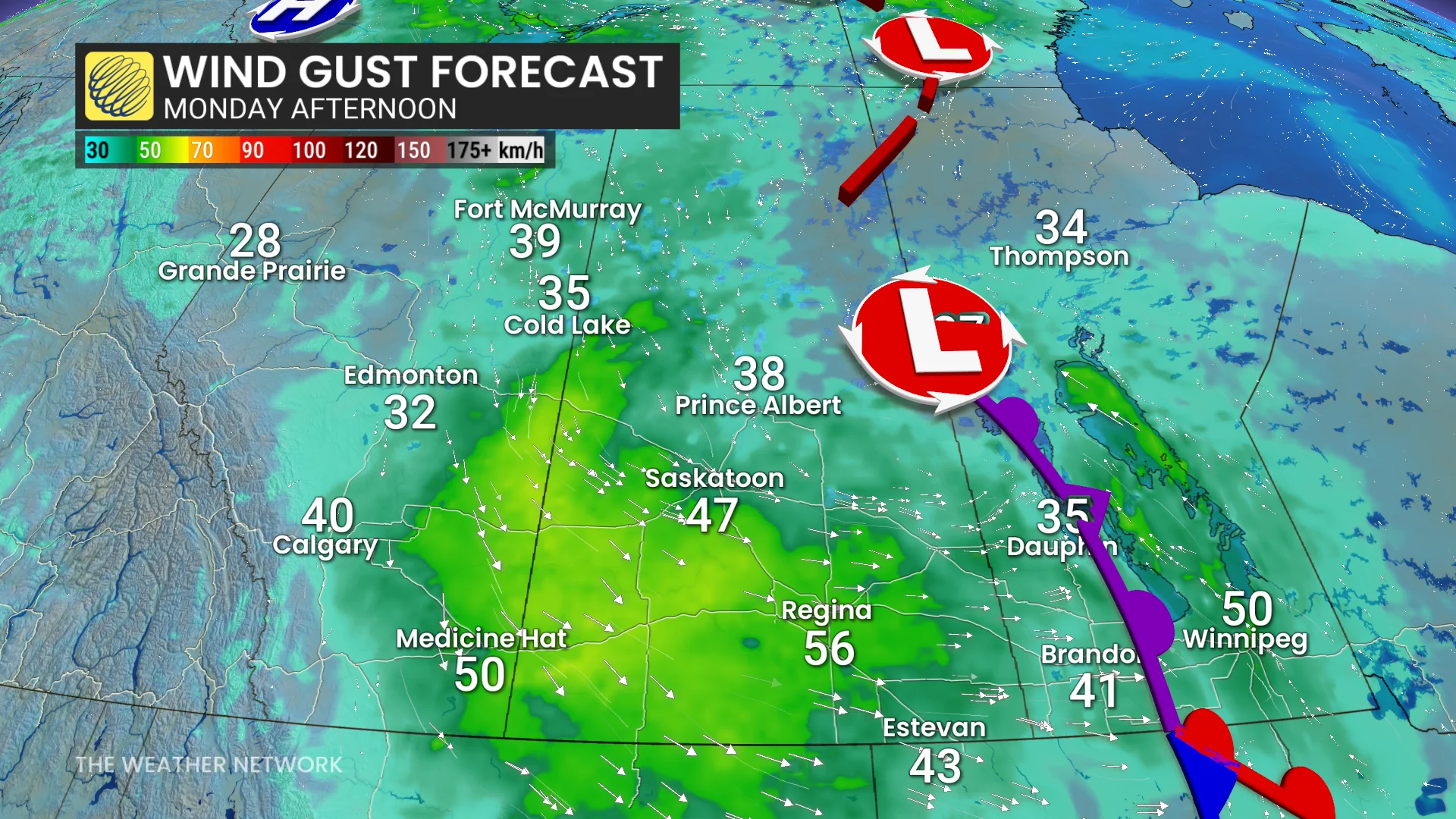
However, ahead of the fronts is where forecasters are paying the closest attention as a tornadic risk looms over southern Manitoba.
DON'T MISS: Rare hazard: This town saw an earthquake during a tornado warning
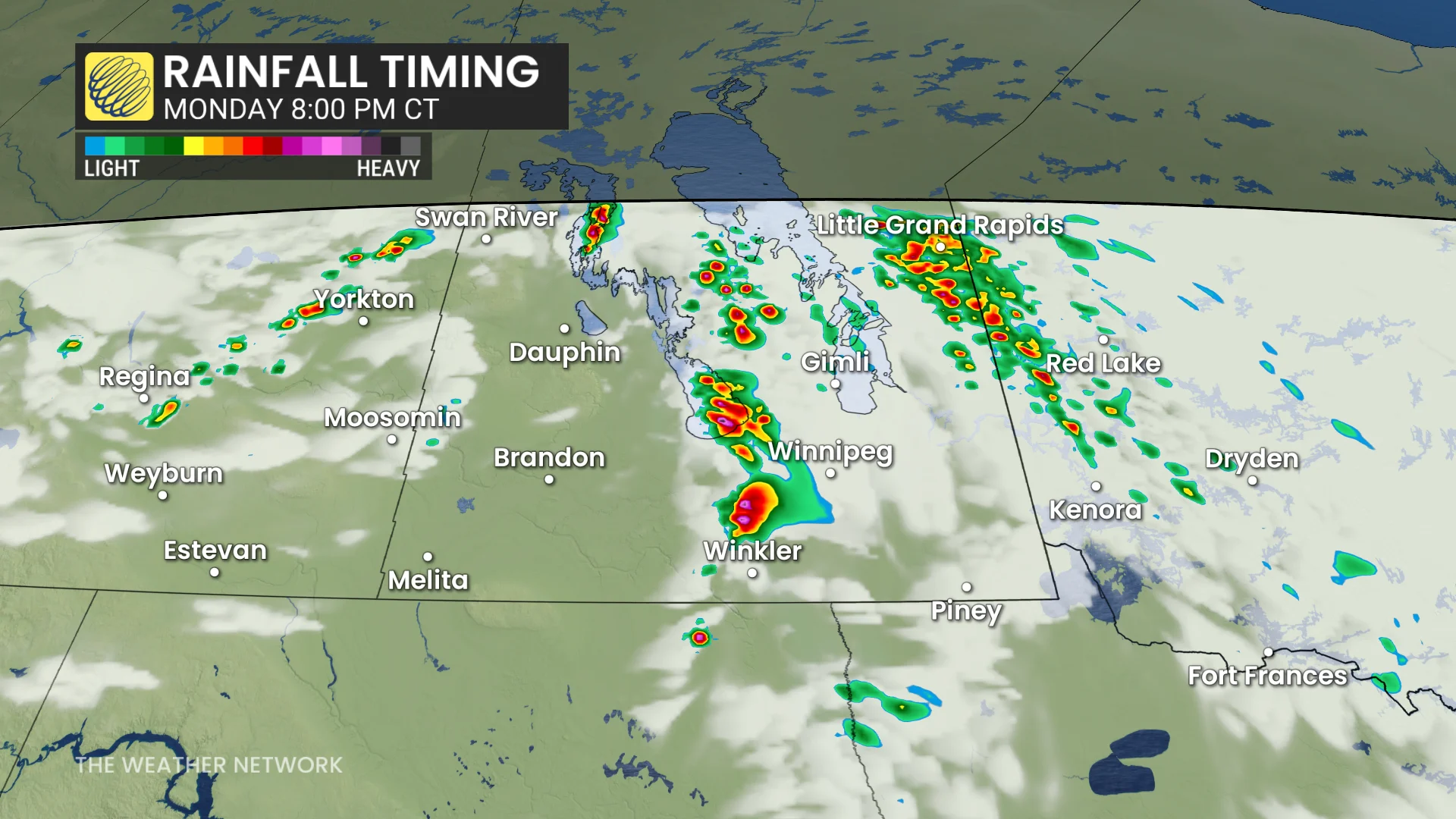
Severe storm activity is most likely between 6 and 11 p.m. CT.
The tornadic threat is forecast to cover areas from Portage La Prairie, Morden, Winkler, and along the Red River Valley to just west of Winnipeg.
Environment and Climate Change Canada has recently switched to a localized weather warning system, which means that if a warning is issued for your area, the storm threat is actually nearby and imminent.
Be sure to heed any alerts or warnings you receive, especially as this storm risk spills into the nighttime when visibility is decreased.
Keep up-to-date with The Weather Network about the latest forecasts and updates for your weather across the Prairies.