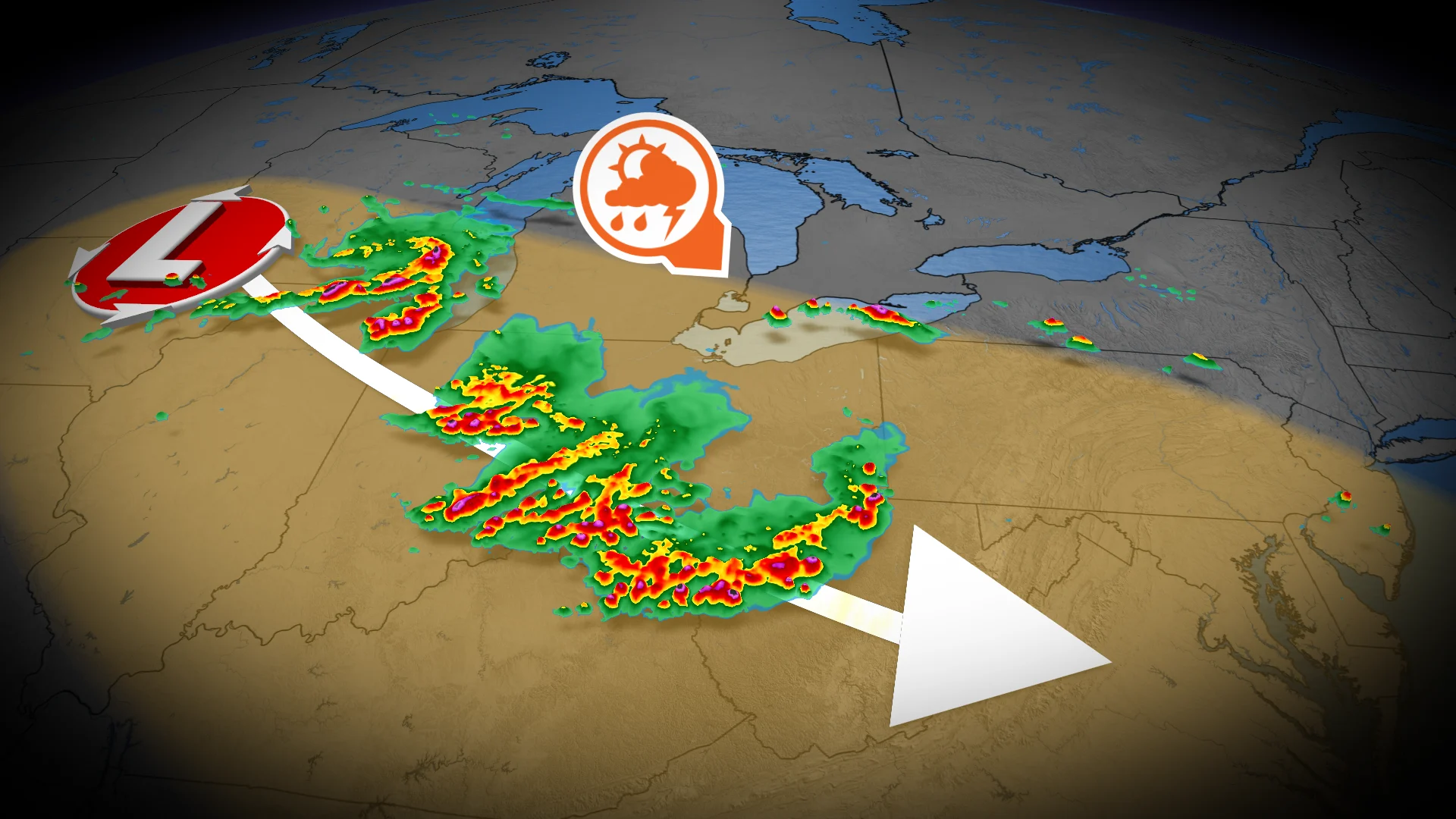
Severe storm threat slides into southwestern Ontario Tuesday

Severe stateside storms threaten to bring a glancing blow to the Windsor and Chatham-Kent area on Tuesday afternoon.
The forecast south of the border is looking complex on Tuesday, as forecasters watch for a threat of a series of mesoscale convective systems (MCS) to develop south of the Great Lakes. Part of these storms may even slip across the border and into southwestern Ontario, putting forecasters on alert.
An MCS is a long-lived and highly organized group of thunderstorms that can span hundreds of kilometers. These storms tend to be stronger in nature and can produce highly damaging winds.
SEE ALSO: Look up! This week's Perseid meteor shower peak could be the best in years
The stormy weather is expected to develop across the border late Tuesday morning near Lake Michigan and track east through the afternoon, where it'll meet moist, unstable air over the U.S. Midwest and southern Ontario. As the storms track into this unstable environment, they are expected to strengthen and organize.
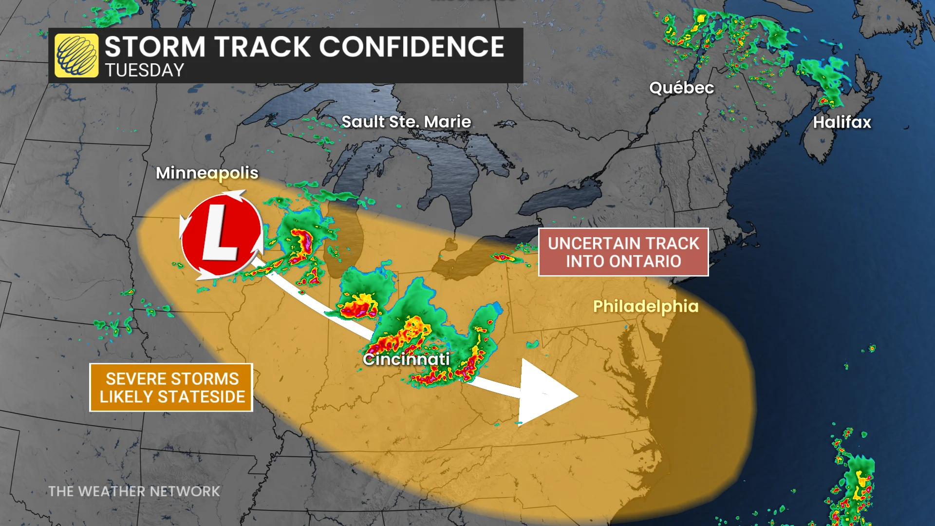
Forecasters are closely monitoring the situation as it develops through Tuesday morning and afternoon, as there is some uncertainty regarding whether we will see the strong storms clip southwestern Ontario.
Essentially, there are two outcomes we could see on Tuesday:
Scenario One: Severe weather remains south of the border.
Scenario Two: Severe weather grazes southwestern Ontario by the afternoon to early evening hours.
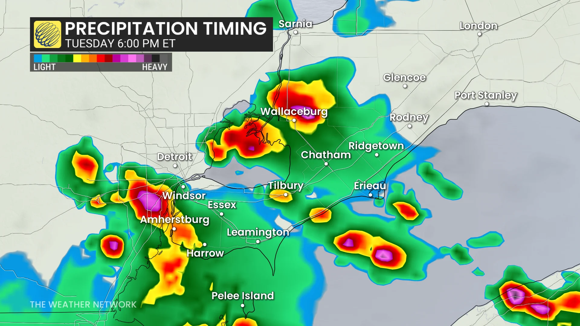
Upper-level smoke from wildfires will further add to the uncertainty, as it could suppress thunderstorm development and severity. However, if Scenario Two does pan out, the Windsor and Chatham-Kent area is at risk of torrential rain and damaging winds.
After Tuesday, luckily, we'll begin to see the muggy and hazy conditions over southern Ontario slowly move out. By Friday, a province-wide cooldown is expected to bring temperatures down to slightly below seasonal values.
Stay with The Weather Network for more information and updates on your forecast across Ontario.