Severe, rotating storm risk moves into Ontario amid summer heat
Stay alert for severe weather through Monday evening.
A risk for strong to severe thunderstorms will build across southern and central Ontario through the day Monday as a system pushes into the Great Lakes region.
Anyone with outdoor plans should keep a close eye on both the radar and local severe weather alerts. Beware the risk for lightning. If you’re close enough to hear thunder, you’re close enough to be struck by lightning.
DON’T MISS: Stuck in your car during a tornado? Here’s what you should do
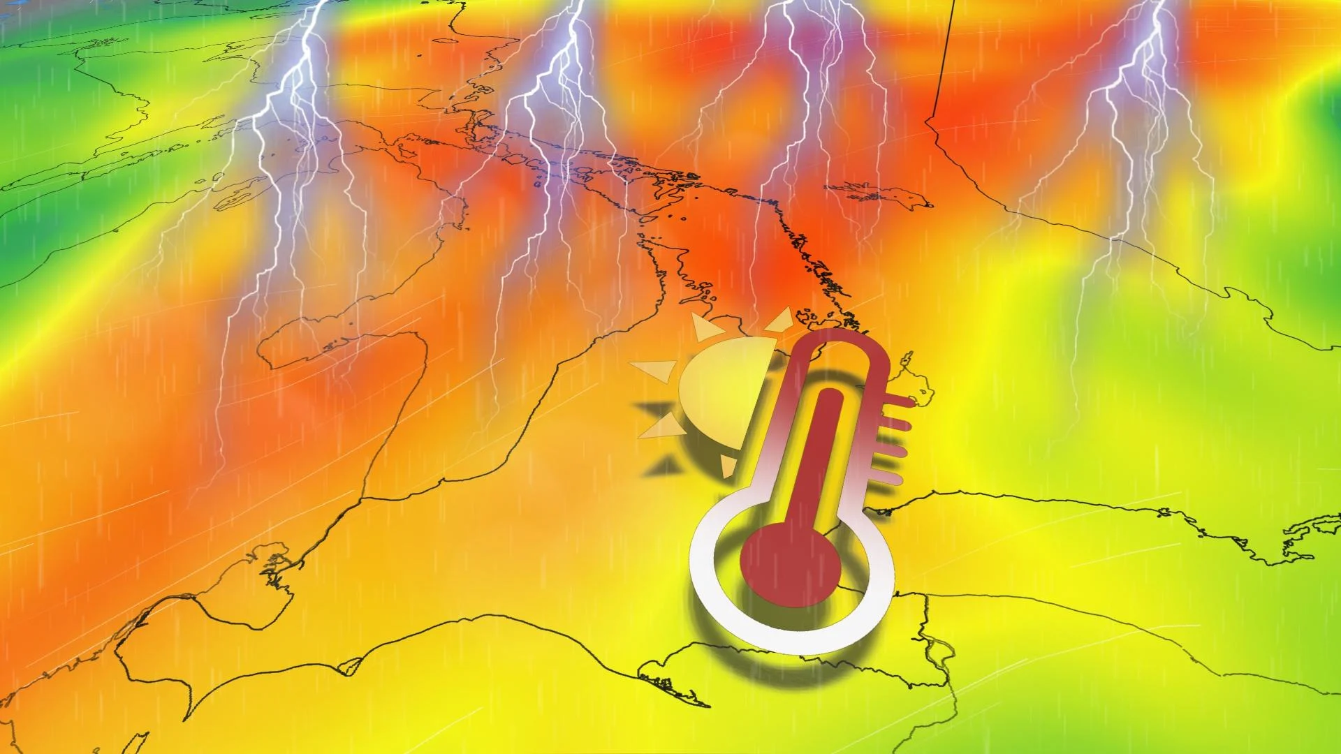
Summer-like heat builds a severe storm risk Monday
A warm front that passed through southern Ontario on Sunday night has left much of the region firmly under the influence of a summer-like pattern to start the week.
Monday will likely be the first 30-degree day of the year at Toronto’s Pearson Airport, though temperatures will fall off sharply closer to the lakefront.

A risk for thunderstorms will build from southwestern through central Ontario during the afternoon and evening hours on Monday as a cold front approaches the area.
Some of these storms could reach severe limits, including along the shores of Lake Huron and Georgian Bay, as well as throughout cottage country.
The strongest thunderstorms could produce strong wind gusts, large hail, and heavy rainfall. One or two tornadoes can’t be ruled out.

Another low-pressure system developing to the west will pump additional warm air into southern Ontario for our Tuesday, renewing the instability that could fuel a fresh round of thunderstorms.
Some storm activity is expected across southern Ontario later Tuesday evening and into the overnight hours as the cold front approaches. A marginal threat for severe weather exists, but forecaster confidence is low at this time.
Stay with The Weather Network for all the latest on conditions across Ontario.