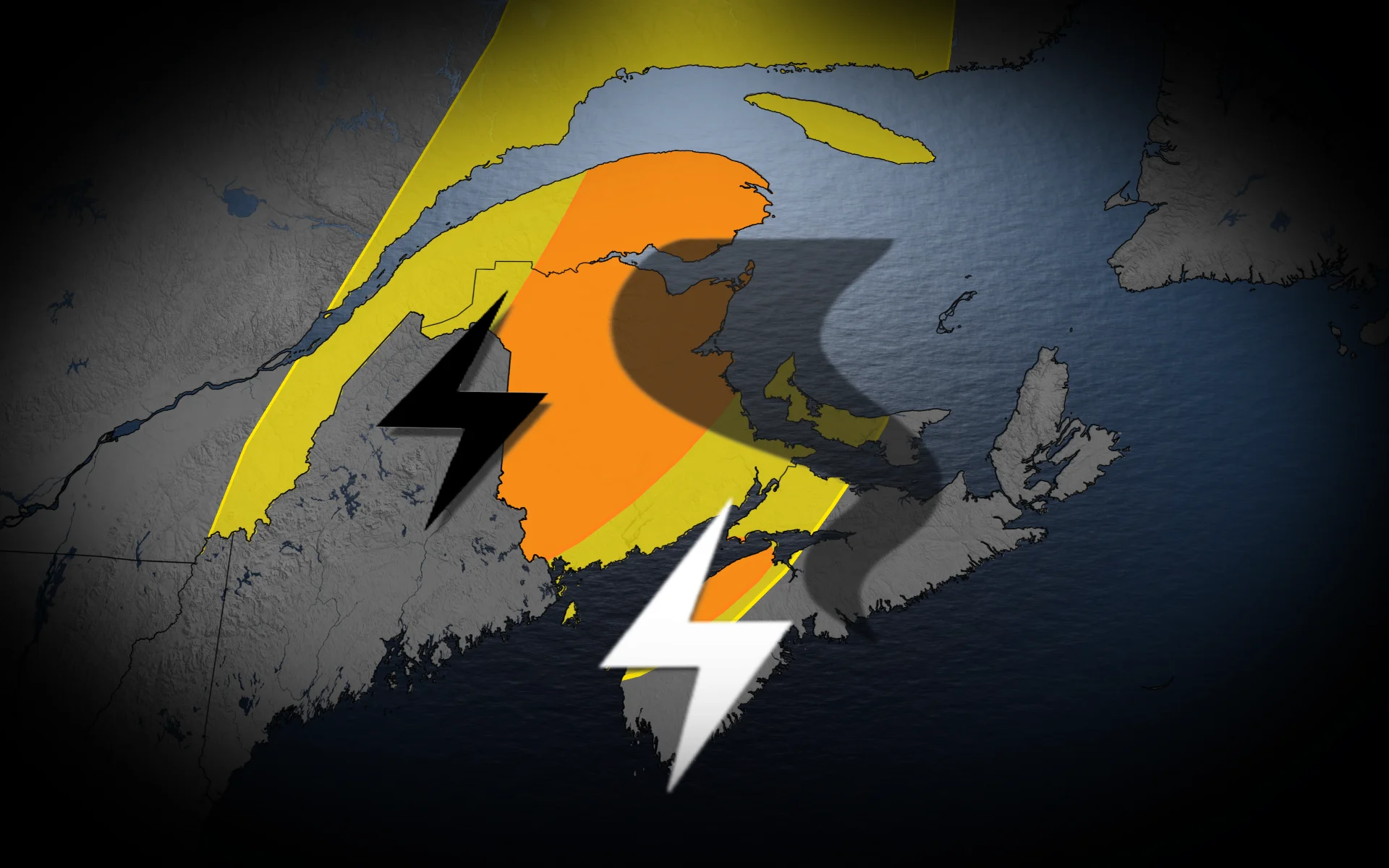
Severe, rotating storm risk builds Friday across New Brunswick

Expect high rainfall totals and possible flooding beneath Friday’s thunderstorms across much of New Brunswick
An active week rolls into Friday across parts of the Maritimes as a risk for severe thunderstorms builds for some communities.
Folks across much of New Brunswick and the Gaspé Peninsula will experience the bulk of the unsettled weather to end the week.
Stay alert for rapidly changing conditions and keep an eye on watches and warnings in your area.
DON’T MISS: First tornado in nearly 20 years confirmed in Prince Edward Island
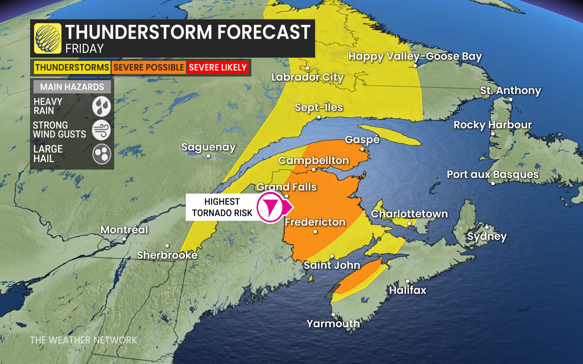
Friday thunderstorm risk rises in the Maritimes
A potent cold front will slide through the Gaspé Peninsula and New Brunswick during the day Friday, providing the spark needed for widespread thunderstorms to develop in the unstable environment.
Initial storm development is expected in southern New Brunswick by the early afternoon, affecting Fredericton later in the day. These strong to severe storms will track northeast through the evening, and some may continue past sundown into the overnight hours.
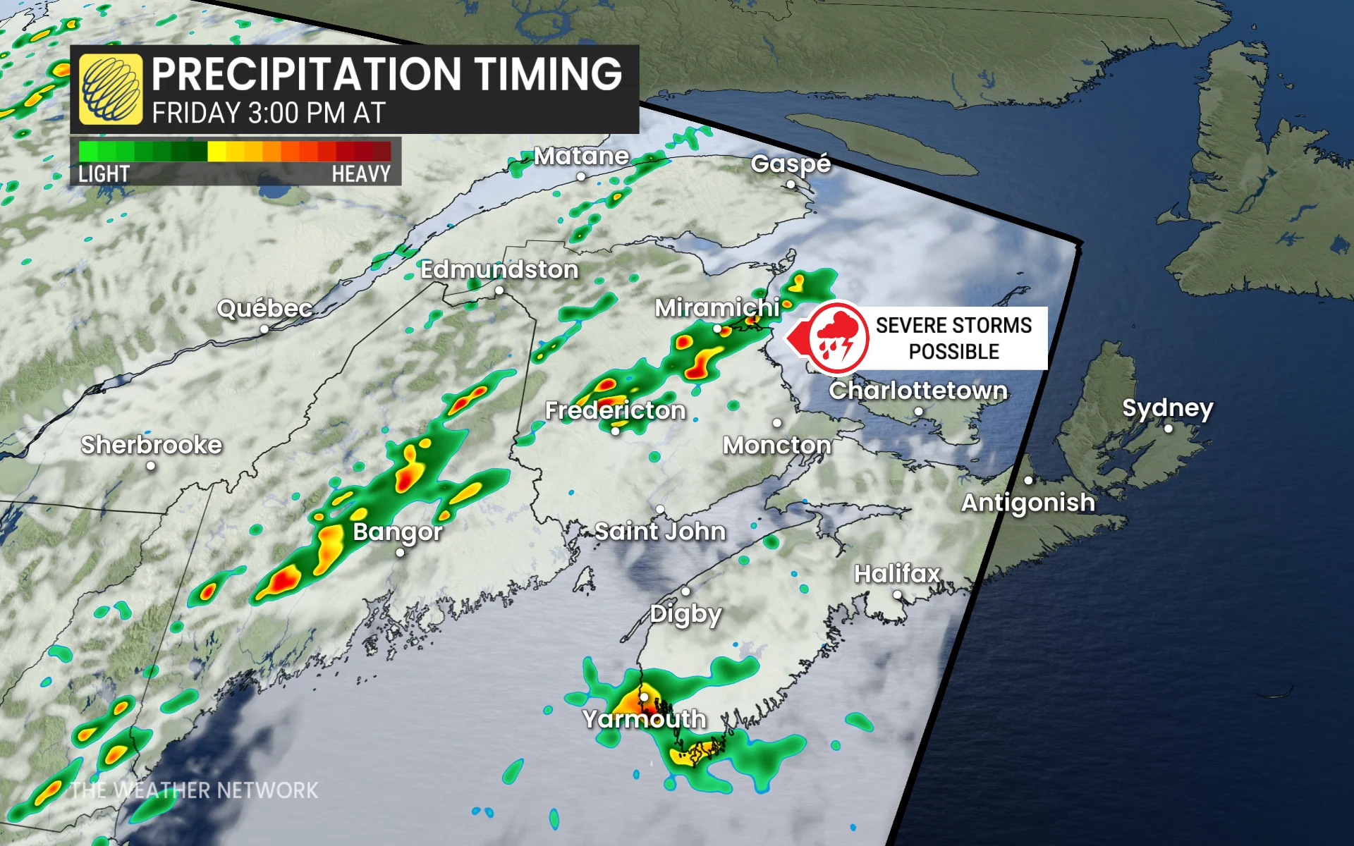
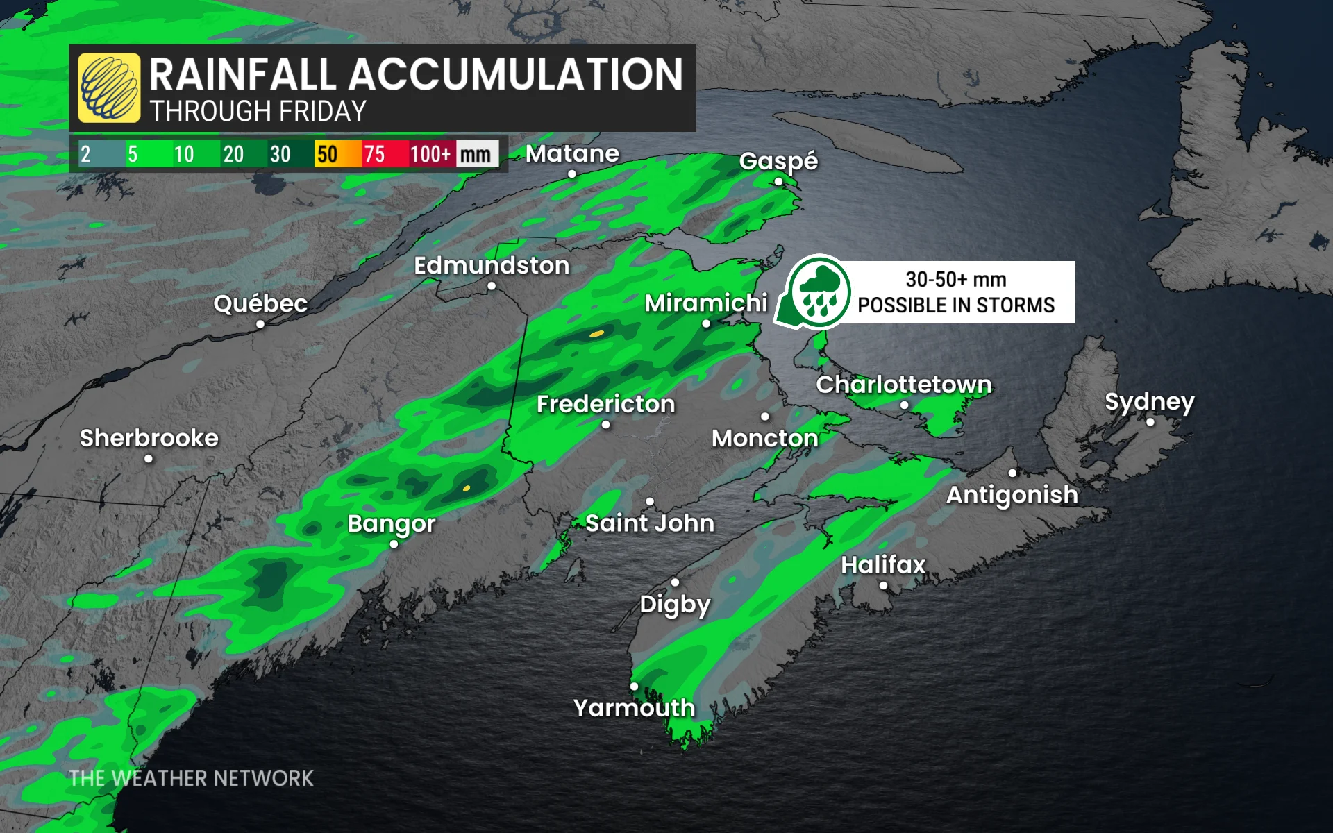
Large hail and strong wind gusts will be the primary threat in Friday’s most intense storms. Some areas may see several rounds of thunderstorms, leading to high rainfall totals and the potential for localized flooding.
There is a chance some of the storms could be rotating as they cross the border from Maine into New Brunswick, making the chance for an isolated tornado non-zero.
Looking ahead to next week, folks throughout the Maritimes can expect near-seasonal temperatures alongside an active pattern that will see several systems affect the region.
Stay with The Weather Network for all the latest on conditions across the Maritimes.