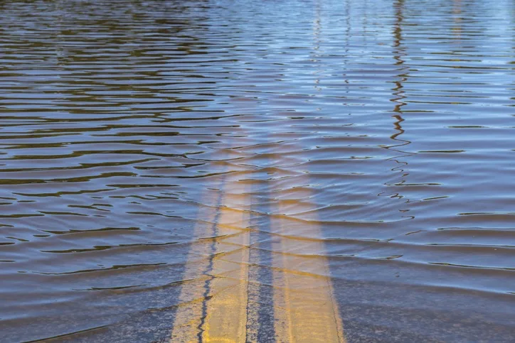
Several B.C. regions at risk of spring flooding

Forecasters are predicting an elevated flood risk for parts of B.C.
The data is in.
Information harvested from more than a hundred manual snow courses and six dozen snow weather stations across B.C. suggests several regions are at risk of spring flooding.
According to Dave Campbell, head of the B.C. River Forecast Centre, the likelihood of spring flooding increases with high snowpacks and, flood risk is highest when snow basin index values approach or exceed 120 per cent -- which is what forecasters are observing in multiple regions, including the Okanagan, and in the Kettle River and the South Thompson River.
By early February, nearly two-thirds of B.C.'s annual snowpack has typically accumulated, and high levels are emerging in several regions, but seasonal flood risks can still shift, due to forecast uncertainty.
Unexpected snowfall, for example, could elevate the flood risk even more.
But if the forecast holds up, Campbell says 2020 water levels could be higher than usual, but not unlike previous years.
For example, Campbell says 2018 was a big year for flooding in the Okanagan and the kettle.
Still, the conditions observed in 2018 and what may be seen in 2020 are only typically recorded once every ten to twenty years.
The forecast centre is expected to provide an updated outlook in early March.