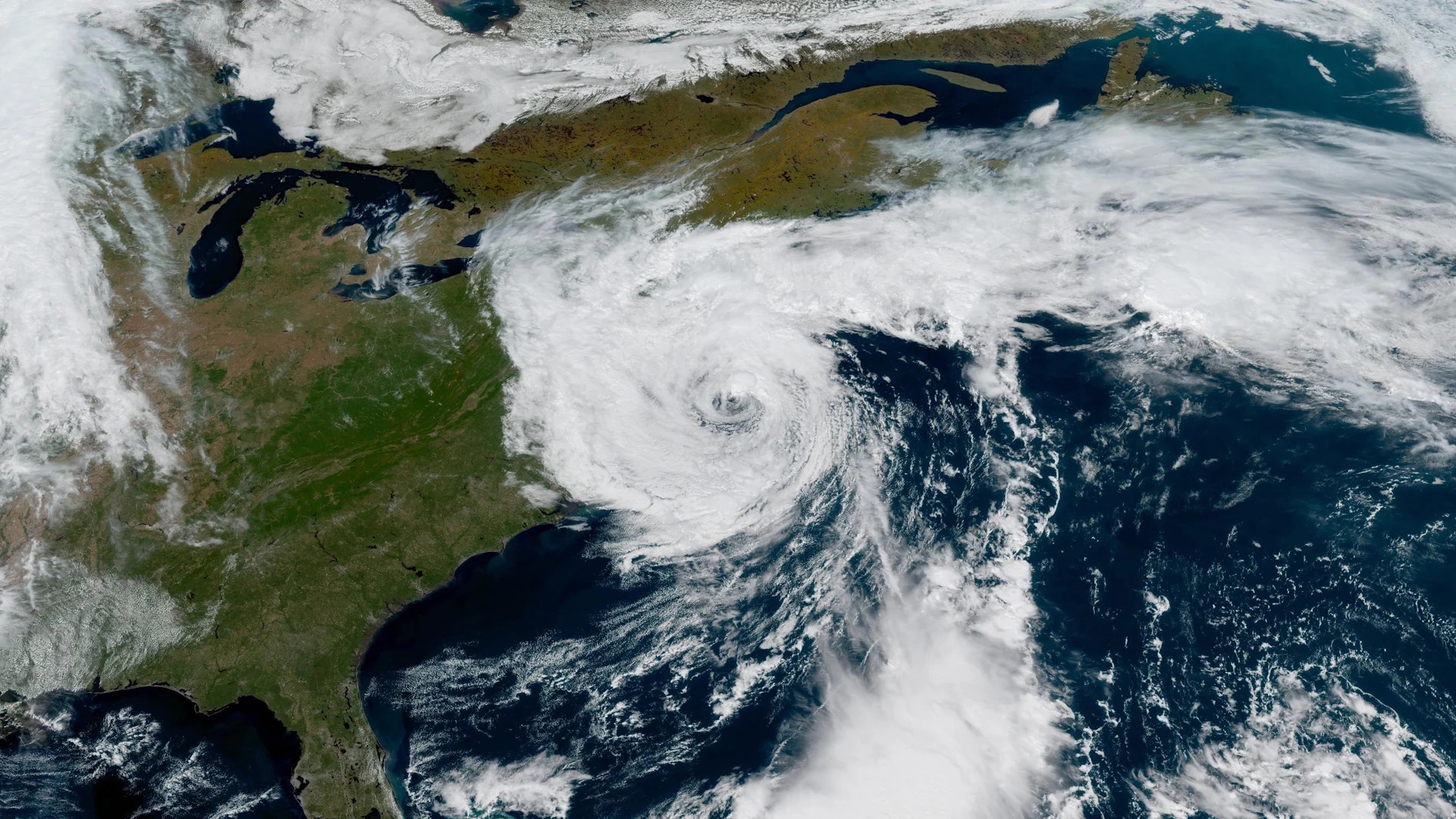
See this stunning, powerful nor’easter captured from space

The nor’easter resembled a hurricane as it brought high winds and coastal flooding to the U.S. East Coast
An unusually early and powerful nor’easter looked absolutely stunning from space as it rolled up the U.S. East Coast this weekend.
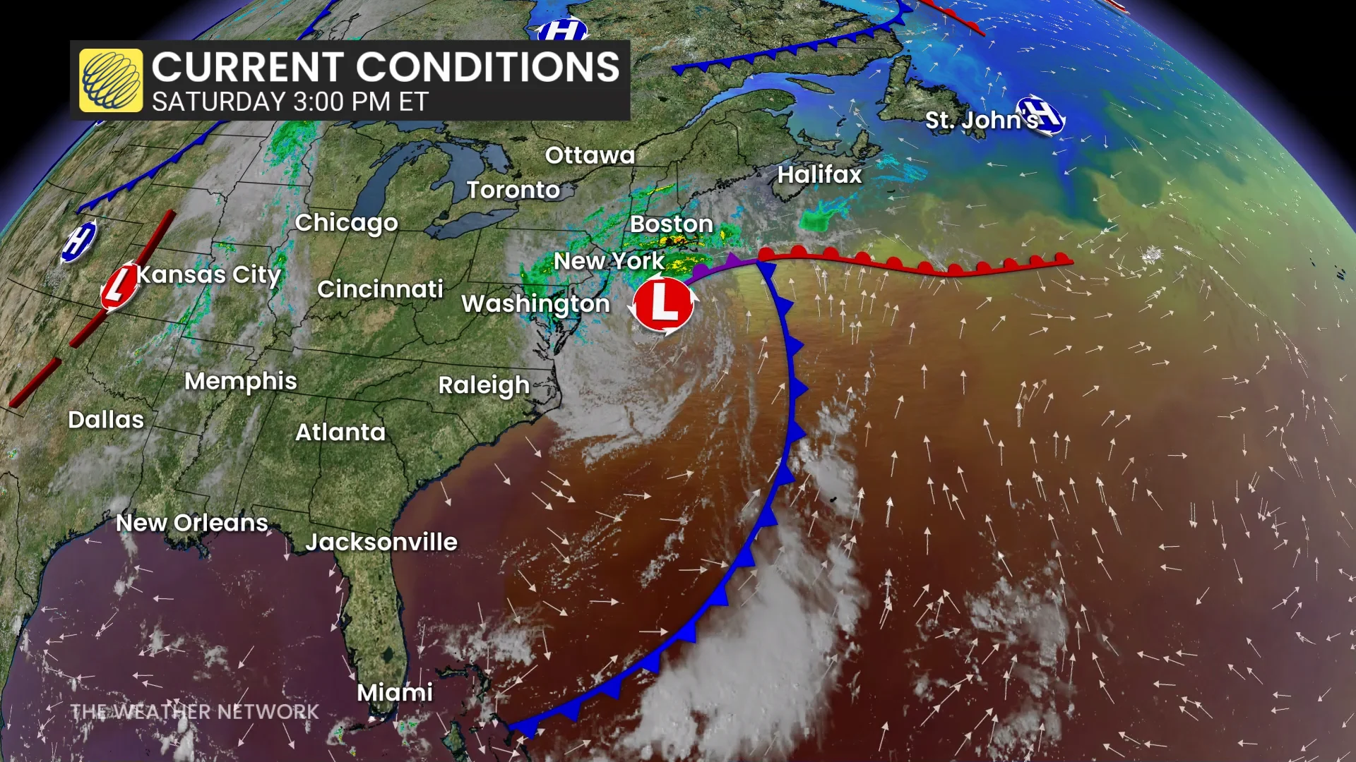
The impactful system continues to produce gusty winds and heavy rainfall from Philadelphia to Halifax, with some areas experiencing a significant storm surge.
DON’T MISS: The strongest nor’easters are getting even stronger, study finds
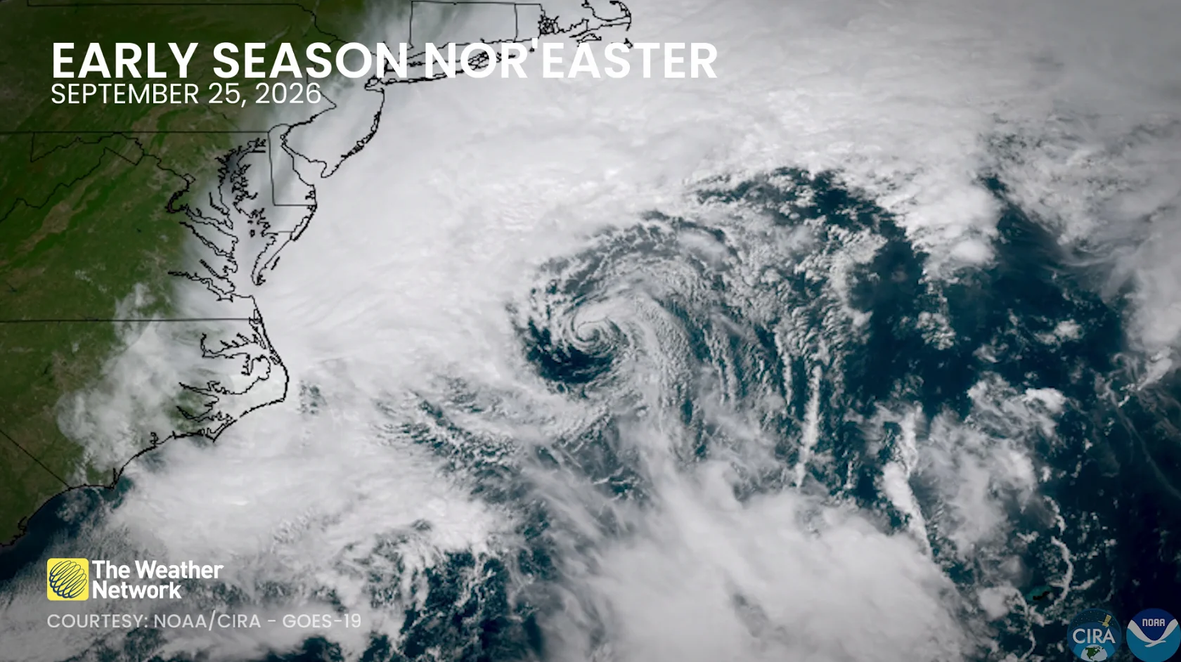
Satellites captured remarkable imagery of the nor’easter as it developed and strengthened off the eastern seaboard on Friday and Saturday.
We had a vivid view of the tight, exposed centre of the low-pressure system during the day Friday as the system ramped up in a hurry. Low-level cumulus clouds traced intricate details of the wind pattern as they swirled around the storm.
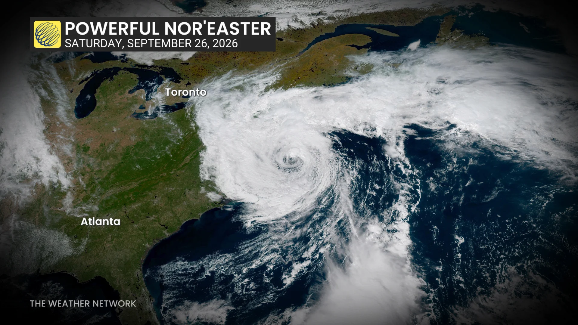
Saturday brought an even more remarkable sight as the system reached its peak intensity.
Daylight revealed a large, swirling low-pressure system almost completely surrounded by crystal-clear skies. Bands of clouds and rain spiralled around the low-pressure system. A clearing near the centre of the low bore a striking resemblance to the eye of a hurricane.
Not a hurricane, despite the resemblance
Classic nor’easters are examples of extratropical cyclones. These lows feature cold air throughout the core of the storm. Though warm waters can help give them a boost, they draw most of their energy from powerful upper-level winds.
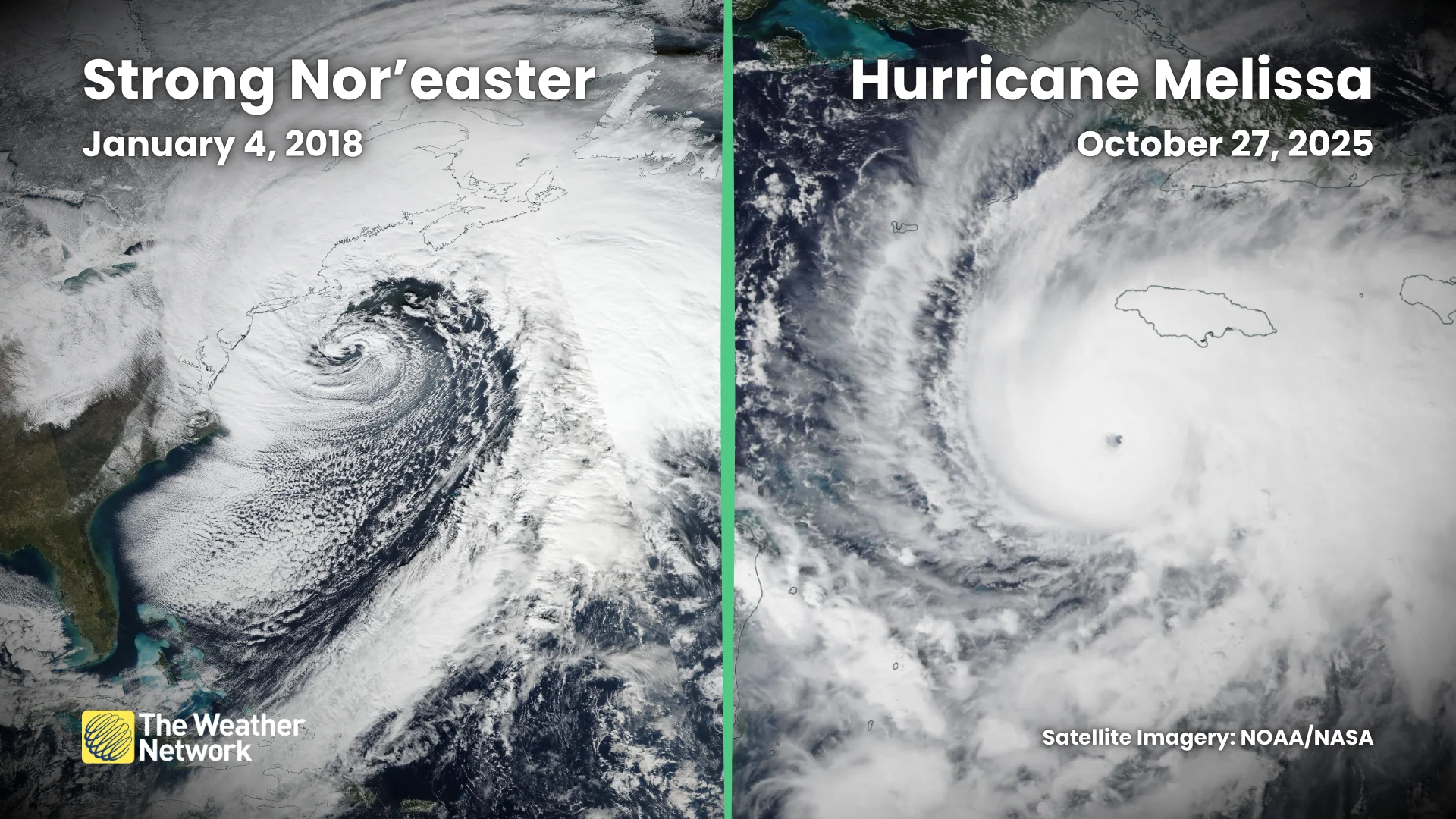
Hurricanes, on the other hand, are warm-core systems that gather energy from tightly packed thunderstorms wrapped around the centre of the low.
Low-pressure systems can exist on a spectrum, though, and they don’t always fit neatly into the “tropical” or “extratropical” boxes. Some nor’easters can cross the spectrum and acquire some tropical-like characteristics.
Major impacts up and down the coast
Regardless of what you call it, the size and power of nor’easters can lead to significant impacts for communities in the storm’s path.
RELATED: Staying safe from flash floods, a serious and deadly hazard
Winds have gusted as high as 100 km/h in places like Nantucket and Martha’s Vineyard. Flights into and out of New York’s JFK Airport had to battle gusts up to 90 km/h. As many as 100,000 customers were reportedly without power on Saturday afternoon.
The strong, persistent onshore winds led to widespread coastal flooding. This storm surge reached as much as 1 metre (3.5 feet) above normal tide levels in some areas. Several roads were damaged or washed out on North Carolina’s Outer Banks.
Rainfall totals of 100 mm (4 inches) or greater were expected by the end of the storm on Tuesday.