Flood concerns rise in B.C. amid escalating warmth

The year’s warmest air for B.C. will arrive this week, setting off a significant snowmelt that will raise the flood threat for vulnerable areas
Spring is in full bloom across British Columbia as we round out April. Forecasters are confident that the year’s warmest temperatures are on the horizon throughout B.C. in the coming week.
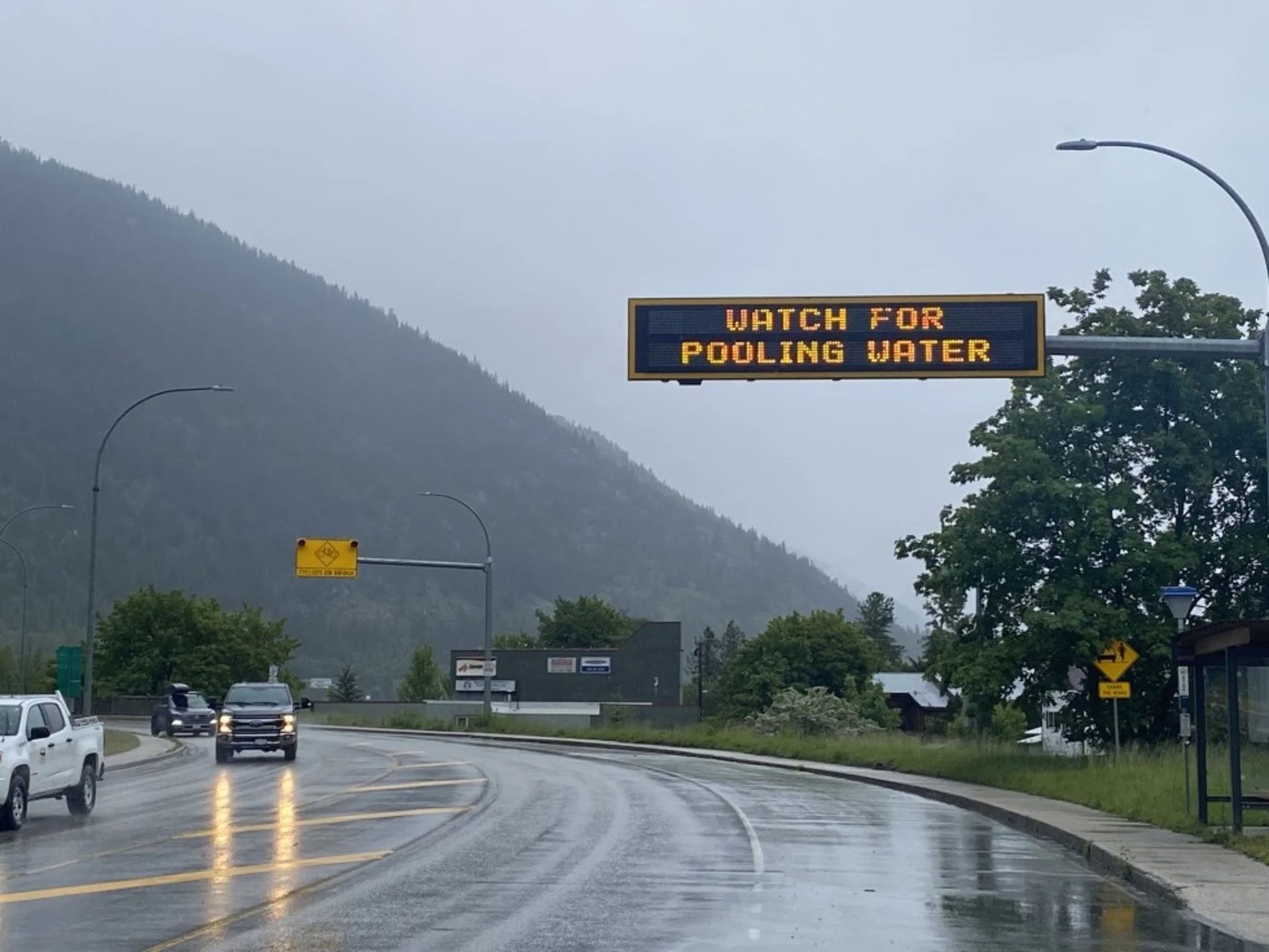
Rising temperatures are a two-sided ordeal this time of year, unfortunately. The arrival of comfort after months of gloom and chill heralds the onset of the annual snowmelt, which could lead to a significant flood threat for spots in the coming days and weeks.
DON’T MISS: Bug bites and rashes got you down? Here are 8 remedies
B.C. is on the cusp of recording its first 20-degree reading this year—and we’re on track to soar past that milestone across interior parts of the South Coast, where temperatures could climb into the upper 20s for a few days.

A building ridge of high pressure is responsible for the imminent warmth. It’s a welcome change, for sure, after so many weeks of below-seasonal temperatures across the region.
This will be the first significant stretch of above-seasonal temperatures we’ve seen since January. Friday will likely be the peak for temperatures, with widespread 20s forecast along the South Coast and through the Okanagan.
Flood risk rises with the temperatures
The season’s first warmup always comes with its own set of challenges in this part of the world.

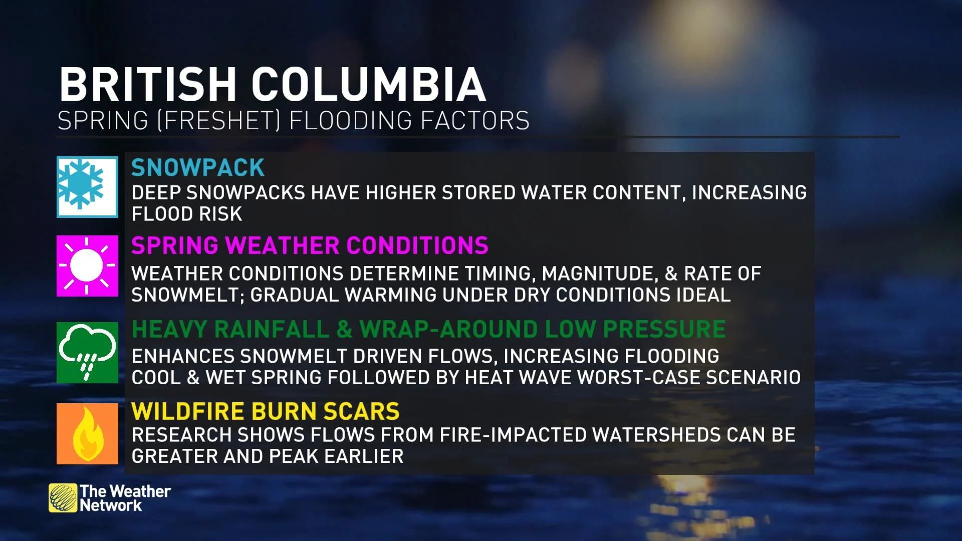
Warming temperatures well into the mountains will raise the risk for flooding as the snowpack finally begins to melt.
Freezing levels will likely reach 3800 metres by the weekend, triggering significant snowmelt and initiating the spring freshet.
WATCH: Not being flood ready is costing Canadians, what to do if it happens to you
Check back for the latest on conditions across British Columbia.