Runaway February thaw threatens records across Ontario

Although the past few Februarys have not featured warmth quite as extreme, 2023 looks to deliver temperatures back into the teens in southern Ontario
After the first few days of February featured the bout of severe cold, most of southern Ontario has remained above the freezing mark since then.
Toronto snowfall is playing catchup again, lagging behind the historical normal, but the focus over the next seven days will be extreme warmth.
SEE ALSO: East Coast storm risk hinges on 4,000 km front from the Avalon to Cancun
All-time February records were broken in 2016, again in 2017, and then challenged once more in 2018. Although the past few Februarys have not featured warmth quite as extreme, 2023 looks to deliver temperatures back into the teens.

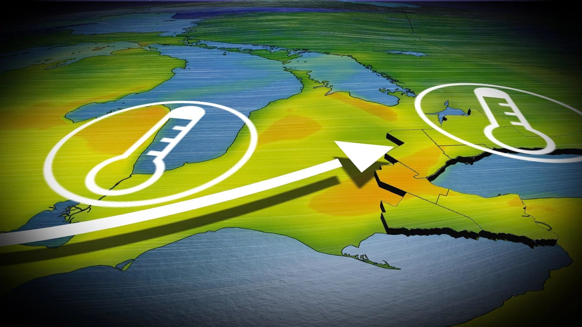
There's already a mild influx of warmer-than-normal temperatures from the Pacific and the Prairies, and this warmth pulses across Ontario over the next few days. Our first dance with warmth occurs on Wednesday, as a low slides across northeast Ontario. A stout southwest wind will drive temperatures into the low-teens across extreme southwestern Ontario. If we get some sunny breaks in the afternoon, temperatures may over-achieve.
High temperatures in the teens are more typical of temperatures experienced in April, and this time of year, the warm air is scooped up ahead of a Texas low that moves in by Thursday.
The timing of the warmest air is unlikely to coincide with peak daytime heating, so we’ll likely avoid most all-time February records on Thursday.

The pattern will eventually flip and cold air will return to the Great Lakes by next weekend.
In fact, by Thursday night into early Friday morning (Feb. 17), across the province, there is anticipated to be a more than 50-degree temperature range from extreme northwestern Ontario compared to a select few stations east along Highway 401.


