Rude wake-up call: Ontario sees impressive spring lake-effect setup

Spring is only a week old and already parts of Ontario are seeing an impressive setup for lake-effect snow -- a structure that could trump anything seen during this past winter.
The end of March is around the corner, but it isn't going out like a lamb in southern Ontario.
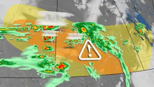
We are seeing stubborn lake-effect snow squalls with one of the "best northwest wind setups for big snowfall totals" in parts of the snowbelt regions during the winter, and reluctantly, spring (so far), according to Chris Scott, The Weather Network's chief meteorologist.
The reason for the prolonged period and potency of the lake-effect snow? The winds remain locked in the northwesterly flow, meaning the bands won't meander as much, limited lake ice and ice cold temperatures aloft that are maximizing the instability.
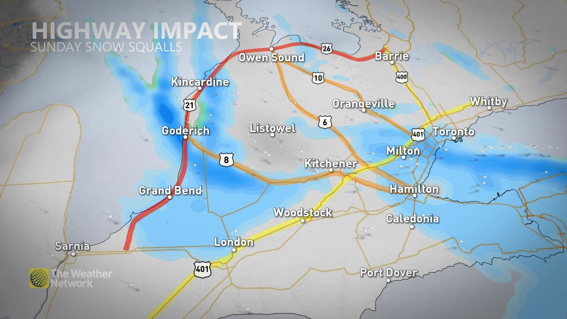
The greatest impacts of the squalls are expected along and near the Huron shores, where treacherous driving conditions are expected to continue at times right through until Monday.
Through Monday, 10-20+ cm of snow is anticipated in the hardest-hit areas, especially near the shores of Lake Huron where the bands could overachieve. Southern shores of Georgian Bay could see similar totals.
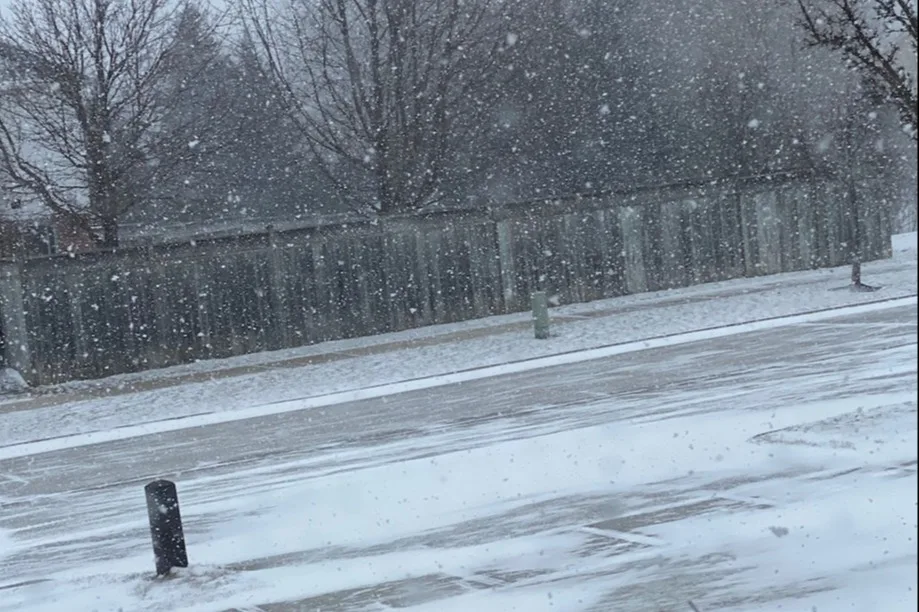
It didn't take long for residents in some of Ontario's snowbelt regions to post their photos and reactions on social media. Below is a collection of what is currently circulating.
Thumbnail courtesy of @1Weathercanada/Twitter, taken in Kitchener, Ont., on March 27, 2022.