Swath of heavy snow will bring treacherous travel in southern Alberta
Prepare for quickly changing and deteriorating travel conditions Wednesday if you will be out on the roads. Heavy snow will continue to make its way across southern Alberta, bringing up to 35 cm for some areas
Winter is certainly making a name for itself in Alberta in recent days and weeks, bringing dangerous, record-breaking cold, and now, some significant snowfall as the frigid temperatures ease up.
Visit our Complete Guide to Winter for an in-depth look at the Winter Forecast, tips to plan for it and much more!
By the time all is said and done, up 35 cm of snow could accumulate in some of the hardest-hit areas, with Calgary somewhere in the middle –– 10-20 cm.
Be prepared to adjust your driving with changing road conditions. If visibility is reduced while driving, turn on your lights and maintain a safe following distance.
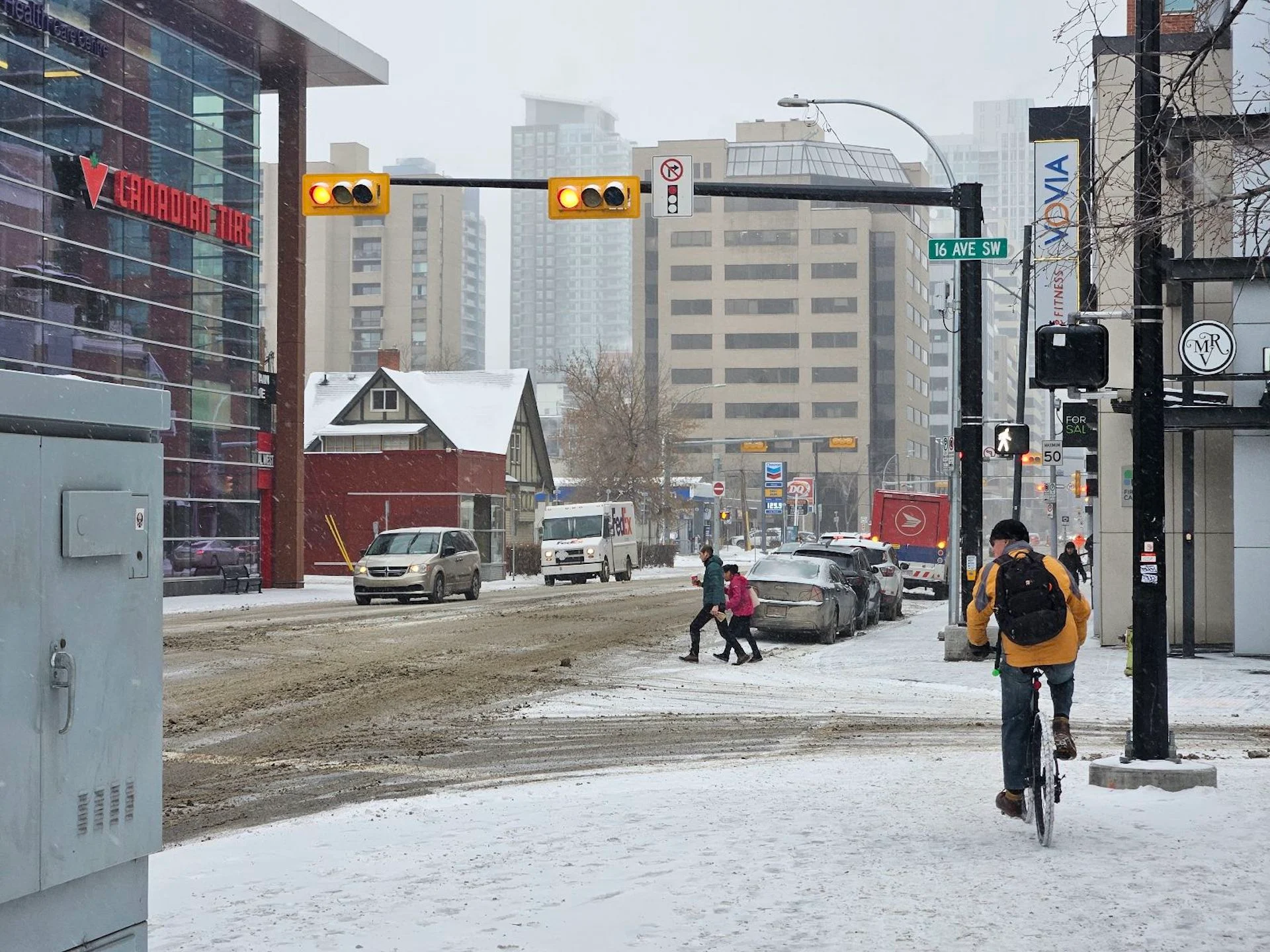
Travel on Wednesday, south of Calgary, in particular, is not recommended.
Into Wednesday
A front from northern B.C. tracked into Alberta and brought snow to Edmonton earlier on Tuesday. Near the end of this system, the coastal low from B.C. will track into southern Alberta, adding to the snowfall accumulations.

Snow will push south, moving into Calgary continuing through Wednesday evening. Snowfall could be light to moderate for the evening commute, which could slow things down, so expect a longer drive in the evening.
Areas south including Claresholm, Lethbridge and Pincher Creek will see some of the heaviest snow, with upwards to 35 cm over the 24-30-hour period. Snowfall may pick up in intensity as the low slides south through Montana on Wednesday evening.

The snowfall will be the light and fluffy variety, thanks to the very bitter cold temperatures. Therefore, expect it to rapidly accumulate and drift along the roadways with ease. Travel Wednesday south of Calgary will take require care and caution.
Luckily, wind gusts are rather light, so visibility will be reduced but won’t be zero. Conditions improve Thursday as the system exits the province.
Drivers are urged to plan ahead, and to adapt to the changing road conditions as the snow begins to pick up.

The record-shattering and bitterly cold temperatures will slowly begin to rebound, warming by nearly 40 degrees over the week, pushing Western Canada out of this brutal deep freeze.
However, a couple of Arctic highs will track across northern areas with frigid temperatures early next week, and then again later in the week.
Stay with The Weather Network for more forecast information and updates for your weather across Alberta