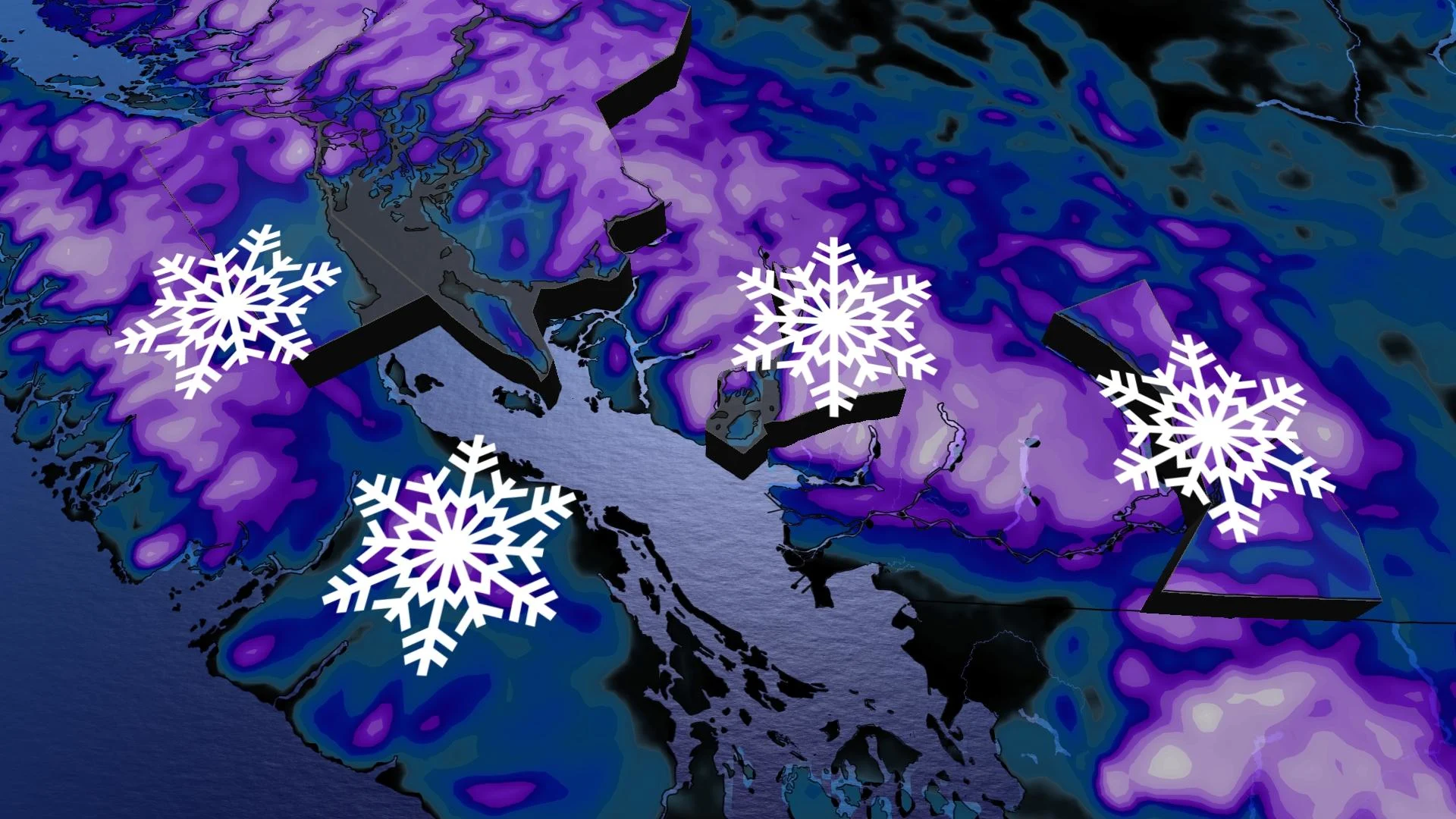
Rising chances for low-elevation snow in B.C. as air gets cold
Travellers along the B.C. South Coast will need to prepare for difficult road conditions Tuesday as low-elevation snow returns to the region.
As we approach the start of meteorological spring, the astronomical winter has some snowy plans for the B.C. South Coast this week.
While the final few days of February began with a glimpse of wintry weather, Tuesday will be a much different story.
DON’T MISS: Earth just experienced its hottest 12 months in recorded history
A fair amount of snowfall will make its way closer to sea level, so Lower Mainland and Vancouver Island centres will be on the hook for accumulations Tuesday. Travellers will need to plan ahead as road conditions will deteriorate quickly once the snow starts falling.
We break down the timing and snowfall projections, which will greatly vary with elevation and temperature.
Tuesday:
Vancouver Island will the snow push in early Tuesday afternoon. Because of the temperature, it will fall as wet snow from Port Alberni to Sayward.
Once the afternoon meanders forward, conditions will worsen. Periods of wet snow will develop along east Vancouver Island. Highways impacted will include 4,19 and 28, with accumulating snow reaching as far south as Malahat.

MUST SEE: What is a sluff? These common slides spell danger in the mountains
For Vancouver Island, calculating snowfall projections aren't so easy since temperatures will hover just above the freezing mark.

So, regions inland and away from the water could accumulate more than 10 cm of snowfall, including along the Sunshine Coast.
In the Lower Mainland, wet snow will begin early Tuesday evening, with most locations expected to see the wintry precipitation in that form.
WATCH: Vancouver Island dealing with wet snow on Tuesday
Wednesday:
Come Wednesday at midnight, the wet snow will be firmly transferring over to rainfall across the lower elevations, except the eastern Fraser Valley.

For locales adjacent to the water, less than 5 cm of snowfall will likely pile up, but some areas in northeastern Metro Vancouver, Simon Fraser University and the higher elevations of Surrey could accumulate up to 10 cm of wet snow.

While this will be a modest event for the low elevations along the coast, elsewhere in British Columbia, it will be a hefty mountain snowfall affair that will impact all major mountain passes across southern sections.
Looking beyond the storm, expect an active pattern to continue through the first week of March.
Freezing levels should stay primarily below 1000 metres with substantial snow totals for ski areas, which is great news as we head towards March break. Rain could mix with wet snow at times all the way to sea level.
Be sure to check back for the latest weather updates across B.C.