
Record high pressure in Ontario and Quebec also extends a dry stretch

A dominant ridge of high pressure that has been strong enough to set records in Central Canada has also extended the period of dry weather in Ontario
A powerful ridge of high pressure that established itself over Eastern Canada set records in Ontario and Quebec, and has led to a unusual dry streak in Ontario.
DON’T MISS: What does a classic fall storm look like in your part of Canada?
The system's intensity is notable, with the highest September pressure recorded in Montreal, Quebec City, Chibougamau and Val-d'Or, Que. Meanwhile, a record was also set in Ottawa, Ont.
Pressure levels on Wednesday morning reached 1041 mb in Saguenay, 1036.9 mb in Quebec City (record), 1039.2 mb in Chibougamau (record), Montreal 1037.4 mb (record) and 1037.5 mb in Val-d'Or (record). Ottawa's pressure hit 1037.4 mb (record).
The values were much higher than the standard, sea-level pressure of 1013 mb.
RELATED: Longest dry streak of 2026 in the works across southern Ontario
Impacts from this system also include extended dry spells across Ontario and Quebec.
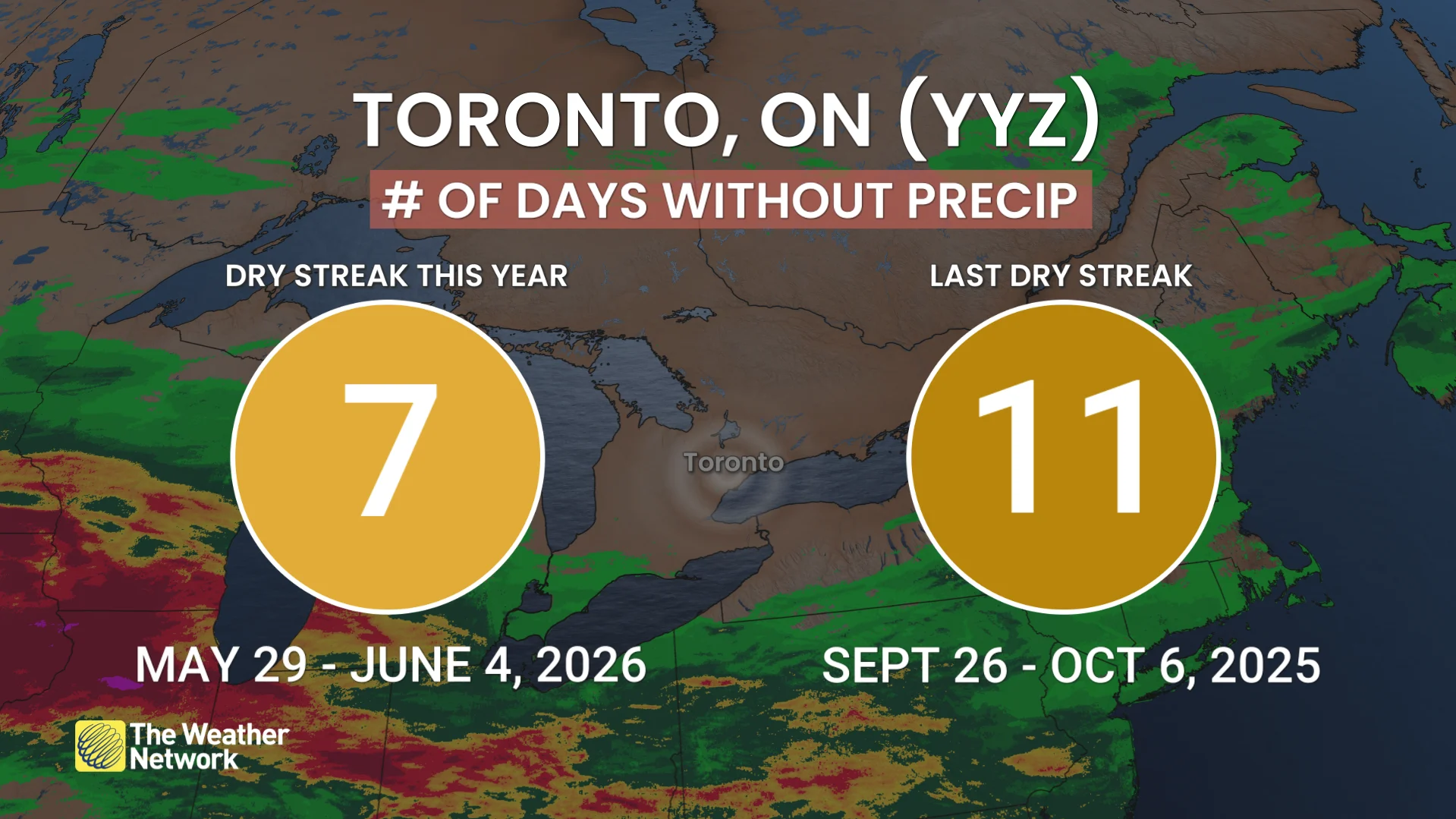
The longest dry streak this year at Pearson International Airport is seven days (May 29-June 4) and will likely be broken this week. As of Wednesday, we have had six consecutive days without rainfall at Pearson.
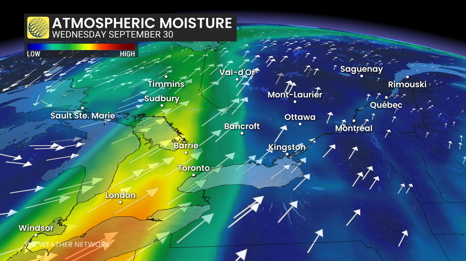
At this point, the next legitimate chance for rain is Sept. 30th and into Oct. 1.
Another notable, dry stretch at Pearson airport was last year, stretching from Sept. 26 to Oct. 6 (11 days). At this point, the potential, current dry stretch could continue for about 12 days (based on the current forecast).
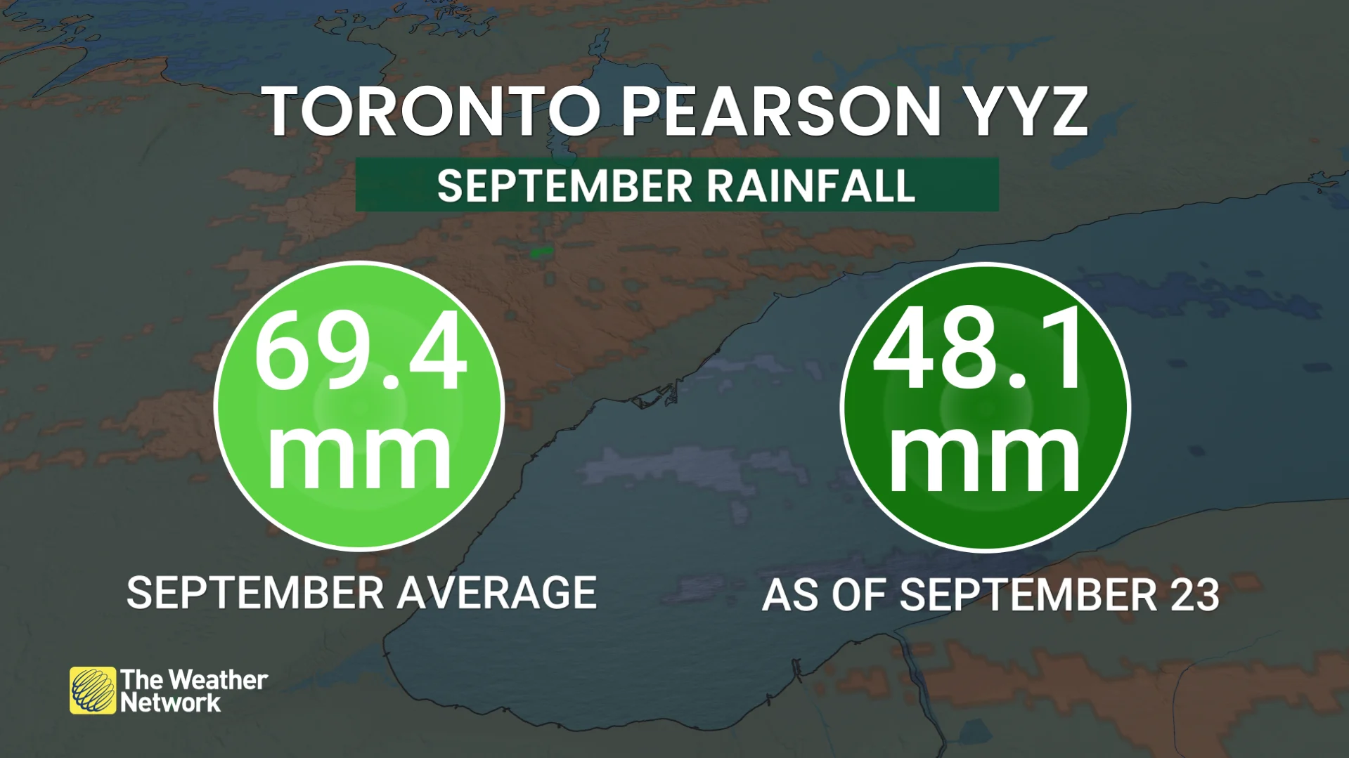
Pearson has recorded 48.1 mm so far this month, with most of it falling on Sept. 2 (43.3 mm reported). The normal rainfall at the airport is 69.4 mm.
What's next?
Going forward, the unusually robust, high-pressure system positioned over Quebec will dominates Eastern Canada, nearing 1040 hPa.
A powerful, upper-level, atmospheric ridge remains anchored, extending this extended stretch of tranquil weather.
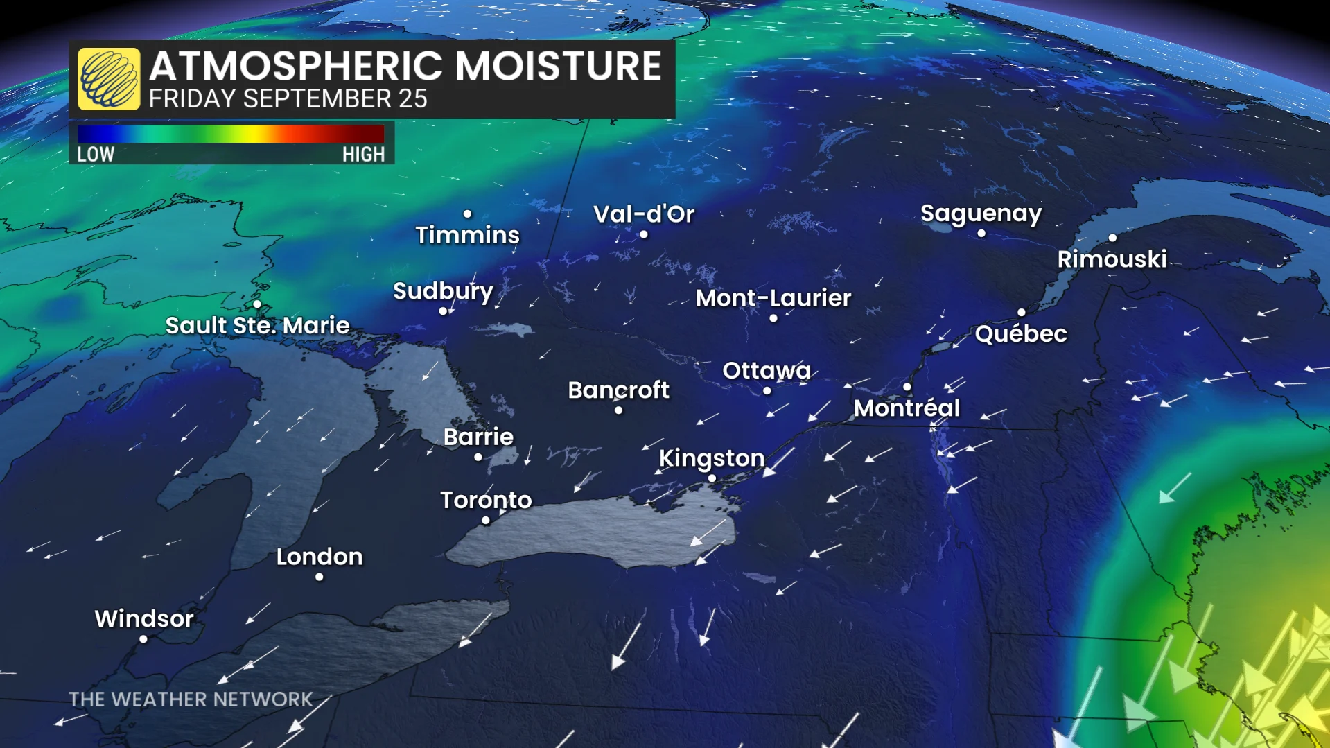
The blocking configuration will split the jet stream, driving the northern branch upward and steering the southern track away, effectively keeping Ontario and Quebec isolated from active storm tracks.
Descending air under the high will limit cloud production and prevent shower development and with the block, extending the trend.
Lighter winds are anticipated during the next few days.
Bright, dry conditions will persist Thursday and Friday with highs again hovering around 18°C and 20°C, respectively.
Mainly sunny skies will carry into Friday as daytime values warm up closer to 22°C.
Although the ridge slowly weakens and drifts heading into the weekend, the persistent block continues to hold major weather disturbances away from the region.
Consequently, the prolonged dry spell will linger across southern Ontario, offering very little opportunity for impactful rainfall through the near-term forecast.
While the high pressure has resulted in stable weather, it’s always important to stay updated on any changes in the forecast as September weather can still bring surprises.