Record warmth and rain spreading over southern Ontario through Wednesday
A foggy stretch continued Tuesday in southern Ontario ahead of another unseasonably warm late-December night
The calendar says it’s Boxing Day, but the atmosphere seems to think it’s still October.
Daily records could fall across southern Ontario as southerly winds swirling around a stateside low builds another unseasonably warm day across the region.
DON’T MISS: Don’t chuck those silica gel packets! Here are ways you can use them
It’s been an exceptionally foggy couple of days across southern Ontario as a humid and relatively calm airmass parked over the region.
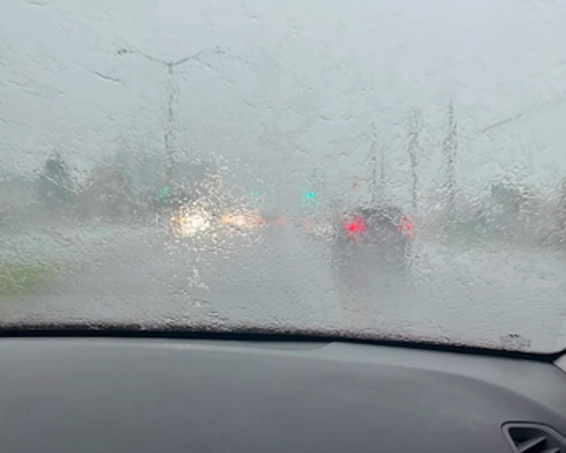
Visibility dropped to zero at times, making it almost impossible for drivers to navigate roads—especially in the dark. Hamilton endured more than 12 hours of zero-visibility conditions overnight Monday into Tuesday morning.

Steadier rainfall is expected across Lake Ontario into Wednesday.
Folks across the region can expect general rainfall totals of 10-20 mm over the next couple of days, with pockets of heavier rain possible near Niagara and Lake Ontario.

Southerly winds during a warm pattern are a recipe for broken records—and broken records are a bit of a broken record these days.

MUST SEE: What's your payout? El Niño brings Canada a holiday bonus
Make the most of the unseasonable warmth despite the gloom and threat for rain. Looking ahead, temperatures should steadily fall from their lofty heights as the week wears on. Daytime highs hovering within a degree or two of the freezing mark in Toronto will make for near- or slightly above seasonal conditions through the start of 2024 early next week.
Thumbnail courtesy of Soo Jean Le Pine in Gloucester, Ont.
Stay with The Weather Network for all the latest on conditions across Ontario.