Rare nocturnal thunderstorms set for B.C. coast as troughs dig in

Thunderstorms in the afternoon are pretty normal. What is rare, is the instability sticking around into the overnight hours
Heat and wildfires have been the signature of this summer, with many communities having to evacuate as wildfires spread rapidly. Air quality advisories have persisted as many regions saw their readings top the scale for poor air.
Now as the summer months come to a close, there's going to be a rare weather occurrence for parts of British Columbia's coast Monday and Tuesday.
NOCTURNAL THUNDERSTORMS
A strong upper trough is expected to swing through Monday and Tuesday, bringing showers and the risk for thunderstorms by Monday afternoon.
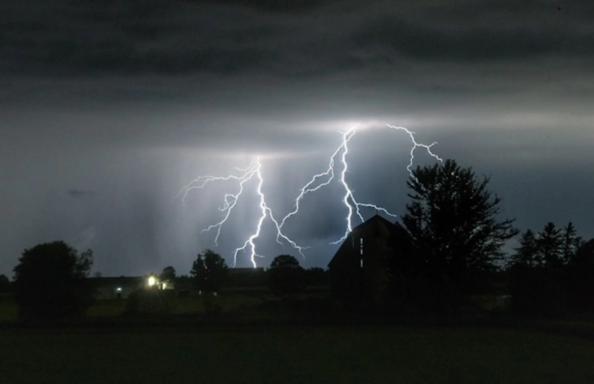
Thunderstorms in the afternoon are pretty normal. What is rare, is to see the instability stick around into the evening and overnight hours. Nocturnal thunderstorms could bring rumbles of thunder while many are in bed sleeping. There is a potential for lightning and heavy downpours through Tuesday morning.
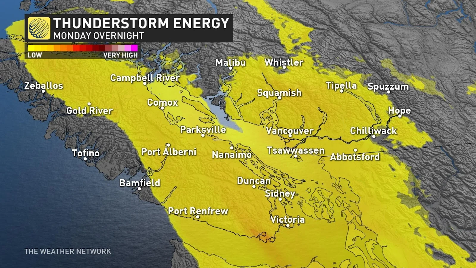
Scattered thunderstorms along the coast and Lower Mainland on Monday will push into the interior throughout Tuesday. These thunderstorms could bring localized heavy rain and gusty winds. Even small hail is in the cards, especially as the cooler air begins to work its way in on Tuesday.
The storms will have a positive impact on the current poor air quality readings across the Lower Mainland. At one point on Sunday, the AQHI (Air Quality Health Index) was as high as 10+ for parts of the Fraser valley.
RELATED: Why nocturnal thunderstorms can be particularly dangerous
SOME MUCH NEEDED RAIN AND COOLER TEMPERATURES
On Monday, the rain and wind ushered in by this next trough will help bring much improved air quality for Tuesday onward. While the rain won't completely alleviate the concerns, it will help to clear the air and perhaps control some of the fires that continue to burn.

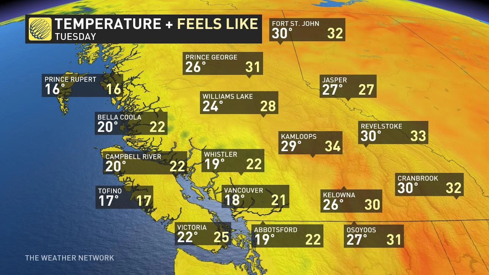
Temperatures are expected to be hot Monday, but will become much cooler as the system works its way through the Lower Mainland on Tuesday and then through the interior by the middle of the week. Temperatures will go from feeling like 30 to around 20.
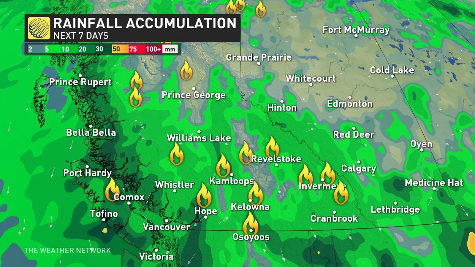
The rain will come in rounds over a three-day period from Monday to Thursday. Approximately 20-30 mm of rain is possible with higher local amounts within thunderstorms. This rain will help tremendously with the wildfire fighting efforts across the province.
WATCH: Wildfire smoke creates unusual frame for these wedding photos
Stay tuned with The Weather Network for the latest updates across B.C.