Rainy, breezy conditions usher in the weekend in southern Ontario
The season's first Colorado low is bringing a raw, wet, and windy start to the weekend for much of southern Ontario
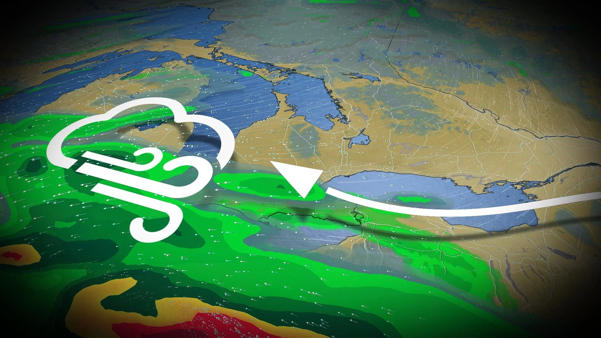
Southern Ontario’s first Colorado low will impact your Saturday plans to some degree.
The low-pressure system, while staying south of the border, will still bring widespread rains and a raw easterly wind off Lake Ontario for Saturday.
RELATED: How a super typhoon will alter Canada's late-October weather
Widespread 40-60 km/h wind gusts can be expected Saturday, peaking in the morning and afternoon. Peak wind gusts will likely touch 70 km/h near Lake Erie.
Southern Ontario's first Colorado low of the season threatens weekend plans
Areas: Southern Ontario
Timing: Through Saturday overnight
The system will track south of Lake Erie, keeping the majority of the rain confined to the southwest. But the Greater Toronto Area (GTA) is not in the clear with this peculiar setup, either.

High pressure to the north will help to spare much of southern Ontario of persistent rain. But the strong pressure difference will fuel widespread 40-60 km/h wind gusts, peaking Saturday morning and afternoon. Peak wind gusts will likely touch 70 km/h near Lake Erie.
MUST SEE: How Colorado lows and Texas lows affect our weather in Canada
The northern edge of the low will creep showers into Windsor, Sarnia, London and the west end of the Golden Horseshoe through Saturday. Totals range from 5-25 mm, with the heavier totals aimed towards the southwest.
The western GTA will see additionally heavier showers due to lake enhancement around the west end of Lake Ontario, thanks to a steady easterly wind and freezing temperatures aloft.

Hamilton, Burlington and surrounding regions may be most at risk by Saturday afternoon, clearing by the evening. If the lake-effect showers lock in, locally 20 mm in the aforementioned areas are possible. Conditions are expected to improve on Sunday with a chilly and mostly cloudy forecast, with the highest risk of showers downwind of the Great Lakes.
The easterly wind set up will feel brisk to Lake Ontario shores, but not as brisk as the northerly air that follows. Temperatures will be a few degrees below seasonal this weekend, improving back to the mid-teens for a quieter work week ahead.
WATCH: How a super typhoon will deliver a trick for the east and a treat for the west
The largest waves in the Great Lakes will be confined to stateside regions, where four-metre significant waves build near Cleveland, Ohio, with one- to two-metre waves near the west end of Lake Ontario.
The energy from this Colorado low will re-emerge in the Atlantic, fuelling a deep low sliding south of Atlantic Canada later on Sunday, threatening to bring strong winds to Newfoundland.
Visit our Complete Guide to Fall 2023 for an in-depth look at the Fall Forecast, tips to plan for it and much more!
The next surge of active weather in Ontario may arrive around or after October 20th courtesy of a super typhoon way out in the western Pacific Ocean.
The remnants of this typhoon will recurve into the northern latitudes through the weekend, setting off a domino effect in the upper-level pattern that may bring near- to cooler-than-seasonal temperatures through the end of the month. Forecasters are closely watching to see if it gets cold enough for our first lake-effect flakes of the season.
Stay tuned to The Weather Network for the latest forecast updates in Ontario.