Rainfall totals add up in Ontario as lake-effect bands slow to move
A unique setup has unfolded across parts of Ontario, a rarity for this long of a period. For perspective, if this event occurred in December or January, we’d be talking about more than a metre of snow instead of soaking rains.
It was tough for people in southern Ontario to imagine a cold, windy, and rainy day after the incredible weather last week. But it's something they had to live with, especially in areas near Georgian Bay and Lake Huron, with a significant pattern change in the last few days.
A unique setup has unfolded across parts of Ontario, a rarity for this long of a period. For perspective, if this event occurred in December or January, we’d be talking about more than a metre of snow instead of soaking rains.
RELATED: Historic snowfall on the Thanksgiving table for parts of Ontario
Timing and temperatures will make the difference between 50-100 mm of rainfall and close to a metre of snow accumulating during this event.

Lake-effect machine roars through mid-week
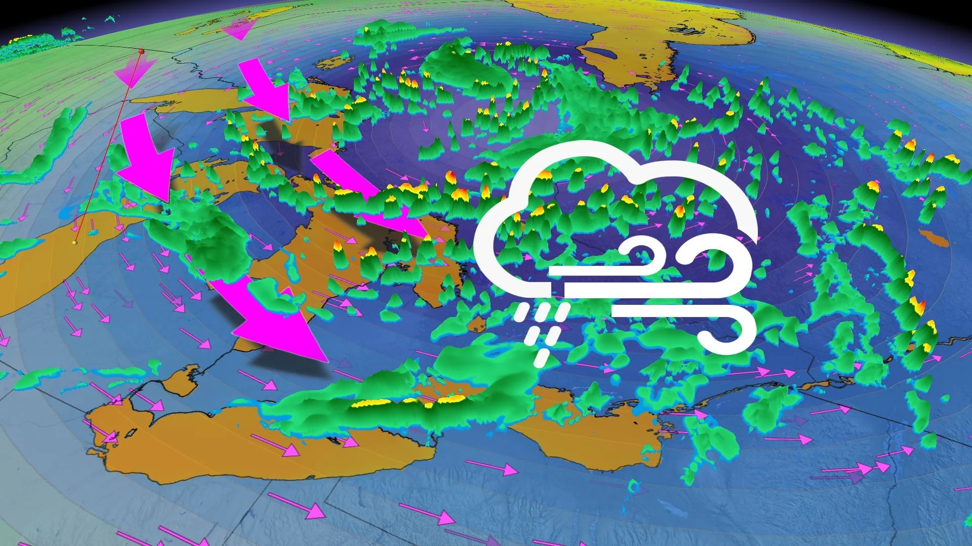
Areas: Southern Ontario
Timing: To Wednesday
Weather: Lake-effect rain, local flooding.
The strongest wind gusts were Sunday and Monday, carrying in the coldest temperatures. Gusts more than 80 km/h blanketed the open water of the Great Lakes, while gusts of 50 km/h removed a good number of the leaves across inland areas.

Wave heights of three to four metres brought people to the shores of lakes Ontario and Huron, as well as Georgian Bay.
Although the responsible low-pressure system will continue to sit over northeastern Ontario for the next few days, conditions in southern Ontario will gradually improve.

MUST SEE: Giant Antarctic ozone hole grows 2.5 times bigger than Canada
Wind gusts will remain under 40 km/h and temperatures will do their best to get back to the low teens, where they belong for the middle of October.
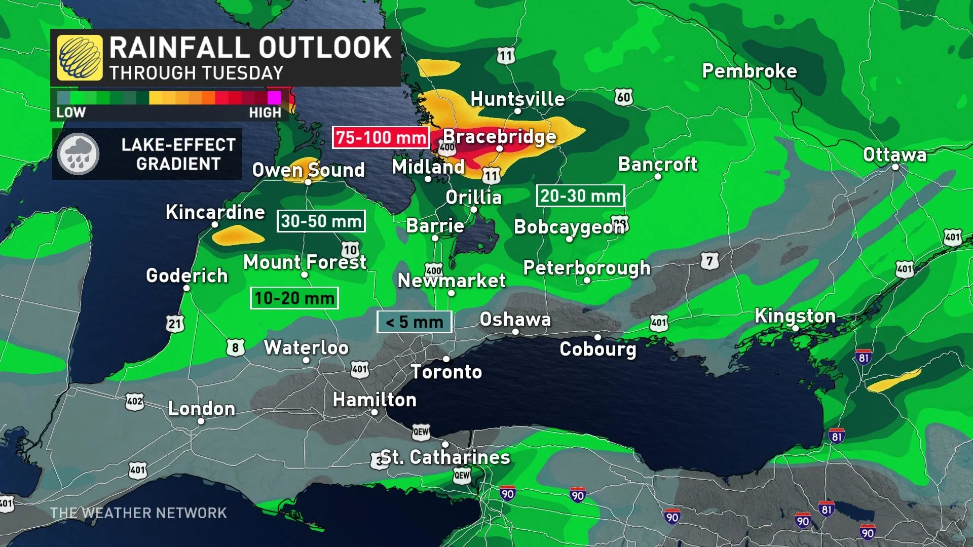
Localized flooding is possible across areas that experience the heaviest rains. Avoid flooded roads if you have to drive through water-logged areas over the next few days.
All signs are pointing to a Colorado low heading towards the Great Lakes by next weekend, but the models are in poor agreement.
High pressure in the Prairies may save southern Ontario from another ruined weekend by forcing the low south of the Great Lakes. We're still four to five days out, with models putting the Greeater Toronto Area (GTA) in the range from no rain to 40-50 mm totals.
Stay tuned to The Weather Network for the latest forecast updates in Ontario.