Disruptive snow, gusty winds to hit Quebec through Saturday
A stormy week rolls on across the eastern half of Canada as another winter storm takes aim at Quebec late Friday into Saturday
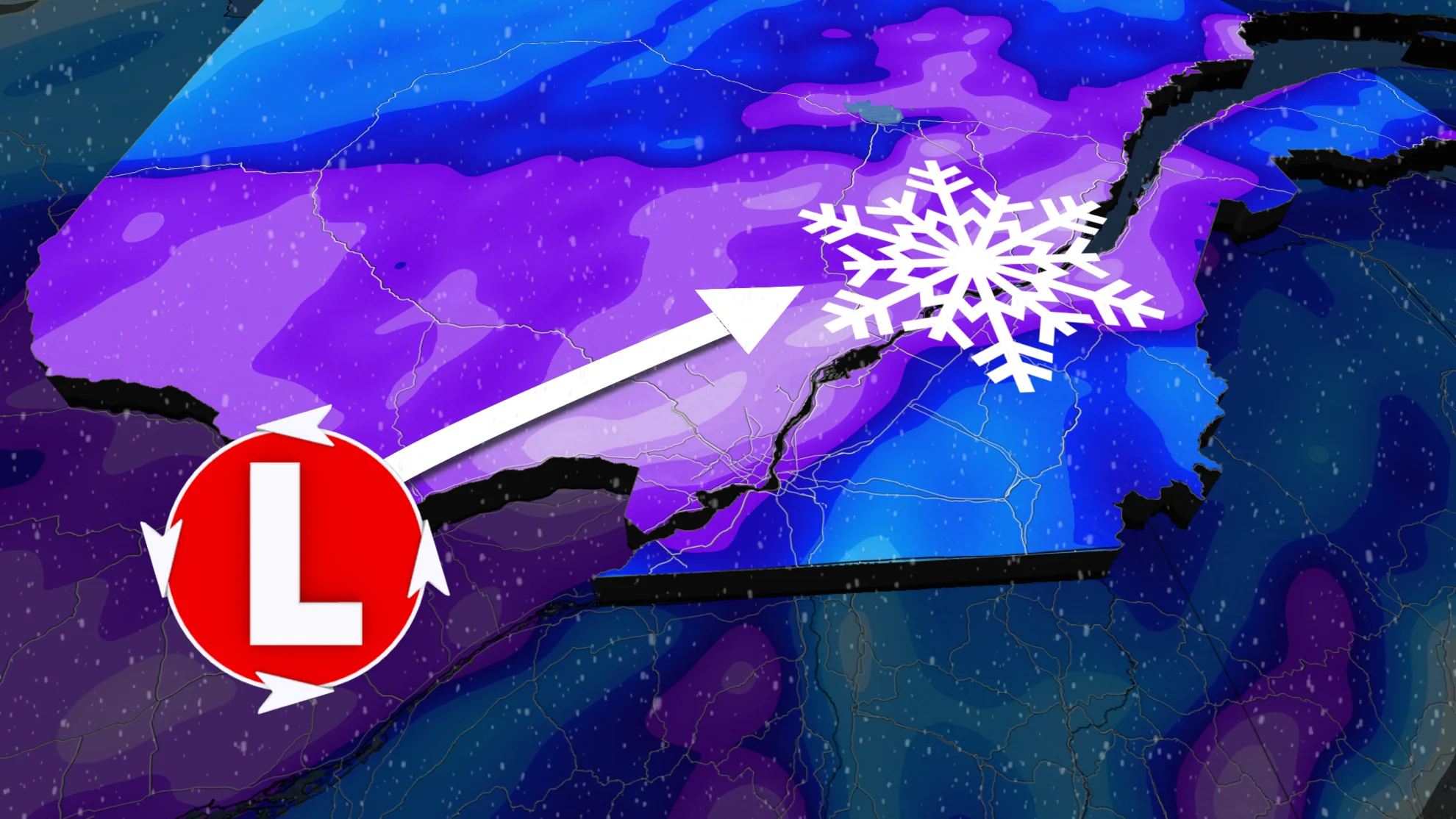
An active storm track will send another disruptive winter storm sliding over Quebec late Friday into Saturday, threatening a new round of heavy snow and gusty winds across areas that saw the same just a few days ago.
Some communities could see significant snowfall totals from this system. Gusty winds and blowing snow will make travel difficult and dangerous at times.
Going somewhere? Check out the current highway conditions before heading out!
Friday night through Saturday
A significant winter storm rolling over the Great Lakes on Friday will begin pushing into Quebec late on Friday.
Snow will arrive in southern and western Quebec overnight Friday, spreading into Quebec City and the surrounding areas by early Saturday morning.

The heaviest snow will fall Friday overnight and into Saturday morning, with lighter precipitation and some mixing with rain moving into southern areas by Saturday afternoon. The rain will be relatively brief in Montreal compared to the last soggy event.
It is still a tricky forecast for Montreal and areas south and east however, as we’ll have to see how much snow can fall and accumulate before warmer temperatures move in. There's also the chance for freezing rain and ice pellets to develop during the transition from snow to rain.

While exact snowfall totals are still uncertain, a widespread 10-20+ cm of snow is possible across the hardest-hit areas by the end of the storm on Saturday.
The combination of heavy snow and winds gusting between 60-80 km/h will likely result in hazardous road conditions. Drivers are urged to adjust or postpone any non-essential travel plans until the storm ends on Saturday.

Stay with The Weather Network for the latest on this major storm in Quebec.