Quebec and eastern Ontario face a localized flood risk Friday

Heavy rain pushing into the region will raise the risk for localized flooding on Friday
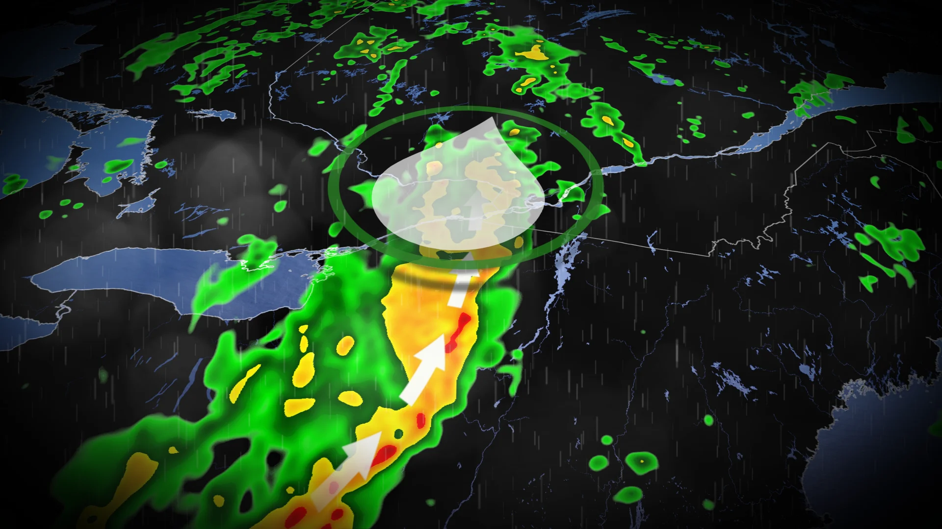
A round of heavy rain and thunderstorms has turned into a solid tradition to end the workweek across eastern Ontario and southern Quebec, and this week will prove no exception as a new system moves into the region.
We’ll see rainy conditions start on Thursday night and continue into the day Friday, raising the risk for localized flooding throughout eastern Ontario and southern Quebec, especially in areas where soils are still saturated from recent rains.
MUST SEE: 'Hailsonde' released into the eye of an Alberta storm in a world-first
Most of the severe risk is driven by the threat for heavy rainfall, but strong wind gusts are also possible in a few storms. Use extra caution for standing water during the Friday morning commute.
NORTHERN WILDFIRES: Hundreds waiting to flee Yellowknife by air told to try again Friday
Enhanced moisture streaming in from the east, combined with the slow-moving, steady pace of the rain expected over the region, could once again lead to localized flooding between Ottawa and Montreal.
Friday
Areas: Eastern Ontario and southern Quebec
Timing: Through the afternoon and evening hours

Weather: We won’t see the rainfall let up on Friday as this system’s influence lingers throughout the area.
Showers wrapping around the disturbance will help increase rainfall totals in central Quebec, while the band of heaviest rain tracks over the Gaspe by the afternoon.
Conditions will settle down by the evening hours across the south, where only a chance for a few spotty showers will end the day.
We’ll expect to see widespread rainfall totals of 30-50 mm across Quebec by the end of this latest bout of tropical-infused precipitation, with the opportunity for heavier accumulations beneath localized downpours and thunderstorms.

Check back for the latest on conditions across Central Canada.