Prepare for another 10-20 cm of snow to end Alberta's wintry week
After a late-November snowstorm on Monday, even more snow is in the forecast for Calgary and southern Alberta as we close out the work week.
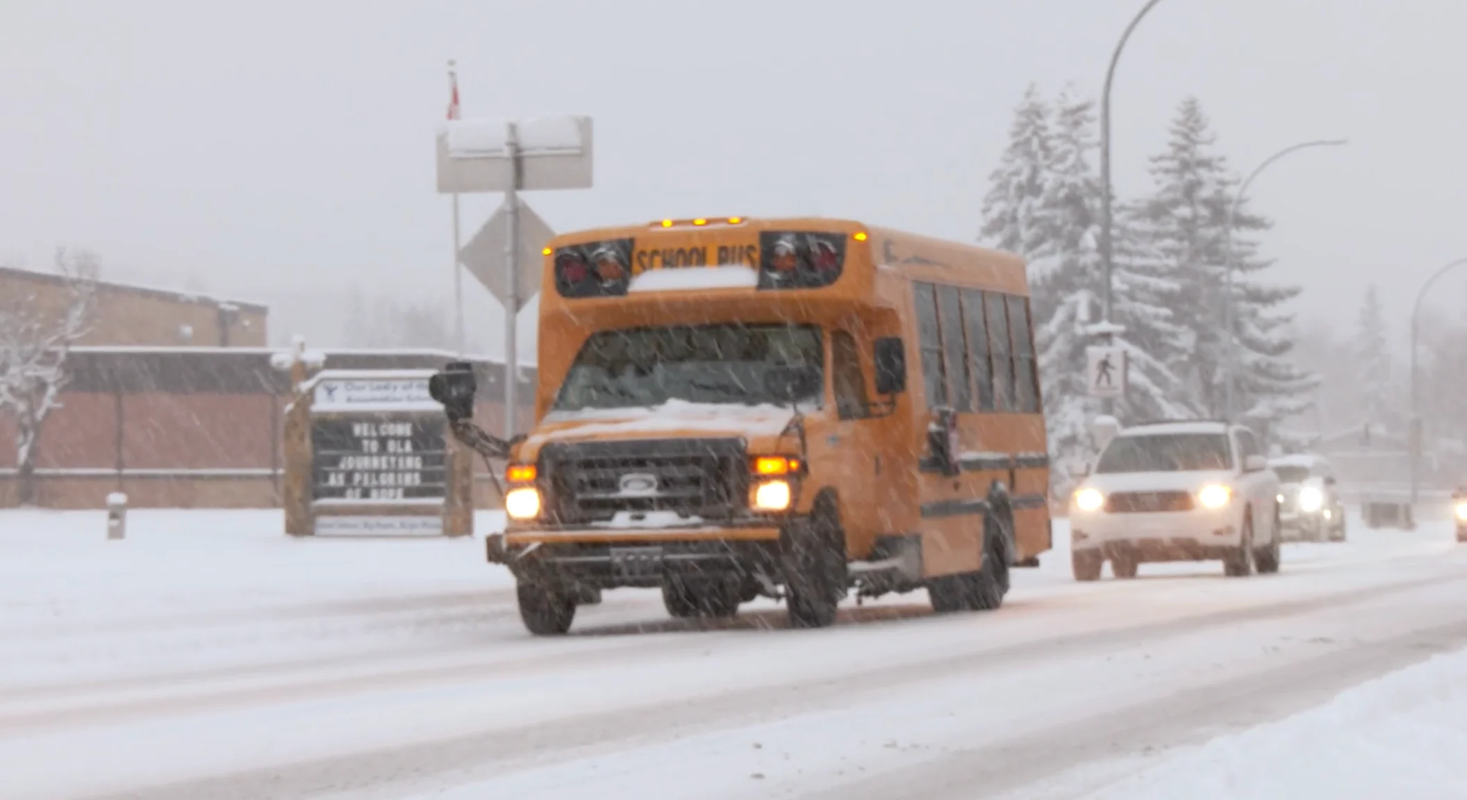
After what has already been a snowy week, even more snow is on the way Thursday night and into Friday, once again raising the risk of travel delays and hazards for folks commuting throughout Calgary and the rest of southern Alberta.
Calgary saw its first major snowstorm of the season on Monday, when snowfall rates reached 1 cm per hour, resulting in numerous vehicle accidents and flight delays. In total, 10-15 cm of snow fell over southern Alberta throughout Monday.
DON'T MISS: New colour-coded Canadian weather alerts have now launched. Here's what they mean if you see them
Folks should prepare to park in the garage Thursday evening or have to brush off their vehicles on Friday morning as another round of snow arrives to close out the week.
The snowy weather will start Thursday afternoon in the southwest but will gradually spread northeast throughout the day.

Luckily, the bulk of the snow will fall during the overnight Thursday, but it will make for some snowy headaches Friday morning.
SEE ALSO: Think you know winter? Let's clear up these common myths
Calgary can expect to see another 5-10 cm of snow Thursday night. The snow totals will increase the farther south you travel, with 10-20 cm forecast toward Pincher Creek and Lethbridge. The heaviest snow should be closer to the international border.

Frigid temperatures will also continue to add to the wintry state of the week's weather, as they continue to fall toward the double digits by Friday. We'll also see the dreaded wind chill in play on Friday, making temperatures feel like the minus teens.
Stay with The Weather Network for more information and updates on your weather across Alberta.