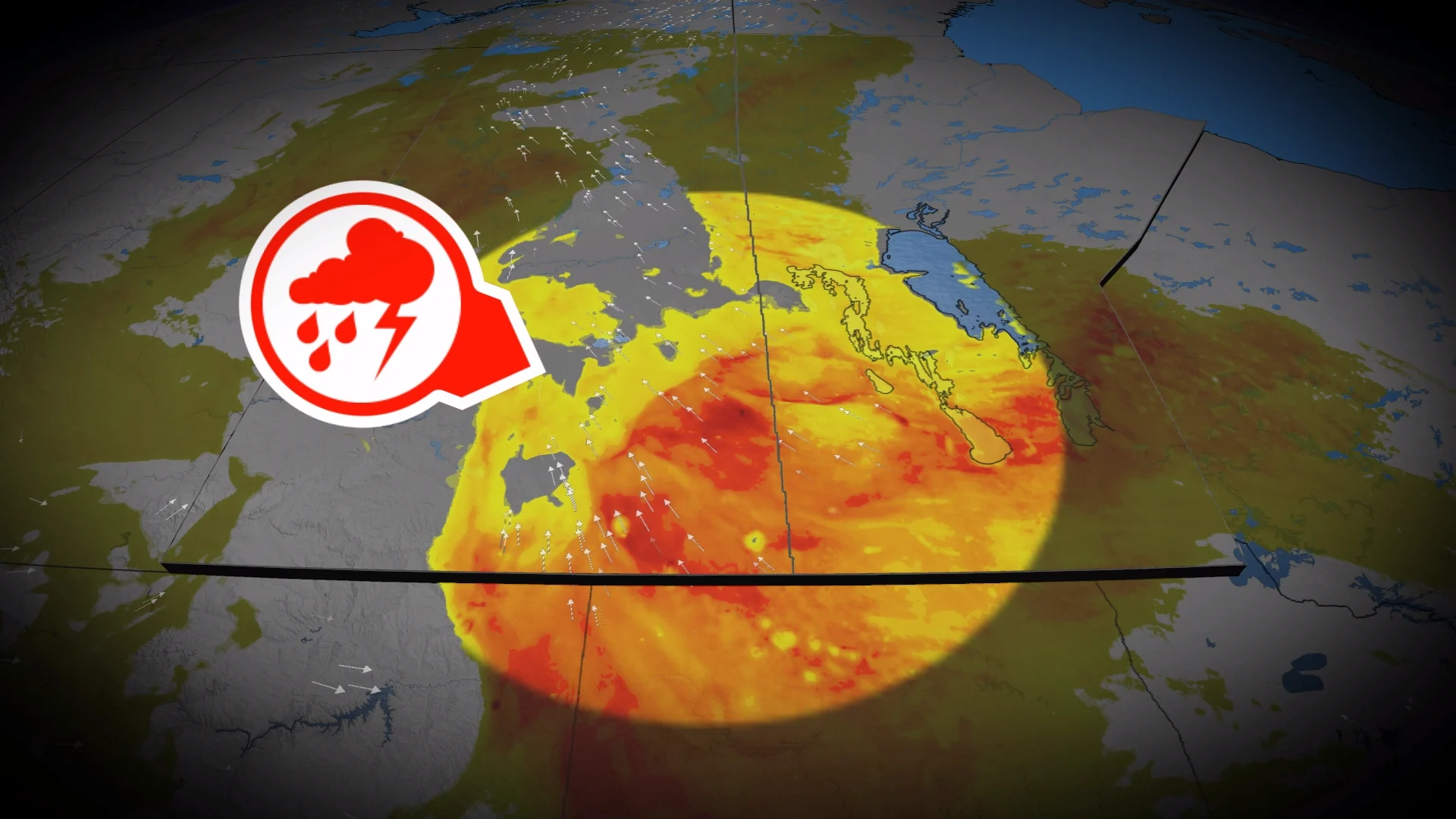
Prairie storms risk damaging winds, large hail on Sunday

Folks across the Prairies should keep an eye to the sky for a severe storm threat on Sunday
A stormy Saturday spawned very large hail and rotation across parts of the Prairies.
We’ll see a renewed threat for severe storms develop throughout Sunday, with multiple rounds of hazardous weather expected.
Be sure to monitor the radar if you’ve got plans through Sunday night, and stay aware of potential watches and warnings in your area.
DON’T MISS: What is a mesoscale convective system? How an 'MCS' can spell danger
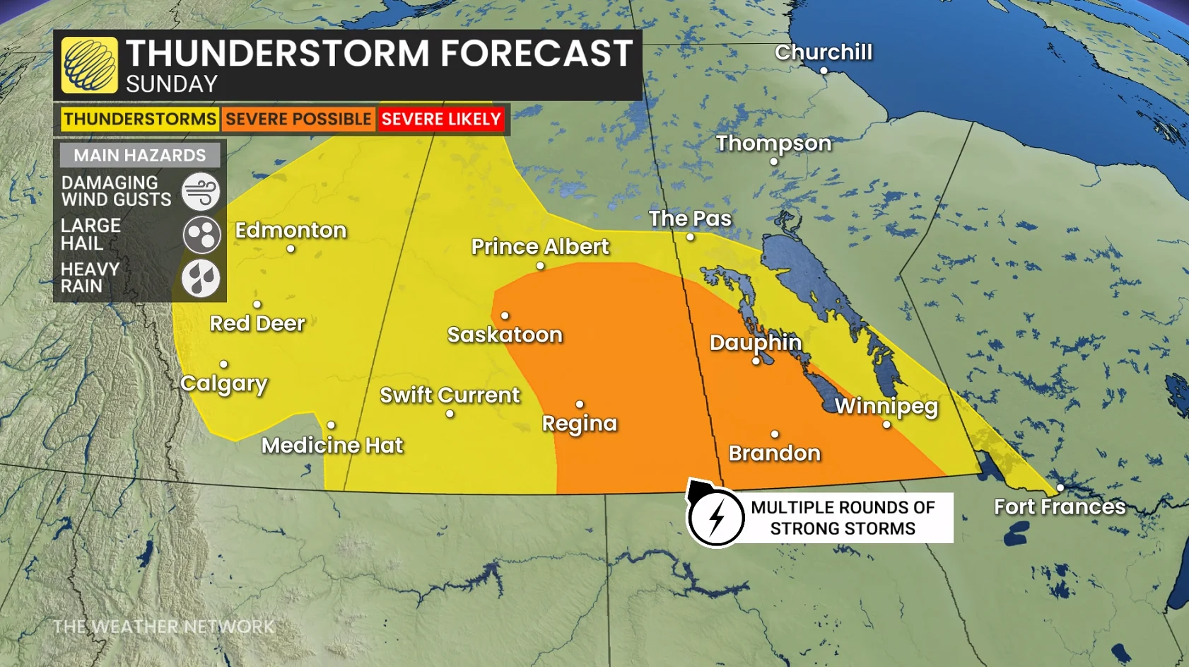
Moisture and instability streaming over the Prairies to end the weekend will bring a fresh threat for strong to severe thunderstorms across the region.
The greatest concern will exist in southern Saskatchewan into southern Manitoba, including areas around Regina and Brandon.
Sunday will start with morning thunderstorms across central Saskatchewan. These cells should remain non-severe, but downpours and small hail are possible.
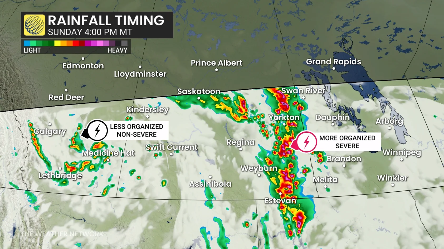
Storms will organize and tap into higher instability over eastern Saskatchewan by Sunday afternoon, quickly developing into one or more lines as a low-pressure system develops near the international border.
This activity will increase the potential for damaging winds and large hail in southeastern Saskatchewan.
The storm threat will shift into southern Manitoba by Sunday evening. A favourable environment for severe thunderstorms here will bring the region a risk for strong winds, torrential rain, and large hail.
Stay with The Weather Network for all the latest on conditions across the Prairies.