
Another blast of rain hits B.C., with heightened flood and outage risks
After one strong atmospheric river, which elevated the flood threat and led to power outages from blustery winds, another potent low is forecast to cross British Columbia later on Tuesday with more rainy and windy impacts
A robust atmospheric river is having a major impact in B.C. this week, leading to more flood alerts amid a bout of intense rainfall totals and a growing number in power outages after wild winds pushed through.
After washing onto the West Coast, flood alerts have been generated throughout parts of British Columbia. Meanwhile, blustery winds led to power outages and travel disruptions. Outages will likely fluctuate throughout the day.
DON'T MISS: What’s a Pineapple Express? Diving into this robust atmospheric river
The situation may worsen before it gets better as another potent low-pressure system is expected to move in with yet another round of heavy rainfall and potentially damaging winds on Tuesday. There's an increased flood and landslide risk. Highway 3 remains closed from Hope to Manning Park as crews address landslide damage in the area.

A flooded road in Sumas Prairie West, Abbotsford, British Columbia. Dec. 16, 2025 | Connor O'Donovan
Motorists should check for updates before travelling.
B.C. sees hefty rainfall totals, strong winds and...record-breaking temperatures
This latest event is a particularly robust type of atmospheric river known as a pineapple express, as the plume of moisture originated in tropical latitudes around Hawaii where they grow pineapples.
Rainfall totals Sunday and Monday:
Effingham: 214 mm
Squamish: 190 mm
Port Mellon: 98 mm
Port Alberni: 82 mm
Coquitlam: 78 mm
Pemberton: 62 mm
Whistler: 54 mm
West Vancouver: 48 mm
Hope: 65 mm
Cultus Lake: 48 mm
WATCH: Continued rain, wind, and flood warnings
What's to come still this week
Folks throughout southern B.C. can expect another pulse of heavy rainfall on Tuesday. Another push of heavy rain is expected late Tuesday and through the overnight hours.

RELATED: Evacuation orders downgraded in Abbotsford; rain, wind warnings persist in B.C.
Through Wednesday morning, an additional 30-50 mm of rainfall is expected across most of Metro Vancouver, with local amounts exceeding 75 mm across higher terrain north of the Fraser River.
30-50 mm is possible across Vancouver Island, with pockets exceeding 50 mm across western inland sections and higher terrain, including the Malahat.
In addition, avalanche risks are elevated. Travel in avalanche terrain is not advised in the coming days.

Dropping freezing levels mean heavy snow for the inland mountain passes and Whistler area--30+ cm accumulation above 1800 metres.
Another threat of damaging winds exists through the pre-dawn hours on Wednesday, as southwesterly winds develop across Greater Victoria and the Lower Mainland and Fraser Valley.
Gusts up to 70-90 km/h are possible with ferry delays and power outages likely again.

Active pattern continues through Christmas week
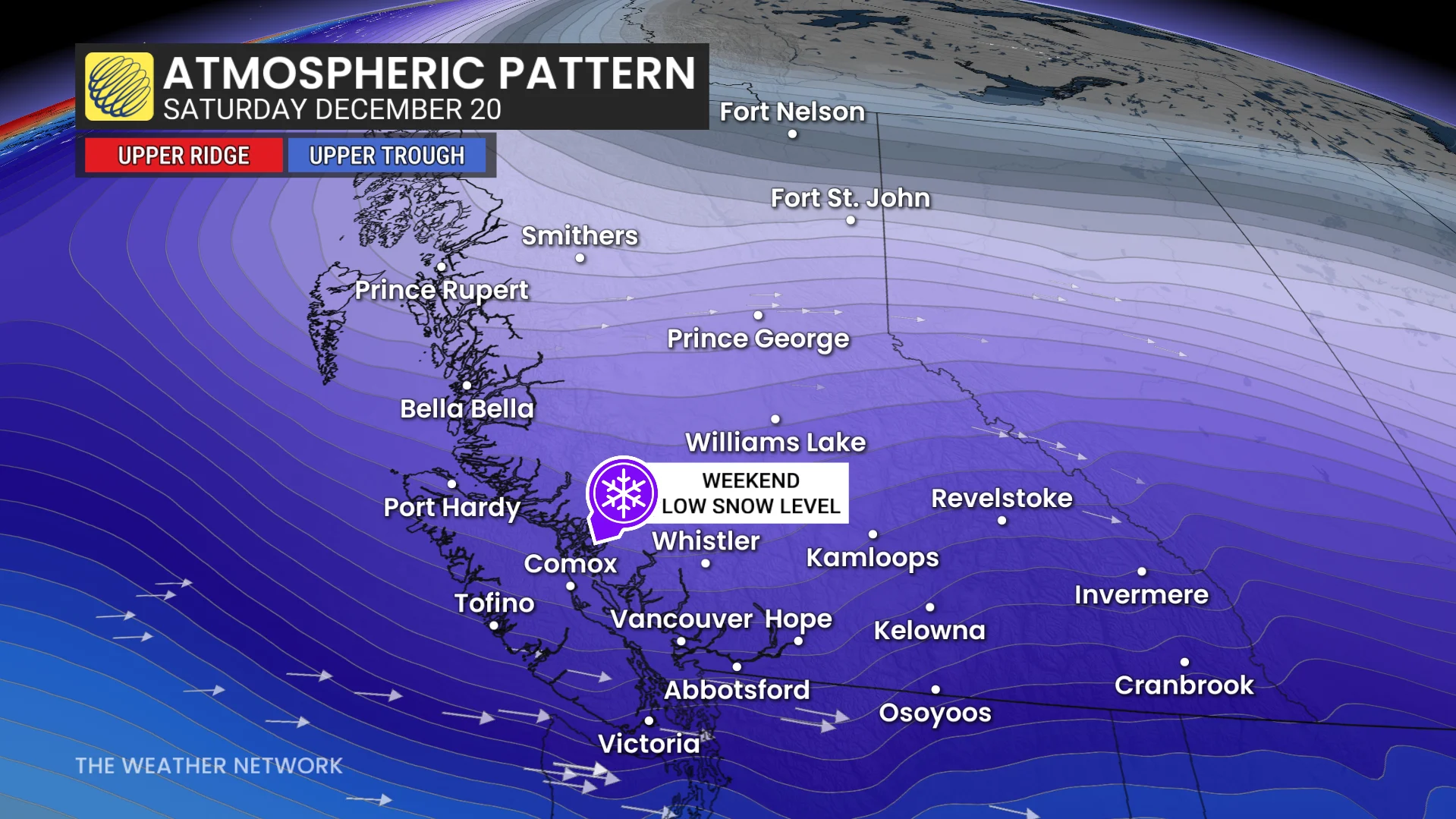
A colder, active weather pattern will persist through the weekend with lower precipitation rates. However, ski areas will see much-needed snowfall, and reduced snow levels may impact travel through mountain passes.
An active pattern is anticipated for Christmas week, potentially bringing significant rainfall to the South Coast. Temperatures will be closely monitored, as there is a chance for wintry or mixed precipitation in lower elevations.