Potent nor'easter eyeing Atlantic Canada for impactful, wintry hit
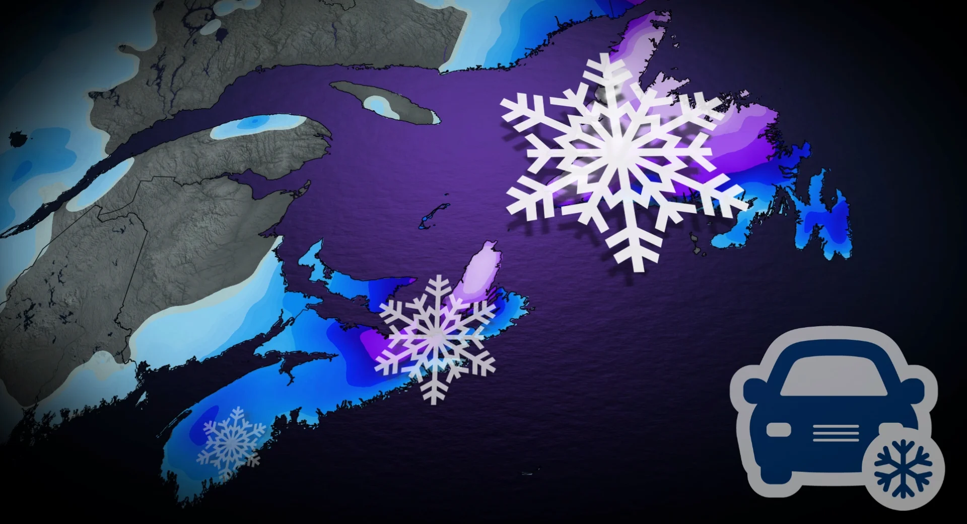
A swath of 10-20+ cm of snow is likely for parts of the Maritimes and Newfoundland as a potential nor'easter will push into Atlantic Canada for early next week

The East Coast is bracing for an impactful and typical winter storm, potentially a nor'easter, for the start of next week.
This system is so potent that it could even bring snow to portions of Florida and Georgia. A swath of 10-20+ cm of snow will likely accompany this system as cold air is present to the north.
DON'T MISS: Second half of January looking much colder across Canada
But precipitation types and amounts will depend on the ultimate track of the system this system takes as it moves up the East Coast.
Snow accumulations may make travel hazardous. Roads and walkways could become slippery and difficult to navigate. Consider adjusting plans to avoid the most adverse conditions.
Uncertainty in the track of the storm
All the ingredients are coming together for a potentially impactful storm for much of the region. Nor’easter is set to develop Sunday evening off the northeastern U.S., then track towards Atlantic Canada overnight into Monday.
We’ll see a mix of heavy snow and rain spread across the Maritimes and Newfoundland into early next week.

Heavy, wet snow spreads across the Maritimes later Sunday evening, with the heaviest snow forecast for the pre-dawn hours on Monday morning.
Improving conditions Monday morning across the Maritimes as the system lifts towards southern Newfoundland.
The track of the system is somewhat uncertain right now, and will dictate what type of precipitation falls over specific areas. This will also determine where the heaviest swath of snow is across the Maritimes and Newfoundland.

DON’T MISS: El Niño incoming? Forecasters see signs of big changes ahead
Based on current trends, forecasters expect a swath of 10-20+ cm of snow across much of Nova Scotia, eastern New Brunswick, Prince Edward Island, and much of Newfoundland. Lower snowfall totals are possible right along Nova Scotia’s southern shores.
Highest totals are forecast for inland sections of Nova Scotia and western Newfoundland, where locally up to 30 cm of snowfall is possible across higher terrain.

Warmer temperatures arriving over the Avalon Peninsula will cut snowfall totals down to a dusting here before precipitation changes over to rain.
The cold pattern is forecast to persist through the end of January, with additional systems potentially bringing significant winter storms and widespread snow to the region.
Stay with The Weather Network for all the latest on conditions across Atlantic Canada.