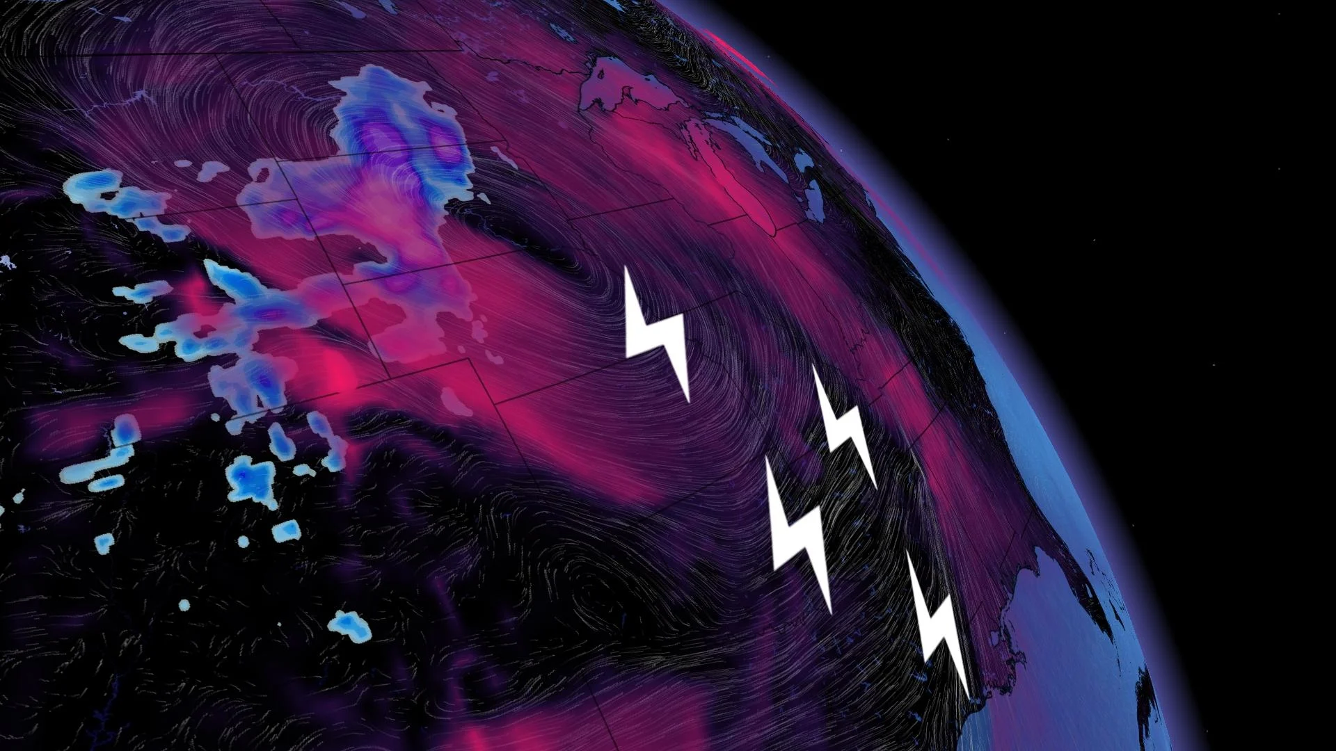
Mighty 3,000-km-wide storm to hit with howling blizzards, twisters

The impending system will stretch from the Prairies to the Gulf of Mexico, bringing everything from ripping blizzards to a threat for tornadoes.
A powerful storm that is developing across the northern United States this week will grow into a behemoth, stretching more than 3,000 km long at its peak, and bring snow to the Prairies while ferocious thunderstorms roar along the Gulf Coast.
DON’T MISS: A looming December chill could boost Canada’s odds of a white Christmas
On Monday, a low-pressure system will form over northeastern Colorado and rapidly strengthen as it heads toward the Dakotas on Tuesday.
This system will have a little bit of everything for tens of millions of people. Cold air to the north of the storm will produce blizzard conditions across the High Plains. Many communities across the Dakotas could see more than 30 cm of snow by the end of the storm.
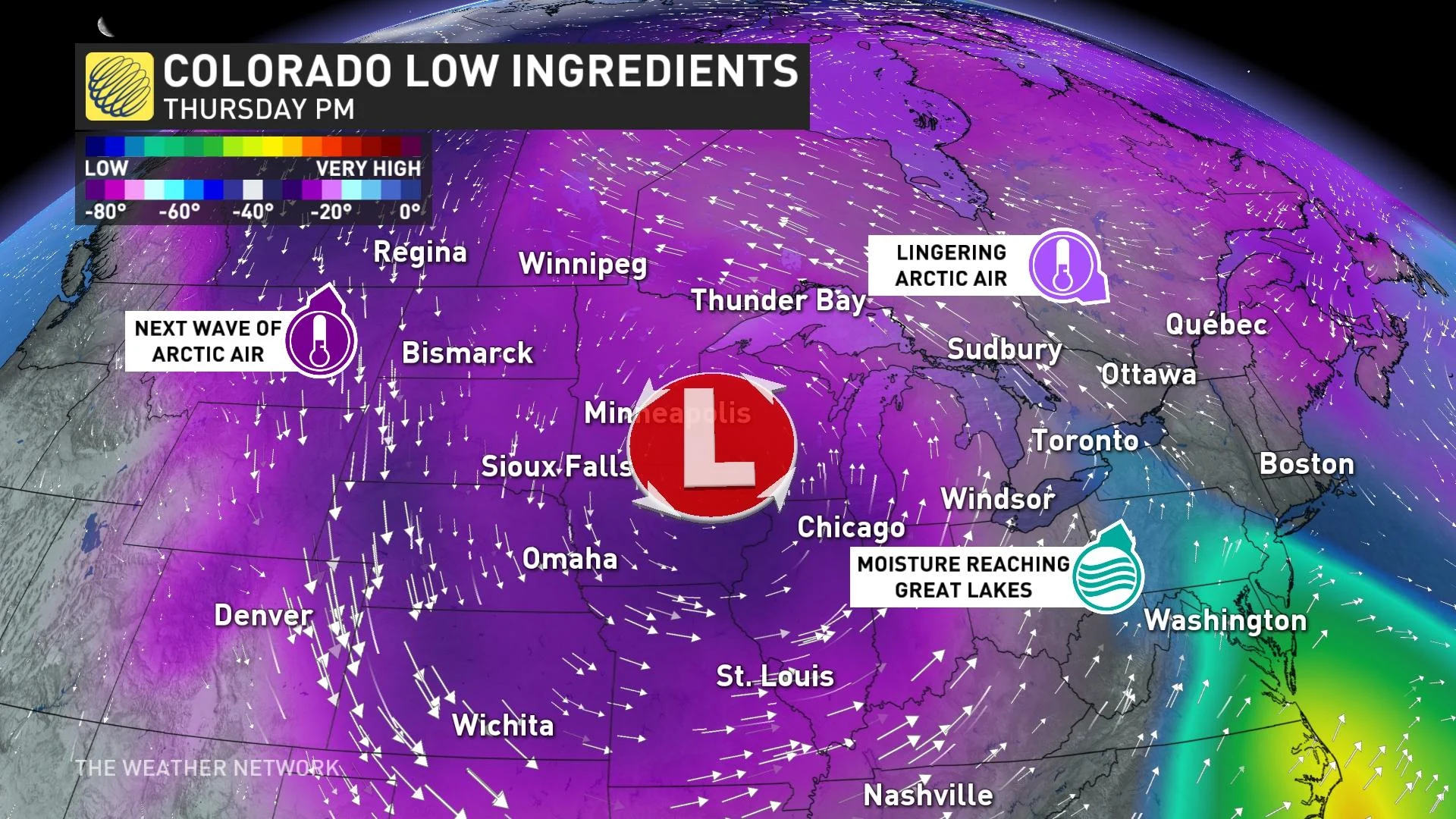
Snow and high winds will spill over the international border and could result in upwards of 20 cm along and south of Highway 1. The threat exists for blizzard conditions across parts of southeastern Saskatchewan and southern Manitoba.
WATCH: Tracking the potent system
Farther south, the mood will be anything but wintry as the system funnels warm, humid air north from the Gulf of Mexico. This unstable air mass will provide the fuel, and an approaching cold front will act as the trigger, to fire off multiple rounds of severe thunderstorms across the southern United States.
These storms could easily grow into supercells capable of producing tornadoes, high winds, and large hail. The greatest risk appears centred over the Lower Mississippi River Valley during the day on Tuesday.
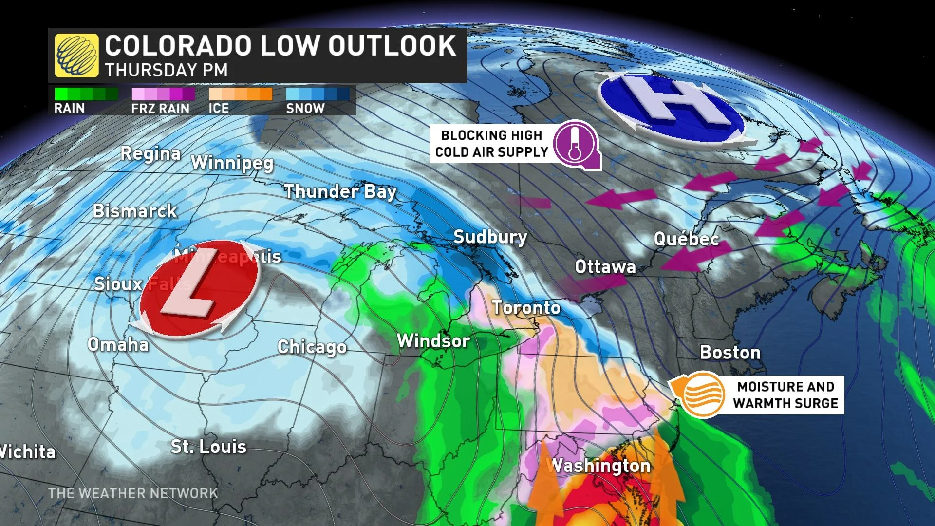
By the storm’s peak on Tuesday and Wednesday, its influence will stretch across the continent from the southern Prairies to the Gulf of Mexico, leaving a footprint measuring more than 3,000 km long.
We’ll have to watch the progress of the storm late this week for potential impacts across the Great Lakes region and the rest of Eastern Canada. Continue to check The Weather Network for updates as we closely monitor this system.
Stay tuned to The Weather Network for the latest as this potent storm develops.


