PHOTOS: East Coast freezes over after mighty winter storm wallop

A significant winter storm brought high winds, heavy rain, and a dramatic flash freeze to the Atlantic provinces on Thursday and Friday.
It’s was a rough end to the week for folks across Atlantic Canada who battled heavy rain, high winds, and a sudden temperature drop as an active storm swept across the region. The rain washed out roads in Newfoundland and led to flooding in parts of the Maritimes. High winds knocked out power to tens of thousands of customers in Nova Scotia. More on this latest storm’s impacts, and a preview of what lies ahead, below.
HIGH WINDS KNOCK OUT POWER, HEAVY RAINS WASH OUT ROADS
While we did see some heavy snow for northern New Brunswick and the Gaspé Peninsula, this storm was mostly a rain and wind event for the Atlantic provinces.
Heavy rains led to localized flooding in some areas. The greatest rainfall totals fell across western Newfoundland, where we’ll likely see as much as 100 mm of rain by the end of the precipitation on Friday evening.
Embedded content: https://twitter.com/ti_govnl/status/1494692022791331847
Runoff from the heavy rain washed out a portion of Route 461 on Newfoundland’s west coast near Stephenville, according to the province’s Department of Transportation and Infrastructure on Twitter.
The system’s strong winds also caused plenty of problems. Tens of thousands of homes and businesses were without power at one point on Friday as a result of high winds bringing down trees and power lines. Crews quickly restored service to most customers as the winds waned through the day, and only a fraction of homes and businesses were without power heading into Friday night.
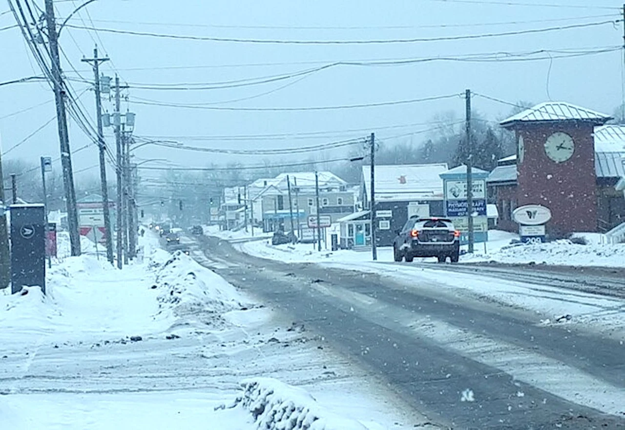
The winds and rain weren’t the only issue the region had to deal with. We saw a textbook flash freeze across the Maritimes on Friday.
Fredericton, N.B., saw an astounding temperature drop of 10°C in 20 minutes on Friday morning. The city’s airport recorded a temperature of 11°C at 10:42 a.m. local time, which dropped to just 1°C by 11:00 a.m. That’s one powerful cold front.
The dramatic temperature tumble prompted flash freeze warnings across the Maritimes. The sudden arrival of the cold air froze any standing water remaining on roads and sidewalks, making for hazardous travel by vehicle and by foot during the day on Friday.
COLD TEMPERATURES THIS WEEKEND, THEN ACTIVE PATTERN BUILDS AGAIN
Behind the departing storm, conditions will remain cold for the next couple of days across Atlantic Canada.
An active pattern will build over the East Coast heading into next week, with the opportunity for several systems to affect the Atlantic provinces. We could see a messy mix of rain, snow, and ice from these systems, but it’s still too soon for details on the timing and specifics.
CHECK IT OUT: PHOTOS FROM ACROSS THE REGION
Regardless of what comes our way next week, residents across the region will have to spend the weekend cleaning up from this latest storm. Check out some of the photos that lit up social media during the rain and high winds, below.
Embedded content: https://twitter.com/Greenwich_Fire/status/1494820059251986440
Thumbnail courtesy of Marc Normand, taken in Nashwaaksis, N.B., on Feb. 18, 2022.
Stay tuned to The Weather Network for the latest conditions across Atlantic Canada.