PHOTOS: Dangerous nocturnal thunderstorms catch southern Ontarians off guard

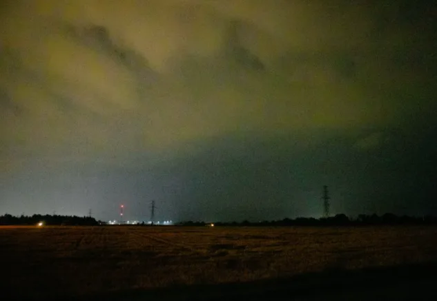
A potent nocturnal thunderstorm roared through western parts of the GTA early Wednesday catching some drivers off guard as they navigated through strong winds and torrential downpours.
A hot and humid airmass has fueled the thunderstorm threat across southern Ontario this week, with rounds of storms reported over the past couple of days.
A potent nocturnal thunderstorm roared through western parts of the GTA in the pre-dawn hours of Wednesday, bringing torrential downpours, frequent lightning, and strong wind gusts.
Drivers reported periods of near-zero visibility and hazardous road conditions at times, as wind and rain impacted major expressways throughout the early morning darkness.

MUST SEE: Why nocturnal thunderstorms can be particularly dangerous
"Nocturnal thunderstorms are fueled by atmospheric instability that lingers well into the nighttime hours, and are most common in the hot, humid summertime when temperatures remain elevated overnight," explains Michael Carter, a meteorologist at The Weather Network.
These storms can be particularly dangerous due to the limited nighttime visibility, and the fact that they often catch people off guard.
The risk for rain showers and thunderstorms lingers across the region through Thursday, with stronger storms, some of which may even reach the severe threshold, possible near the Lake Erie shores.
Here's a look at Wednesday morning's storms as the impacts rolled through on Twitter.
Thumbnail image courtesy: Timothy Ponepal