Snowfall continues for Saskatchewan, Manitoba on Monday

Impacts from the Colorado low include reduced visibility on highways, icy roads from freezing rain, and the potential for damage to utility infrastructure.
A pattern reversal across North America has allowed the season’s first Colorado low to develop and target the eastern Prairies. This means that heavy snow, rain, and gusty winds will impact the area on Monday and Tuesday.
Colorado lows, which are systems that form over the Rockies near Colorado and track into northeastern Canada, are a mainstay of weather forecasts this time of year. These energetic systems often pester Canadians with foul weather as they move through.
MUST SEE: Heads up! Taurid Meteor Swarm expected to light up the night starting next week
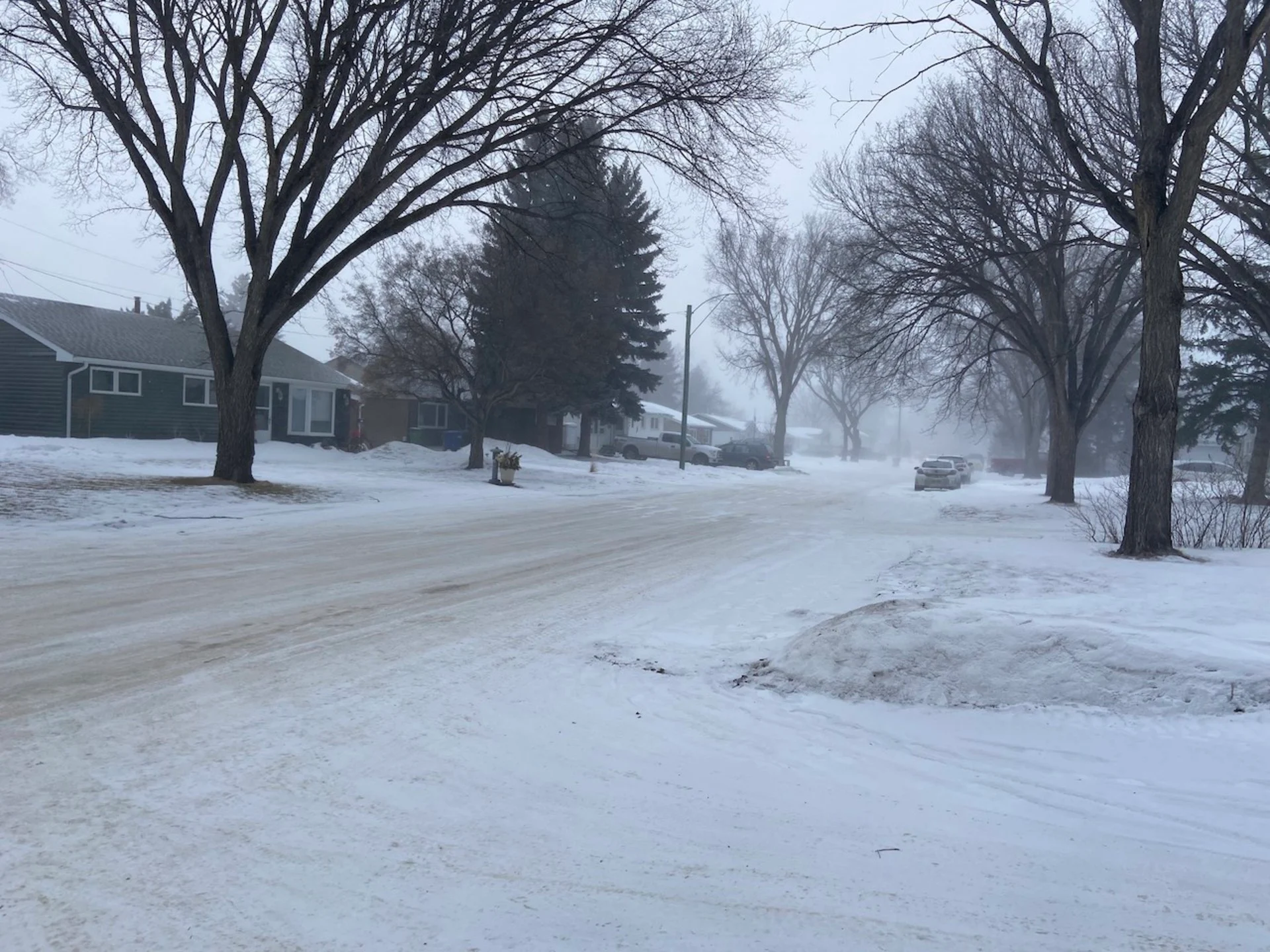
Special weather statements and snowfall warnings are in effect across southern Saskatchewan and Manitoba. Strong, northerly winds are also expected to accompany the falling snow. Expect visibilities to be reduced while travelling.

Snowfall totals remain somewhat uncertain due to the melting and compaction of wet snow.
Parts of Saskatchewan will also see freezing rain that will be patchy in nature, but higher elevations are expected to receive a couple of millimetres of ice accretion.
RELATED: How Colorado lows and Texas lows affect your weather in Canada
The heaviest snowfall will occur in southern Saskatchewan and northern Manitoba. Anywhere from 5-25 cm of snow is possible and this precipitation is expected to persist into Tuesday.
Snowfall will begin to taper off west to east into Monday morning.
The relatively mild temperatures in Winnipeg mean it will result in rainfall in the city instead of snowfall into early Monday. Heavy rainfall is expected across much of the Red River Valley, Interlake Region, and eastern sections of the province. Some spots might approach close to 40 mm of rainfall through Monday.

Impacts from this system include reduced visibility when travelling on highways due to heavy falling snow, icy roads from freezing rain, and damage to ground utility infrastructure as a result of ice and wet snow accumulating on trees with foliage in combination with gusty winds.
Stay tuned to The Weather Network for the latest forecast updates on the Colorado low.