Parts of Newfoundland may see up to 50 cm of snow from intense squalls
Sea-effect snow squalls will fire up in Newfoundland, bringing the island a winter wallop through Friday. Some areas could see upwards of 50 cm, so treacherous travel is expected
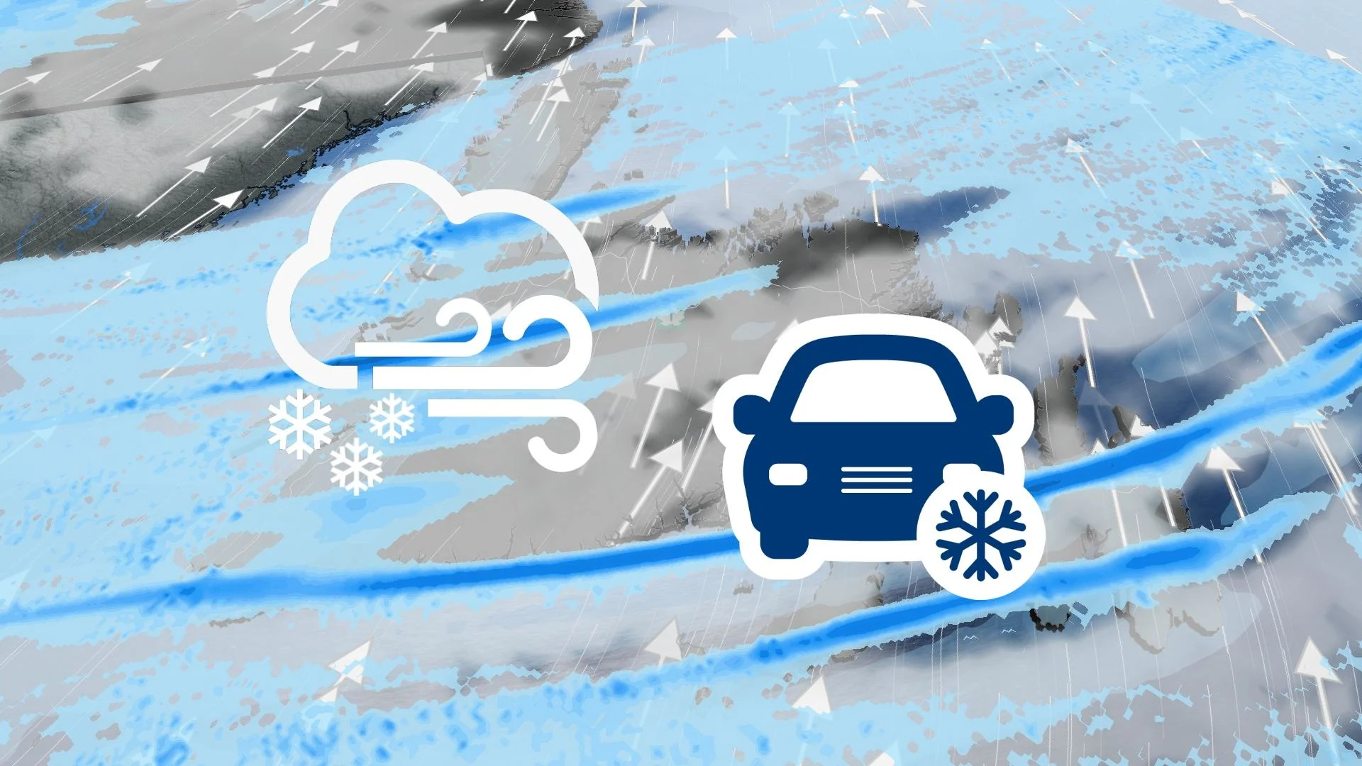
Travellers in western Newfoundland, especially, will need to plan ahead as another round of heavy snow is en route.
Conditions are favourable for a band of intense, sea-effect snow squalls to develop Wednesday overnight, and will continue to intensify during the day Thursday.
Visit our Complete Guide to Winter for an in-depth look at the Winter Forecast, tips to plan for it and much more!
Drivers are urged to plan ahead and to be prepared for the quickly changing travel conditions. Visibilities will be significantly reduced due to the heavy snow combined with blowing snow, and snow will quickly accumulate.
Up to 50 cm of snow could accumulate in the hardest-hit areas by Friday.
Thursday - Friday
Wednesday overnight, sea-effect snow squalls start to develop, ramping up through the day on Thursday and continuing into Friday.
The strongest snow squalls will set up for western Newfoundland, from Port-aux-Basque through Stephenville, Corner Brook, Deer Lake, and into the Northern Peninsula. Upwards to 50 cm of snow is possible in the heaviest bands.

PHOTOS: Powerful snow squalls bury communities with knee-high totals
Another sea-effect snow band is forecast to set up on the Burin Peninsula and push into the southwestern sections of the Avalon. Snow won't be as heavy for these regions, but will still be persistent and blustery. Up to 30 cm of snow is likely.
Widespread snow squall watches and warnings are in place, with the threat for whiteout conditions and difficult travel into Friday.

"Snow squalls cause weather conditions to vary considerably; changes from clear skies to heavy snow within just a few kilometres are common," says Environment and Climate Change Canada (ECCC), in the alert.
On top of the snow squalls, strong winds are expected throughout Newfoundland from Thursday to Friday. Wind gusts of 80-100 km/h are expected to bring blizzard conditions in these snow squalls, creating zero visibility and treacherous travel.
Along with the snow squalls, colder temperatures will usher into the region, and will be exacerbated due to the wind. That will lead to wind chills in the -10 to -20 range.

Winds will start to ease by the weekend, with wind chill values in the minus single digits, but temperatures will continue to be below freezing into next week.
Check back for all the latest on your forecast across Atlantic Canada.