What's left of Oscar could soak East Coast locales with 100 mm of rain
Oscar leftovers will be infiltrating Atlantic Canada by Thursday afternoon, resulting in soaking rains and blustery wind gusts. Some locales could see upwards of 100 mm of rain by Saturday
After hitting Cuba as one of the smallest hurricanes ever documented, attention is now focused on its next target: Canada's East Coast.
Not as a hurricane or even a tropical storm, however, so no need for East Coasters to panic. What's left of Oscar is anticipated to get absorbed into a non-tropical system over the Atlantic, and then track north towards Atlantic Canada late week.
Visit The Weather Network's hurricane hub to keep up with the latest on tropical developments in Canada and around the world

The result will be some considerable rainfall amounts for parts of Atlantic Canada, as much as 100 mm in the hardest-hit regions.
Thursday to Saturday:
The cold front tracking across the country, and significantly cooling temperatures in its wake, will head into the Maritimes on Thursday morning, helping to draw the remnants of Oscar into Atlantic Canada.

Rain starts Thursday afternoon for the eastern shores of Nova Scotia and Newfoundland, with lighter shower activity for the Halifax, N.S., area. The intensity of rain increases overnight into Friday morning, mainly for eastern Nova Scotia and Newfoundland.
DON'T MISS: Autumn can still produce intense hurricanes across the Atlantic

Rain ends for Cape Breton by Friday evening, and Saturday morning for Newfoundland.
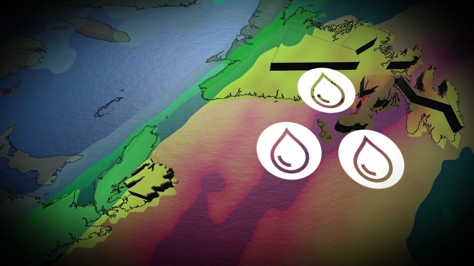
While the exact track is still uncertain at this time, total rainfall amounts of 50-100 mm are possible in some of the hardest-hit regions, with lesser amounts of the Nova Scotia peninsula. If the track changes slightly, it could shift where the heaviest rain falls.
Wind gusts pick up through pre-dawn hours on Friday morning, and peak in the afternoon and evening across Newfoundland.
Up to 60-90 km/h wind gusts are expected with this system.

The track of the remnant slow can change slightly, which can shift the heaviest rain, but confidence is high that Newfoundland will see the highest totals.
Gander, Corner Brook, and Bonavista, N.L., are threatened by upwards of 100 mm of rainfall.
Both the rain and winds are expected to gradually ease through the day on Saturday.
Chilly weather is expected for early next week, then turning much warmer again by the middle of and late week.
Be sure to check back for the latest weather updates across Atlantic Canada.