Ready? Early November will feel more like September in Ontario

A summer-like stretch could put decades-old temperature records at risk, but a soggy forecast is also taking shape across the province
November is about to arrive in Ontario, but this forecast will have you double-checking the calendar.
An exceptional stretch of warmth will bring daytime highs near or above 20 degrees across the province, with Windsor forecast to reach 22°C on Tuesday.
DON'T MISS: The Halloween blizzard that raged through the Great Lakes
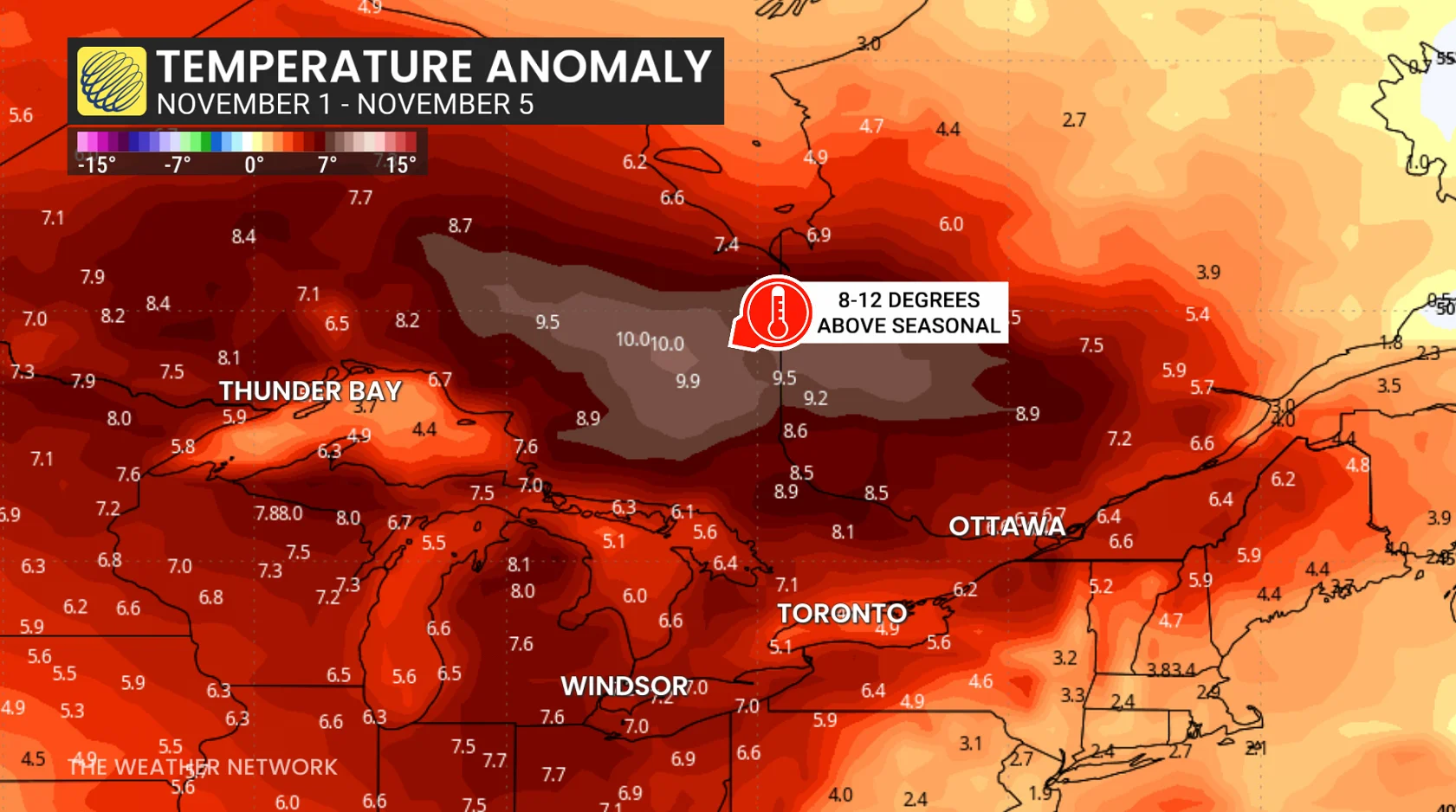
Conditions across North America are working together to keep Ontario warmer-than-normal to start the new month.
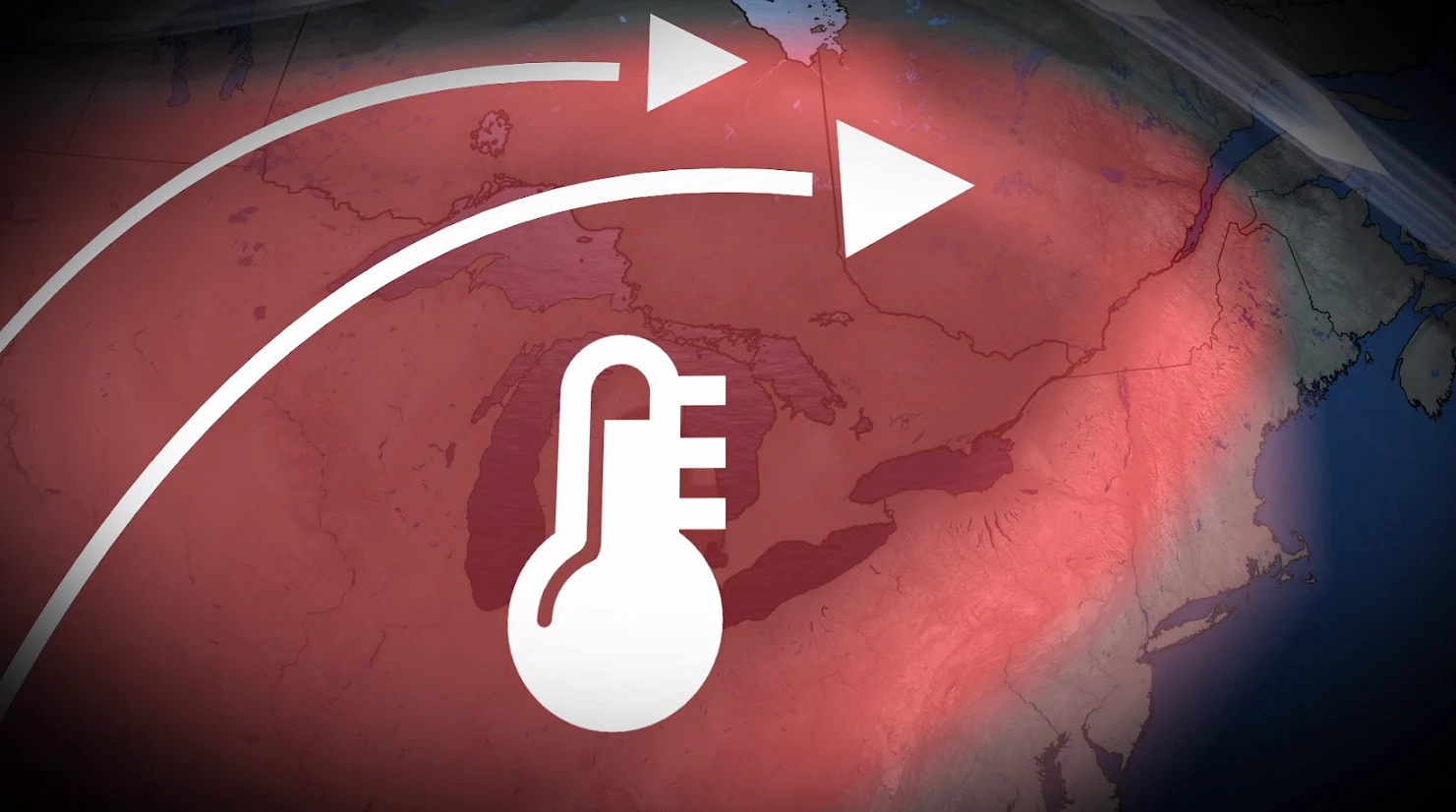
A deep trough near California and an atmospheric river spilling over the southwestern U.S. are amplifying a ridge of high pressure across the heart of North America. Meanwhile, mild air from the tropics will pump excess moisture and above-seasonal temperatures into the region.
As a result, every square centimetre of Ontario will register at least 5°C warmer than average for the first five days of November. Northern parts of the province will see reading average nearly 10 degrees warmer than normal.
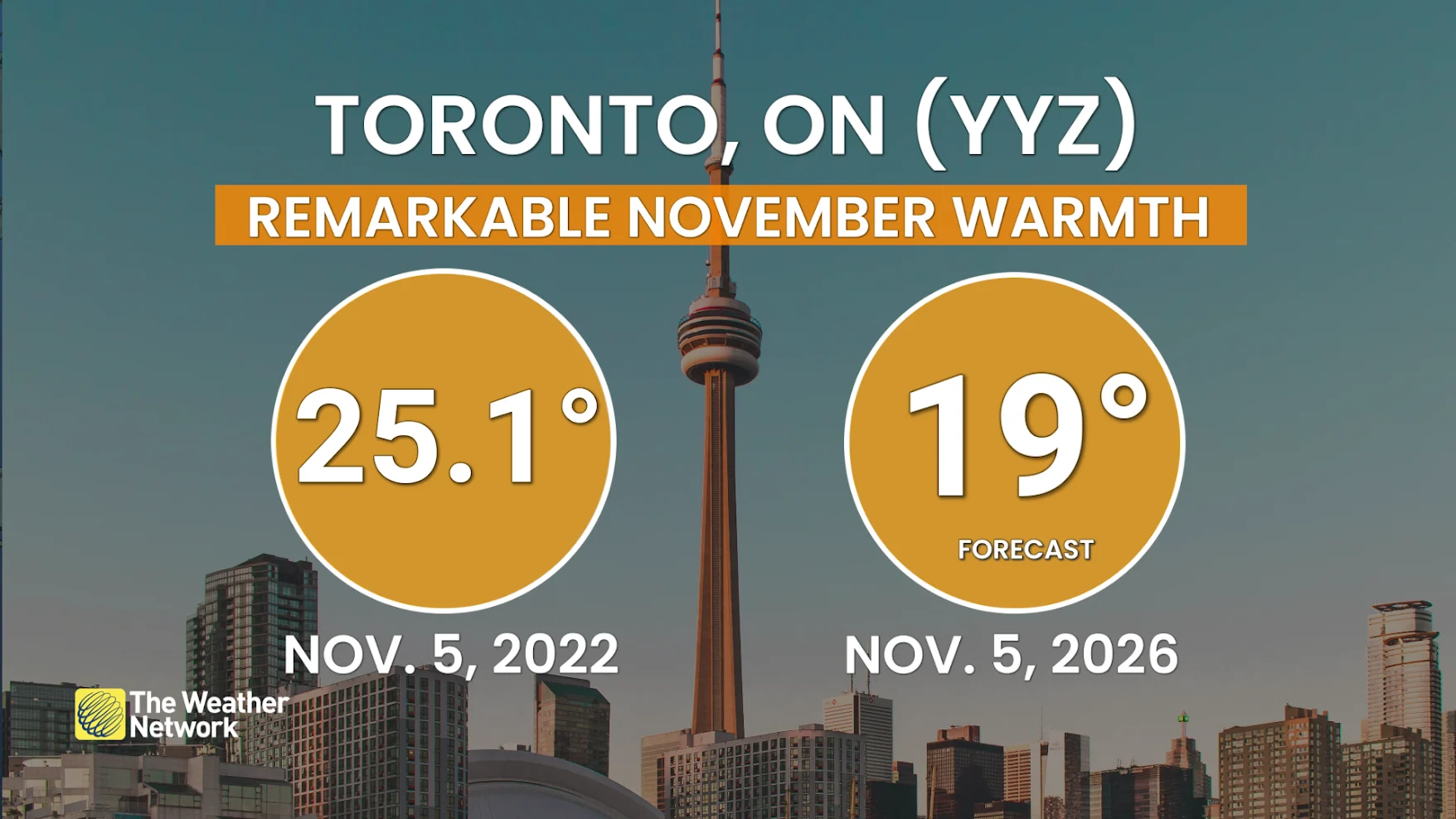
While November occasionally features brief spells of warmth, setups in 1956 and 2022 stand out in particular.
Toronto-Pearson Airport set its monthly temperature record on Nov. 5, 2002, when they hit 25.1°C for a daytime high. Looking deeper into the history books, multiple cities in southern Ontario started Nov. 1956 by notching their warmest-ever first five days of the month.
Given the warmer-than-normal nights in the forecast, some all-time mean temperature records are in jeopardy as this new month kicks off.
An even more remarkable feat is that the average low here is just 1-2°C above the freezing mark to start November. Some overnight lows are forecast to remain in the lower teens over the coming days.
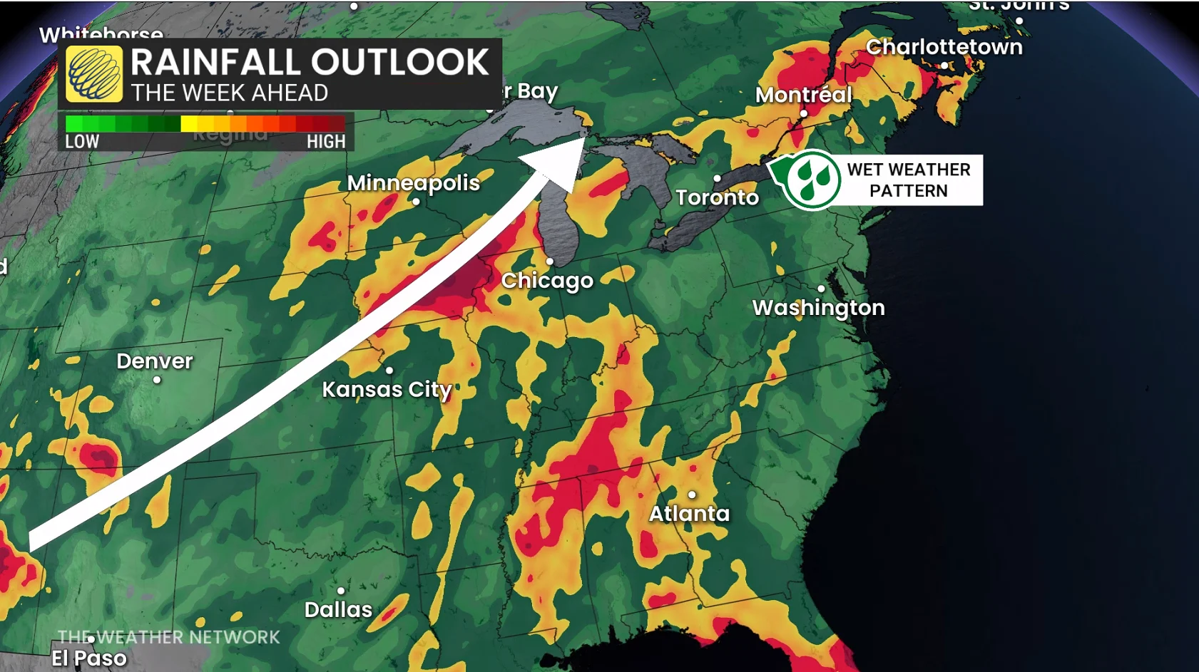
Warmth won’t translate to dry weather, though. We’re at the point where warm air has to push into the region from the south, and it’s often carried northward by areas of low pressure. This week ahead will prove no exception, with parts of Ontario expecting 50+ mm of rainfall.