Ontario finally in line for a rainy, windy fall storm this week

Gusty winds and heavy rain will spread into Ontario as a traditional fall low moves into the region this week
It’s been remarkably quiet this fall in terms of stormy weather and powerful systems across southern Ontario.
Persistent ridges of high pressure over the eastern half of North America have brought relatively warm and record-dry conditions to a significant swath of southern Ontario this fall. November even brought late-season thunderstorms and a tornado in Fergus.
That’s likely to change soon as a more traditional fall low is forecast to intensify and move across the Great Lakes on Wednesday, with some typical autumn-like impacts––including gusty winds and heavy rain.
DON’T MISS: Where’s the snow in Toronto this season, and are we behind?
This week:
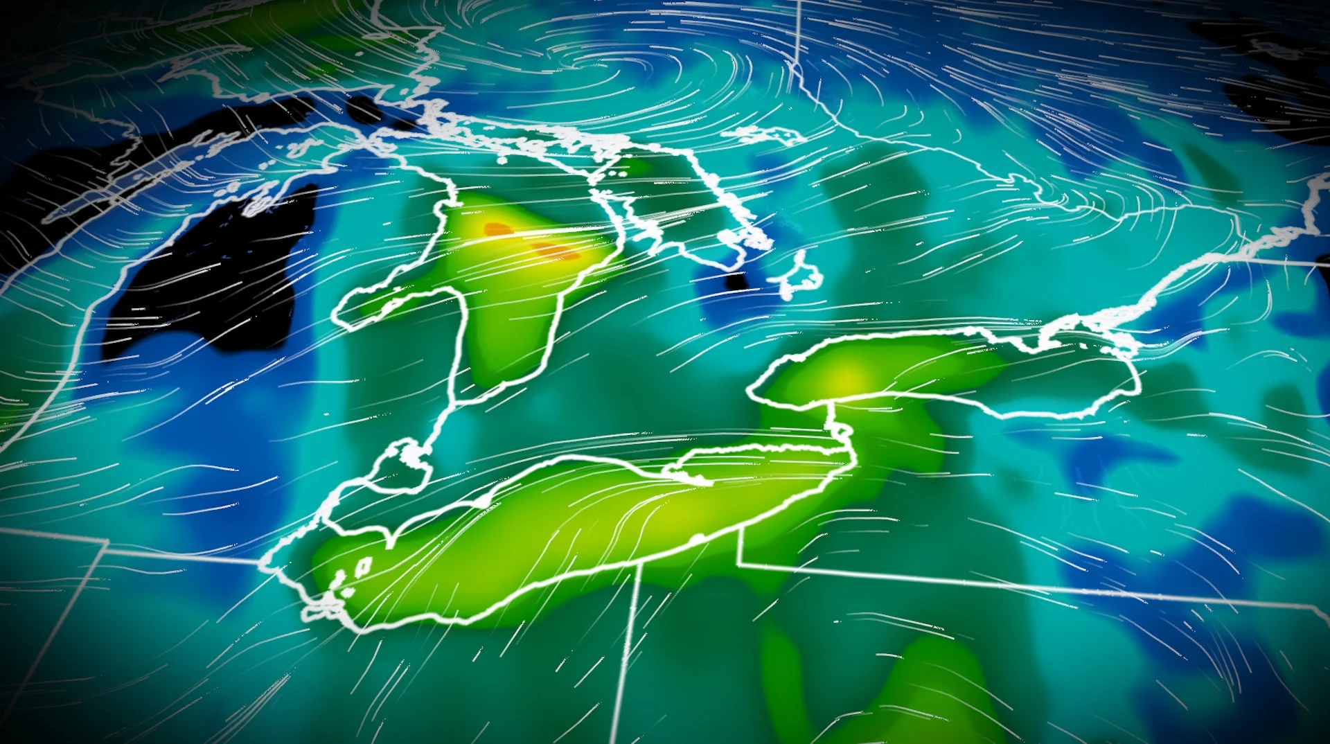
Our initial Texas low will spread gusty winds up to 80 km/h and heavy rain across northwestern Ontario on Tuesday, a little unusual for the second half of November. It should be snow this time of year, so that means our temperatures are upwards of 10 degrees above seasonal across the north.

Cold air funnelling southeast out of the Prairies will create the ingredients needed to intensify a low across the Great Lakes and the eastern U.S. for Wednesday.
Easterly winds will increase throughout the afternoon and evening along Lake Ontario and Lake Erie.
SEE ALSO: La Niña watch remains in effect heading into this winter

On Thursday, the low will wrap around cooler air across southwestern Ontario, suppressing temperatures back to typical values in November.
Models are still in flux in determining the intensity of the low(s), with no clear consensus on where the dominant system will develop. Stay tuned for the latest updates over the next couple of days.

Beyond, a few days of windy conditions are likely and temperatures could be cold enough by Friday and/or Saturday for a mix of showers and flurries. Typical November weather is expected for the final week of the month.