Risk of hail, storms, snow and ice: Ontario set for typical spring storm
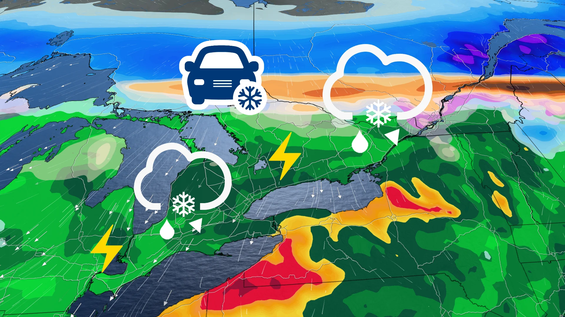
Ontario will see a tale of two seasons this week. Some areas will see significant snowfall and some ice buildup, while others are on alert for multiple rounds of thunderstorms--some of which could be severe
In true spring fashion, Ontario is in the crosshairs of a potent storm that will deliver impacts of reflective of the current season and winter.
The storm’s clash of air masses will deliver summer-like warmth to some southern regions and lingering winter chill to others in northern sections. Rounds of snow, ice, rain, and thunderstorms will hit the province Monday, Tuesday, and into Wednesday morning.
DON'T MISS: Will Canada’s volatile March go out like a lion or a lamb?
As April approaches, spring’s inconsistent pattern looks set to persist. While temperatures will trend in the right direction, with warmer peaks and less intense cold dips, consistently warm, above-normal weather is not anticipated as we move deeper into the month.
Northern Ontario: Snow and ice risks Tuesday
A developing system will bring a mix of snow and ice to northern Ontario starting early Tuesday.
Snow is expected to spread across areas including Thunder Bay and regions east of Lake Superior in the pre-dawn hours, with varying intensities through the day as waves of precipitation move in. The heaviest snowfall is anticipated Tuesday afternoon near Lake Superior, with accumulations ranging from 5-15 cm across areas north and east of the lake.

Farther south, freezing rain and ice pellets may begin Tuesday morning in communities northeast of Georgian Bay, extending across the Nickel Belt.
Rates of precipitation are expected to remain light during the morning, with minimal ice accumulation. However, conditions could worsen by Tuesday evening, with steadier freezing rain and ice pellets potentially impacting the region.
The exact location of the highest ice accumulation risk remains uncertain as the system’s track may shift farther north or south, potentially leading to changes in local impacts.
Southern Ontario: Rain, thunderstorms and 20°C temperatures for some
Shower chances arrived in southwestern Ontario by late Monday, and will spread east into the Greater Toronto Area (GTA) in the overnight period.
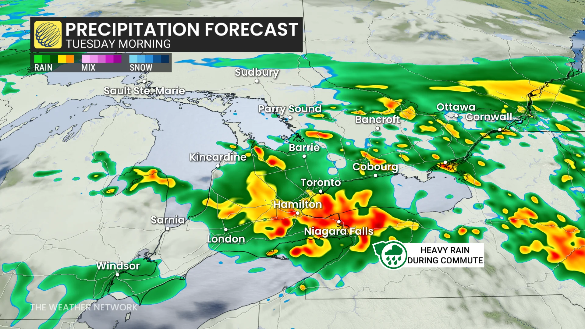
Widespread showers and thunderstorms are also expected into early Tuesday morning, including the possibility of organized clusters with frequent lightning.
Periods of rain and storms will continue Tuesday morning, with breaks into the early afternoon before activity picks up again later in the day.
Tuesday’s temperatures will remain similar to Monday, climbing to the upper teens and low 20s.

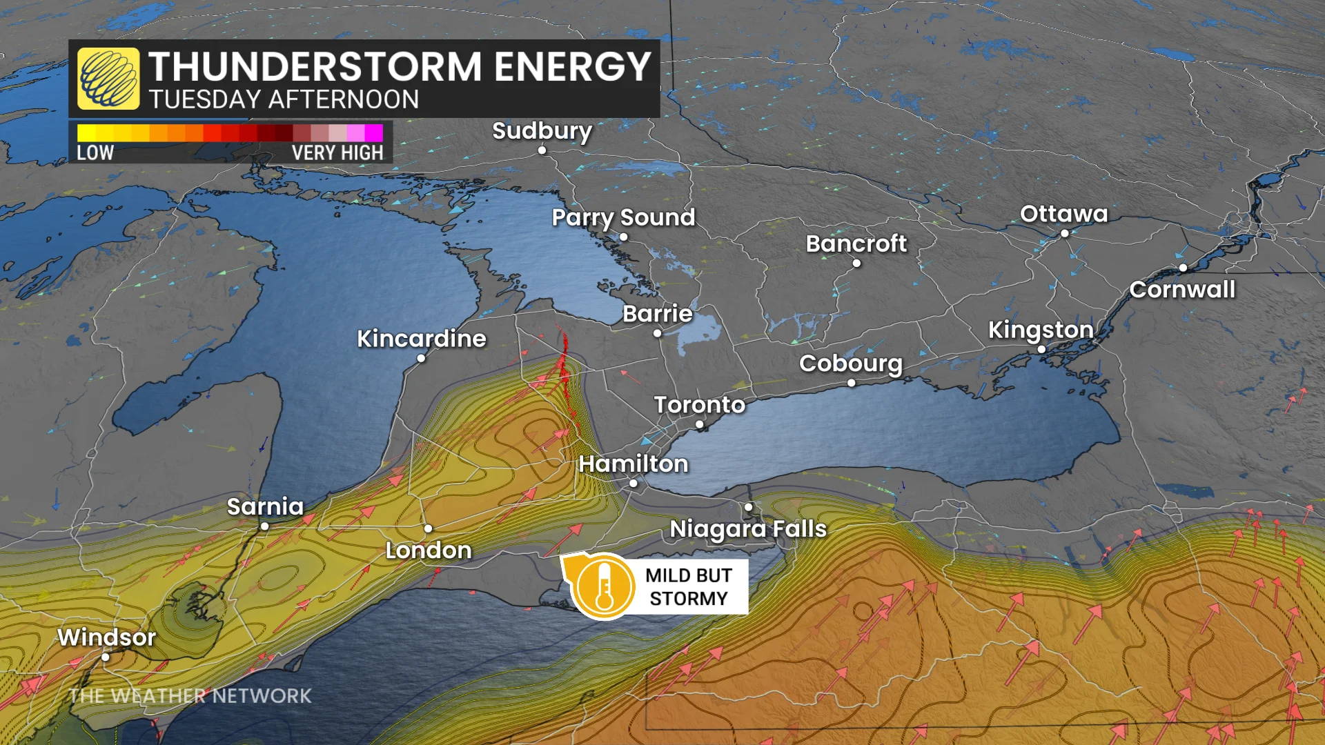
However, a cold front arriving Tuesday evening will bring another round of thunderstorms, potentially more widespread and severe. Hazards include heavy rainfall, isolated, strong winds, and small hail.
Rainfall amounts of 20-40 mm are expected across southern Ontario by Tuesday night, with locally higher totals in thunderstorms.
More stormy weather ahead
Active weather continues late this week into the weekend, with additional rounds of precipitation and fluctuating temperatures.
DON'T MISS: A typical April’s weather across Canada is one wild ride
Multiple precipitation types are possible as another dynamic system approaches.