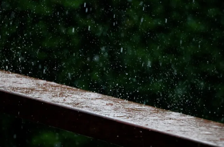
Ontario: Heavy rainstorm with widespread 20-40 mm raises flood concerns
April has been unusually dry in southern Ontario, but the prolonged rainfall event will quickly change that.
Southern Ontario will wake up to a widespread rainfall event on Wednesday morning that has the potential to cause flooding and pooling water in low-lying areas. Most of the region will see between 20-40 mm of rain by Thursday, but certain areas in eastern Ontario and north of Lake Huron could see accumulations up to 60 mm. There is also the risk for embedded thunderstorms, which could cause an increase in local rainfall totals. Details and timing, below.
WEATHER HIGHLIGHTS:
Widespread rainfall totals of 20-40 mm expected across the south, up to 60 mm near east end of Lake Ontario
Weekend warmup will feature the highest temperatures of the spring so far
Stayed informed of the weather ALERTS in your area
WEDNESDAY: WIDESPREAD HEAVY RAIN
Rain will become widespread Wednesday morning as the strong system tracks through southern Ontario, drawing in moisture from the southern United States, becoming heavier Wednesday afternoon.
SEE ALSO: Toronto might skip spring and head right into summer, here's why
A ridge of high pressure situated in Atlantic Canada can be attributed to the low-pressure system stalling in southern Ontario on Wednesday, which is why there will be soggy conditions for several days, hence the high totals.

In addition to the below seasonal temperatures, strong winds will hit 60 km/h Wednesday, creating a wind chill and blustery conditions.
This prolonged rainfall event has the potential to flooding and pooling water in low-lying areas. There will also be some embedded thunderstorms, which may increase localized rainfall amounts.
Weather Network meteorologist Tyler Hamilton says that the rainfall from this system could exceed the amount of rain that has fallen during the first three weeks of April.
“We’ve already seen 30-40 mm across parts of southern Ontario and we are forecasting 30-40 mm, so we’ll finish the month roughly around normal in the precipitation department,” Hamilton says.
The heavy rain will taper to scattered showers into Thursday morning, continuing through the day and possibly even into Friday for eastern parts of the province.
LOOK AHEAD: A QUICK SHOT OF WARMER TEMPERATURES BEFORE COLDER PATTERN LOCKS IN
Beyond this deluge will be a well-timed weekend warmup that looks to feature the highest temperatures of the spring so far, with some places having a fair shot at daytime highs at or near 20°C.
"The timing of a cold front will be key to temperatures on Sunday," Weather Network meteorologist Dr. Doug Gillham. "Faster timing would result in a cooler day on Sunday, but slower timing would give us another day in the upper teens to 20°C."
But the warmup will be short-lived, with a widespread colder pattern will return for the first week of May and continue through to at least Mother’s Day. Temperatures won’t be as cold as it has been in recent weeks, but still well below seasonal for early May.
Check back for updates as we continue to monitor this system.
