Ontario will see its driest stretch of weather in 5 months this week

Temperatures are beginning to climb and the region will see a relatively long stretch of dry weather
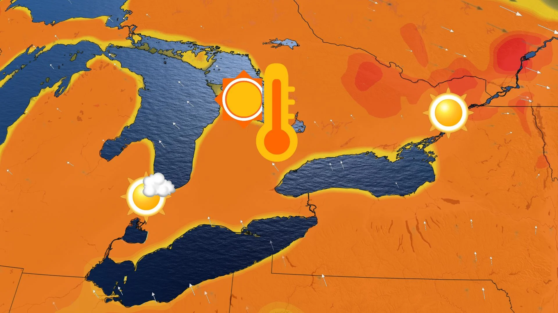
The weather that southern Ontario will see this week will not only feature some of the warmest conditions that the region has seen this year but could be the longest stretch of dry weather in five months. Temperatures will build as the week progresses and it currently looks like the next widespread rain will not come until next Tuesday. Details and timing, below.
WEATHER HIGHLIGHTS:
Temperatures cross the 20-degree mark on Friday, warmth will stretch into the weekend
Keep on top of active weather ALERTS here.
WARM TEMPERATURES BUILD ACROSS ONTARIO
Wednesday will feature near seasonal temperatures across much of southern Ontario, but the easterly wind off Lake Ontario will continue to keep temperatures quite cool across the GTA.
The persistent easterly wind is the result of a large area of low pressure near the East Coast of the U.S. and high pressure over Quebec, which will stall through the end of this week.
There's some chance showers could return Friday, but that day looks to feature daytime highs cracking the 20-degree mark as well, a harbinger for a warm and sunny weekend.

Weather Network meteorologist Kelly Sonnenburg says that much of southern Ontario could see the longest consecutive stretch of dry weather in about five months, or since the middle of December, due to high pressure in the region.
There is still the chance for a stray shower or two, but the next widespread rainfall for the region will not likely come until next Tuesday.
Check back as we continue to monitor the forecast.


