Lake-effect snow squalls to impact post-holiday travels in Ontario
Warm and cold air masses will collide over Ontario this week, bringing lake-effect snow and snow squalls back to the province as we kick off 2025
Winter took a bit of a snooze this past weekend in southern Ontario, with mild temperatures, heavy rainfall and gusty winds that lingered into the start of this week.
However, things will turn around quickly for the region as we end the year and kick off 2025. A major pattern change will unfold, bringing a return to winter for January's arrival.
RELATED: Arctic air goes on a trip to bring winter weather back to Eastern Canada
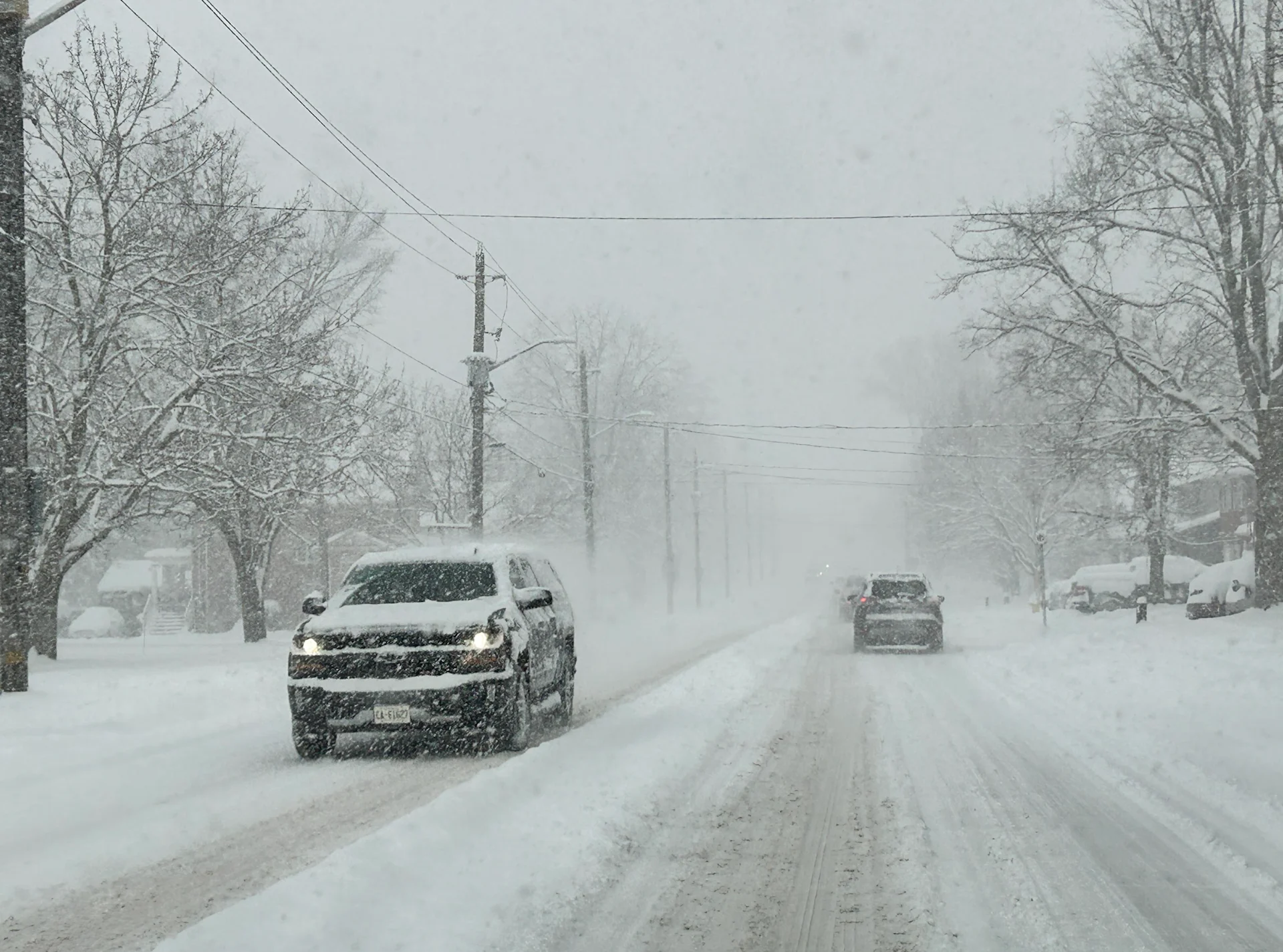
A Colorado low is expected to bring a mix of rain and wet snow starting on Tuesday. Areas north of the 401 corridor, and locales with higher terrain, could see 5-10+cm of snow. Brace for tricky travel as the roads will be slippery.
Keep an eye on local weather alerts and highway conditions before you hit the road this week.
Snow squalls make an unwelcome return this week
Polar air heading east from the Prairies is sweeping into the Great Lakes region, sending temperatures down from the lofty heights they reached over the weekend.

We could see some mixed precipitation occur around Lake Ontario's shorelines after Wednesday morning's snow burst. Some folks may even see rain showers through the afternoon.
Southern Ontario will clear up Wednesday evening, with lake-effect snow continuing for the snowbelt regions. Snow will begin Wednesday morning in the Ottawa region, and become heavy through the day. By then end of the day, folks in the Ottawa region could see around 5 cm of snow.
The lake-effect flurries will affect the snowbelt regions on Thursday. Difficult travel can be expected along the 400 highway in the north, especially around Barrie and Orillia. Some of the impacted areas could see upwards of 40+ cm of snow.

Environment and Climate Change Canada issued snow squall watches and warnings for the Barrie area and Lake Huron shores, as well as for the Sault Ste. Marie area.
"Snow squalls cause weather conditions to vary considerably; changes from clear skies to heavy snow within just a few kilometres are common," the agency states in their warning. "Consider postponing non-essential travel until conditions improve."
A cold polar airmass will move into Ontario and stick around through the beginning of January, fuelling the multi-day lake effect snow.

The snow will stick around through Friday, meandering south in Goderich, London and Woodstock.
SEE ALSO: Rare frost flowers turn icy landscapes into beautiful gardens
The snow squalls will also continue into the weekend, focusing on the southern Georgian Bay area. There is some uncertainty, however, with where exactly the bands will fall.
The squalls will finally dissolve on Sunday thanks to a storm system developing in Kentucky. The system won't be impacting Canadians directly, but is predicted to be strong enough to shift our winds.

All in all, significant lake-effect snow will roll into southern Ontario, brining the potential of 20-40+ cm of snow to the affected regions. The Greater Toronto Area (GTA) will likely not see the lake-effect snowfall.
Colder-than-normal temperatures are expected to dominate through at least mid-January.
Stay tuned to The Weather Network for more forecast updates across Ontario.