Persistent snow squalls stay put in Ontario as extreme cold moves in
It is likely Ontario's multi-day, lake-effect snow event will persist through Thursday. On top of that, extreme cold warnings have been issued across southern Ontario with a blast of Arctic air.
The same Arctic air bringing historically cold temperatures to the western half of North America has flooded into the Great Lakes, bringing some of the coldest temperatures we've seen so far this season.
Going somewhere? Check out the current highway conditions before heading out!
As a result, extreme cold warnings are in effect for a good portion of southern Ontario. It is recommended to limit outdoor exposure. Frostbite can develop within minutes on exposed skin, especially with wind chill.
And, the prolonged, lake-effect snow squalls are staying put on Wednesday as a new batch of watches and winter weather travel advisories have been issued.
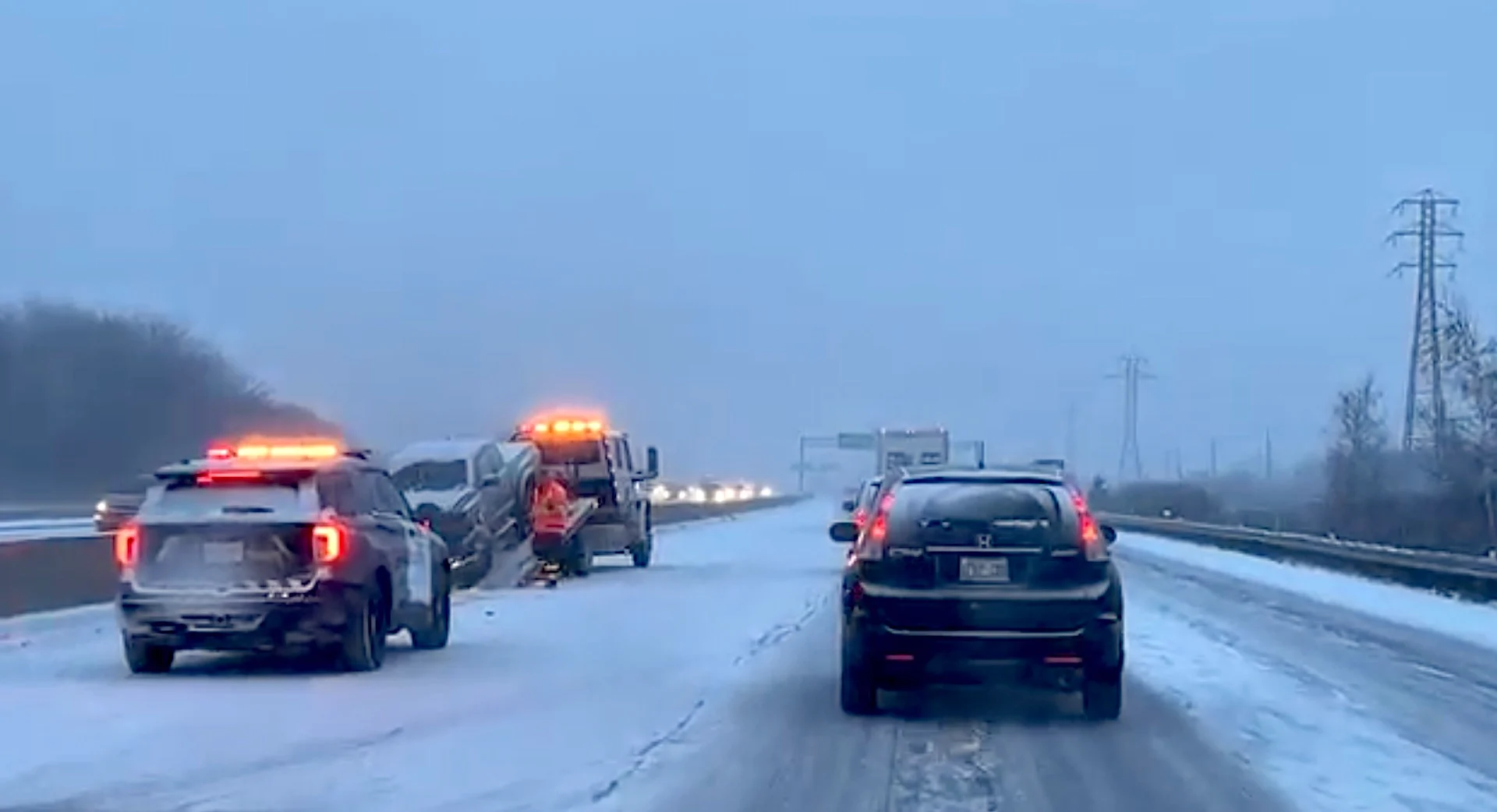
A reminder for those travelling in the snowbelt regions: Snow squalls cause weather conditions to vary considerably. Changes from clear skies to heavy snow within just a few kilometres are common. Travel is expected to be hazardous due to reduced visibility in some locations.
PHOTOS: Powerful snow squalls bury communities with knee-high totals
Wednesday
Very cold air will continue to fuel snow squalls in the snowbelts Wednesday morning. The Bruce and Niagara peninsulas, Prince Edward County and Parry sound will be directly affected by intense snow squall bands, with higher totals likely. Through the evening, regions may get hit hard with 20-50 cm of snow.

Niagara Peninsula commuters will want to pay attention during travelling times for lakes Erie and Ontario squalls. An approaching cold front will amplify the bands by the late afternoon and evening, leading to very intense weather in the aforementioned regions. Expect near zero visibility, with very heavy snowfall rates and blowing snow conditions.
RELATED: Toronto bas tobogganing at 45 hills
Lake Superior shorelines will see some of the worst conditions with heavy snow and gusty conditions. Between 30-60+ cm of snow is possible to accumulate by Wednesday, on top of what they have already had. Consider postponing travel to snow squall-affected regions.

Thursday morning may feature some weak system snow along shores of Lake Erie, with a widespread dusting of less than 3 cm coming to folks. Another weak system enters the same location Thursday night into Friday.
With extreme cold warnings in place, frigid temperatures will persist this week, with overnight lows bottoming out around -16°C for the GTA, and the low -20s for eastern Ontario. Wind chill values into the -20s and -30s will make things feel even colder, so residents are being urged to dress warmly and watch for symptoms related to the cold weather.

Risks are greater for young children, older adults, people with chronic illnesses, people working or exercising outdoors, and those without proper shelter.
Watch for cold related symptoms: shortness of breath, chest pain, muscle pain and weakness, numbness and colour change in fingers and toes.

RELATED: Why snow squalls are one of the hardest events to forecast
A milder pattern is expected for several days during the final week of January, followed by a colder pattern once again for the start of February.
Stay with The Weather Network for the latest on this high-impact storm across Ontario.