Sunday travel issues likely in southern Ontario with quick shot of snow
Prepare for dangerous driving conditions Sunday as a burst of heavy snow precedes the arrival of mixed precipitation and dense fog Monday
A messy couple of days are in store for Ontario as a pattern switch places the province squarely beneath an active storm track.
Expect a burst of snow Sunday afternoon across portions of southern Ontario, including the Greater Toronto Area (GTA), that could make for periods of dangerous travel.
A warm front pushing into the region Monday could allow dense fog and bouts of freezing drizzle to spread over the region.
DON’T MISS: La Niña and the polar vortex team up to delay spring in Canada
Sunday: Burst of snow likely to impact travel
Snow will develop ahead of a low-pressure system pushing into Ontario from the eastern Prairies. We’ll see snow spread over northern Ontario through Sunday morning before reaching southern Ontario later in the day.

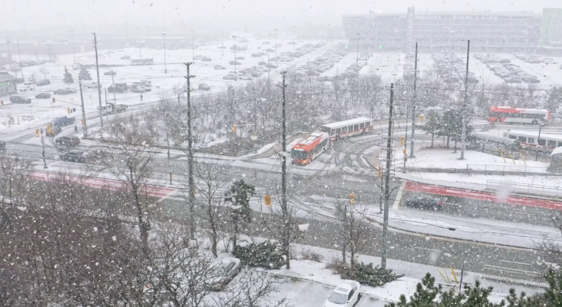
A quick burst of heavy snow is expected to develop across extreme southwestern Ontario late Sunday afternoon, spreading east into the GTA by dinnertime.
Peak snowfall rates of 1-2 cm per hour are likely on Sunday evening, between 4 p.m. and 7 p.m., as this burst of snow moves across the region. Folks across the GTA can generally expect 2-4 cm of snow on Sunday, with 3-5 cm possible on the Niagara Peninsula.

Visibility may be suddenly reduced at times in heavier bursts of snow. Be prepared to adjust your driving with changing road conditions.
Monday and beyond: Snow, rain, freezing precipitation and fog chances
A mixed bag of precipitation is in the forecast for our Monday as the system crosses the area.
Rain will push across southern Ontario on Monday, possibly reaching as far north as Barrie and southern Georgian Bay before transitioning back to snow. Toronto proper hasn’t measured any rainfall since Jan. 1.
It’s possible that some of the precipitation will fall as freezing rain or drizzle across inland sections of the GTA up toward Collingwood. Forecasters will continue monitoring this risk.

Precipitation may transition to snowfall later Monday, potentially bringing portions of the GTA a few centimetres of snowfall as the cold front passes through the region.
Warm air pushing over lingering snowpack will bring the risk for dense fog across a wide swath of southwestern Ontario on Monday. Keep an eye out for reduced visibility and prepare for tough driving conditions in pockets of fog.
The next major system to watch will arrive Wednesday night and Thursday. At this point, primarily rain and freezing rain are expected, with a risk for significant ice buildup for some areas. Precipitation types and amounts would heavily depend on the system’s track through the region.
WATCH: La Niña, polar vortex cast a wintry shadow over Canada's February outlook
Stay tuned to The Weather Network for the latest forecast updates for Ontario.